Download
1 / 13
130 likes | 134 Views
This article discusses the use of National Ice Center (NIC) charts to improve seasonal forecasting for the Northwest Passage. It examines the accuracy of NIC/NAIS outlooks, reasons for inaccuracies, and methods for improvement. The article also explores the historical trends in Barrow-Prudhoe Bay navigability and compares NIC forecasts with observed trends. The next steps for improving seasonal forecasting are also outlined.

E N D
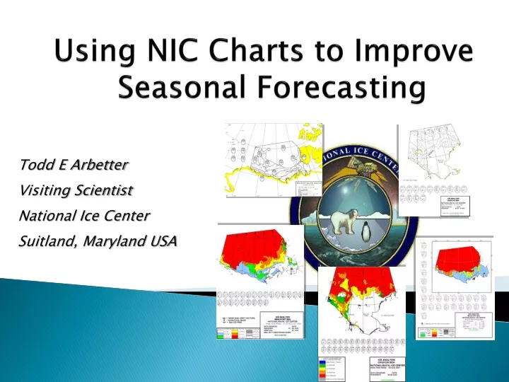
Using NIC Charts to Improve Seasonal Forecasting Todd E Arbetter Visiting Scientist National Ice Center Suitland, Maryland USA
Introduction: Northwest Passage Statements from various agencies and entities that NWP was “open”. Media and public interest snowballed, leading to numerous (mis)interpretations of significance. Much of route is navigated annually by Canadian icebreakers and convoys, but clearing of Victoria Strait and M’Clure Strait unprecedented. Analyses indicated less MY ice in region than typical. Commercial viability remains limited in short-term, but event underscored the need to improve seasonal outlooks. National Ice Center
Sovereignty, Security and Other Stuff Changing Arctic conditions will bring new challenges and opportunities Map from British Broadcasting Corporation IBCAO Chart • Ice forecasts, outlooks needed for long term planning and support: • military/coast guard • commercial shipping and ecotourism • scientific research
Rationale How accurate are the NIC/NAIS outlooks? What are reasons for inaccuracies? Can the methods be improved? In the Context of: • Ice Chart Climatology • Numerical Weather Prediction Models • Remote Sensing and Station Data • Statistical Methods
The Project • Forecasting the Condition of Sea Ice On Weekly to Seasonal Timescales • NOAA Climate Transition Program • Ignatius Rigor (University of Washington) • Pablo Clemente-Colon (National Ice Center) • Todd Arbetter (National Ice Center) • Objectives: • Analyze observations from ice mass balance buoys and other in situ sources to validate the NIC forecast method • Exploit the significant lag correlations between variations in atmospheric circulation and sea ice extent to produce long range forecasts of Arctic sea ice conditions
History • NIC West Arctic: • prediction of shipping route between Pt Barrow and Prudhoe Bay along Alaska’s North Slope • Statistical forecast method initially developed by Barnett (1976) in response to heavy sea ice year in 1975 (North Slope route did not open) • Barnett Severity Index: linear summation of opening dates, ice edge distance from shore, and navigable season length • Opening, closing dates, severity determined by change in BSI from previous year Historically, NIC Forecasts underpredict severe years (low BSI) and overpredict light years (high BSI)… … but method has not evolved with changing Arctic.
North American Ice Service (NAIS) Western Arctic Seasonal Outlook • National Ice Center component • statistical regression • based on pressure, temperature readings at specified locations, times • compared with previous years • no meteorological model input • only concerned with Point Barrow-Prudhoe Bay • method not significantly updated since 1983 (ie same equations in use) • Canadian Ice Service component • based on ice freezing and melting degree days • RADARSAT analysis • compared with previous years • Canadian Meteorological Centre forecast winds, temperatures incorporated • more thorough coverage of Beaufort/Chukchi and in to NWP
Barrow-Prudhoe Bay Observed Trends 1953-2006 NIC Analyses indicate +24 days of North Slope navigation since 1953
Barrow-Prudhoe Bay: Forecast Trends since 1977 Observed Forecast Drobot -12.83 days -10.33 days +1.06 days -11.93 days -1.43 days +2.89 days
Summary • NIC records and charts indicate a trend toward longer periods of navigability along the Barrow-Prudhoe Bay shipping route since 1953 (+20-24 days) • NIC records indicate a trend toward earlier openings, later closings • Since 1977, NIC observations have shown the route opens 10 days earlier and closes 3 days later. • NIC statistical forecasts have trended opposite, opening 1 day later and closing 1.5 days earlier. • ARIFS (Drobot, University of Colorado) applied to 1986-2004, incorporating satellite observations, better matches the opening trend but does not improve the closing trend. Neither method consistently predicts accurate openings/closings (within 1 week of observed).
Meanwhile, in Antarctica… Climatology in progress, but little trend since 1974
Next Steps Collect other Seasonal Outlooks ARIFS (Sheldon Drobot) NWS Alaska Ice Desk (Kathleen Cole) CIS (Maria McLeod) Vexcel UK (Kim Partington) Evaluate Accuracy Prudhoe Bay Sea Route Amundsen Gulf Chukchi Sea Incorporate More Data Arctic Buoys Met Forecasts “Smart” Algorithms