Download
1 / 16
160 likes | 278 Views
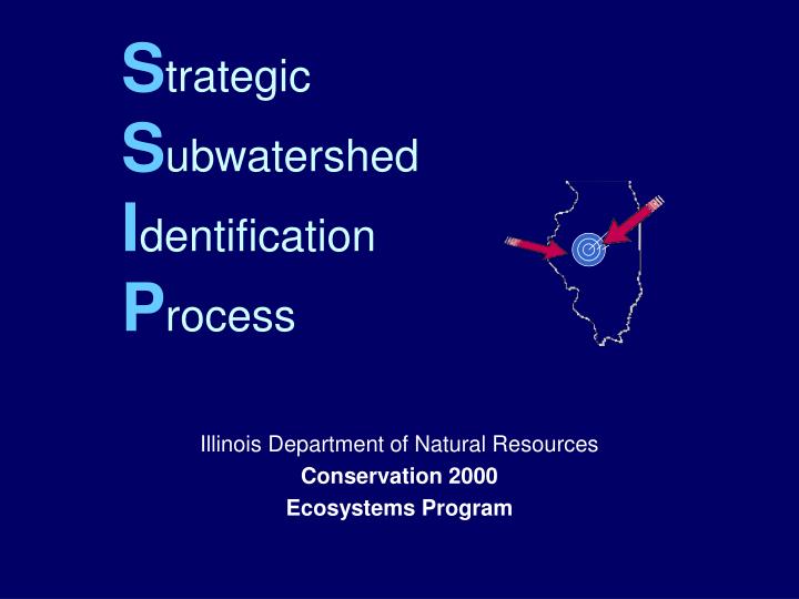
S trategic S ubwatershed I dentification P rocess. Illinois Department of Natural Resources Conservation 2000 Ecosystems Program. GOAL: To provide guidance to Ecosystem Partnerships for Watershed Protection and Restoration Efforts.

E N D
StrategicSubwatershedIdentification Process Illinois Department of Natural Resources Conservation 2000 Ecosystems Program
GOAL: To provide guidance to Ecosystem Partnerships for Watershed Protection and Restoration Efforts Maximizing Benefits of Ecosystem Management
Rapidly assess and identify strategic sub-watersheds • In order to: • More effectively use resources • Easily recognize success • Program sustainability
INTERACTIVE & DYNAMICPROCESS Natural Resource Data Partnership Involvement
Habitat Quality Index Biologically significant stream miles % of sub-watershed that is wetland % of sub-watershed that is forest Forest & wetland hubs ( 250/25 acres) Illinois Natural Areas Inventory (acres) % of sub-watershed publicly-owned land Number of Threatened & Endangered sites 100-year floodplain acres Potential wetland restoration (hydric soils)
Table 2: Scoring for Habitat Quality Index, Monitoring Sites and Conservation Activity
Monitoring Sites # of USGS stations # of water quality monitoring stations (state) # of CTAP/EcoWatch Conservation Activities # of C2000 projects # of other DNR projects # of CREP projects # of other projects (federal, local, etc.)
At-Risk Index % Urban Area % of land in row-crop Feet of channelized streams IEPA 303(d) listed streams
Other Considerations Landowner willingness Planning activities at Sub-watershed level Location within the Partnership Future Threats Other Information from Partnership?
Strategic Sub-Watershed Process 6 or 7 Strategic Sub-Watersheds Identified
How to Use SSIP • Focus future projects in strategic sub-watersheds • Use in prioritizing projects • Use as a marketing tool to influence landowners/local organizations/government officials located in strategic sub-watersheds to submit/support project proposals or other conservation activity • Incorporate in other agency planning processes • Use to leverage other funding sources
Time Frame for Identifying Strategic Sub-Watersheds Identify High Quality Sub-Watersheds Meet with Ecosystem Partnership Incorporate Partnership Ideas Finalize SSIP with Partnership Develop & Implement Projects in Strategic Sub-Watersheds
This process should be… RAPID SIMPLE DYNAMIC