Download
1 / 19
190 likes | 325 Views
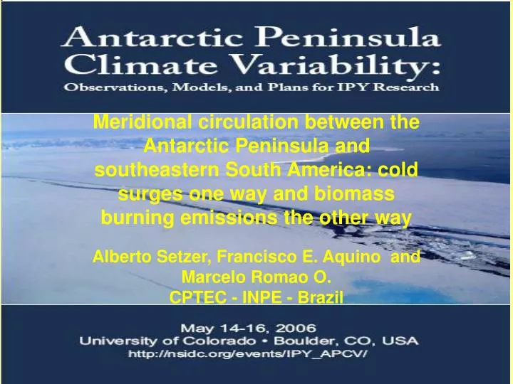
Meridional circulation between the Antarctic Peninsula and southeastern South America: cold surges one way and biomass burning emissions the other way Alberto Setzer, Francisco E. Aquino and Marcelo Romao O. CPTEC - INPE - Brazil. Abstract

E N D
Meridional circulation between the Antarctic Peninsula and southeastern South America: cold surges one way and biomass burning emissions the other way Alberto Setzer, Francisco E. Aquino and Marcelo Romao O. CPTEC - INPE - Brazil
Abstract In this paper we present two meridional circulation patterns in the lower troposphere between the north of the Antarctic Peninsula (AP) and South America (SA) that occur in all seasons of the year, so far not yet presented in the literature. Low pressure systems in the Weddell Sea produce outbursts of cold air at surface level that protrude 60° of latitude northwards, causing temperature declines of 10°C and precipitation in tropical areas in southeast and east SA. In the opposite direction, southward flow from central SA reaches the north AP under high pressure ridges, causing temperature increases of also 10°C or more. These meridional flows are corroborated with plenty of evidence of observational data from weather stations in the north of the AP and southeast SA, satellite imagery, synoptic charts, and with aerosol sampling in the South Shetlands.
Wind Vector at 925 hPa. Note strong circulation South=>North from Weddell Sea to the Brazilian coast 19/june/2005 20/june/2005
Wind Vector at 925 hPa. Note strong circulation South=>North from Weddell Sea to the Brazilian coast 21/june/2005 22/june/2005
Surface weather chart for 20/June/2005 12 Z Note the South=>North circulation from the Sea of Weddell to the S and SE cosat of Brazil
Surface weather chart for 21/June/2005 12 Z Note the South=>North circulation from the Sea of Weddell to the S and SE cosat of Brazil
11 and 12/September/2005: again, wet Antarctic circulation, brought temperature fall (10oC in 24h) and precipitation (snow and rain in in many counties in the southern states of RS and SC). Note longitudinal northern flow from 85oS to 20oS.
Frozen rain at Sao Joaquim, SC, south Brazil, 11/Sep/2005 (source: “A Notícia”) This Antarctic air is always wet because of the moisture absorbed when flowing over the SE Atlantic ocean, causing overcast skies and precipitation. Very different conditions from episodes of frosts, with clear skies and dry air in anticiclonic systems.
Summary of the South North circulation: • Unique meteorological phenomena: antarctic air from high latitudes in the Weddell Sea reaches South and Southeast Brasil, covering up to 60o of latitude (~7.000 km !) flowing from S N at lower levels with speed of ~15 m/s (~50 km/h). • Marked effects in tempeature and precipitation, mainly in the coastal regions of S and SE Brazil, and SE of South America • The number and persistence of such cases define the intensity of summers and winters in S and SE Brazil. The summer/2004 was the coldest in the last decades with more Antarctic air, while that of 2005 was one of the warmests, with little antarctic air. • Phenomea not considered by forecasters, with no description found in the literature.
Frontal systems in the Drake Pass produce NW and N surface winds that transport Radon from South America to the South Shetland Islands.
Maps of biomass burning in Brazil: hundreds of thousands of events each year.
Smoke from vegetation burning in west of South America as imaged by AQUA/MODIS on 14/Sp/2004. Note continental dimension of the smoke pall and its transport to the south.
2004: 26,100 km2 of deforestation in the Brazilian Amazon Example of smoke pume reaching high levels of the troposphere (Deforestation fires,Rondônia, 2002)
Emissions from the vegetation burning in South America also reach the So.Shetlands with frontal systems in the Drake Pass. Measurements of Black Carbon and circulation patterns corroborate the transport of pollutants.