Download
1 / 26
270 likes | 518 Views
GPS and Agriculture. FRS 142 Casey McComsey. Traditional Thought. FARMER + TECHNOLOGY = …. Traditional Thought (cont’d). Utter Confusion. Yesterday’s Farmers Plow Fields With Mules Rely on Posts and Outdated Maps Work Sun-up to Sun-down. Today’s Farmers

E N D
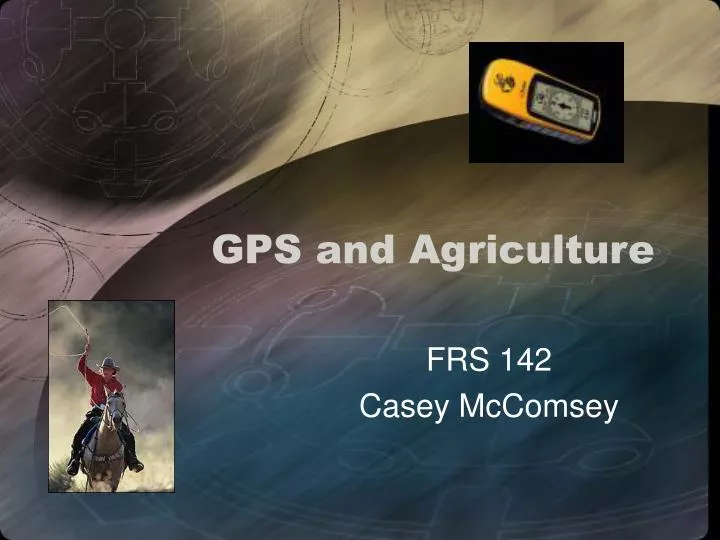
GPS and Agriculture FRS 142 Casey McComsey
Traditional Thought FARMER + TECHNOLOGY = …
Traditional Thought (cont’d) Utter Confusion
Yesterday’s Farmers Plow Fields With Mules Rely on Posts and Outdated Maps Work Sun-up to Sun-down Today’s Farmers Flip on Autopilot and Take in the Scenery Have Real-time Maps on an LCD Screen Work 24 Hours a Day if need be A Brave New World
GPS Applications • Field preparation, Planting and Cultivation • Fertilizing and Crop Protection • Mapping, Scouting, and Sampling • Harvesting • Planning and Analysis
The 3 P’s—Prep, Plan, Cultivate • Increase productivity driving straight, centimeter-accurate swaths • Save Time driving faster and more accurately, even in reduced light • Precision Planting of Seeds
The 3 P’s (cont’d) • Multi-tasking laying drip tape as you create a crop bed • Create and Maintain Detailed Records • Overall Best Utilization
Fertilization & Crop Protection • Optimization • Less fertilizer or protectant material and apply it only where it's needed. • More Efficient than the Old Method
Mapping, Scouting, and Sampling • All About Data and Details • Optimize Water Management • Scout Crops and Collect Map Data
Mapping, Scouting, and Sampling (cont’d) • Map and navigate around field boundaries, point, line, or area features • Map hard-to-reach features from a vehicle or airplane • Accurately scout crops and navigate to weeds, pests and diseased areas
Harvesting • Monitor the quality of harvesting operations • Minimize fuel and other costs with more accurate driving • Maintain detailed records of harvest operations • Create yield maps
Planning and Analysis • Easy to use software packages • Eliminate a lot of guess-work • Accessible when it’s needed—on location
RTK Technology • Real-Time Kinematic • Pioneered by Trimble in 1992 • Sub-meter DGPS Accuracy Not Enough • RTK offers centimeter level accuracy • Currently also used for mining, survey, and construction applications.
RTK II—What is Needed? • Base Station on Known Surveyed Point • 1 or More Mobile Receivers w/in 10 km Range • UHF, VHF, or Spread Spectrum Radio Link • Radios Work Best w/Line of Sight Visibility
RTK III—How does it work? • Base station transmits corrections via radio to the mobile receivers in the field • RTK base stations transmit data once per second • Data in format called CMR (Compact Measurement Record) • Dual frequency data format transmits data in a more compact and robust way than other formats
RTK IV • Track the Second Carrier Phase Signal • This Signal Allows for Trimble RTK to lock into Higher Accuracy • Also Initializes More Quickly
RTK vs. DGPS • RTK Requires 5 Satellites to Initialize, Can Work w/4 – DGPS 3, works well w/4 • RTK Requires a Dual Frequency Receiver • RTK needs one minute to initialize/DGPS immediately • Accuracy of cm’s in 3 dimensions—RTK • Sub-meter accuracy in horizontal position only—DGPS • RTK must have own base station in 10 km range • DGPS can use base station, correction service provider, or free radio beacons
Trimble GPS Products • AgGPS 252 Receiver • AgGPS EZ-Guide Plus Lightbar Guidance System • ApGPS EZ-Map Software • AgGPS Autopilot
AgGPS 252 Receiver • 12 Channel GPS Engine • RTK • Highly Portable • 5 lb Design
AgGPS EZ-Guide Plus • Lightbar Guiding System • LCD Screen • Eliminates Weather Concerns/Low-Light Worries
ApGPS EZ-Map Software • Runs on Handheld PCs and PDAs • Mapping Software Helps at All Stages of Production • Great Way to Show Proof of Work to Customers/Investors
AgGPS Autopilot • Steering Assistant • Must Have Driver Present However • Connects to Tractor’s Hyrdaulic Power Steering System
“We use the AgGPS PSO for straight guidance, headlands, and A/B lines. Our efficiency before and after getting our PSO is night and day, literally. Optimally, with the PSO we can do 1200 acres a day.” Darryl and Kyle Cochrane Cochrane Spraying, Canada Testimonials “With GPS, we are quicker and have increased our work-load within an 8-hour workday. The GPS swathing system lets me do more work per day than I was doing before.” Tommy Barham JT Barham Farming