Download

1 / 11
120 likes | 460 Views
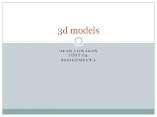
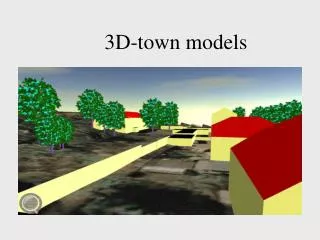
7-14-2011. 3D - Types of Surface Models. Raghav Vemula 3D Team. Agenda. Overview Discrete Vs. Continuous data Functional Surface Guidance for surface type selection. Surface types in ArcGIS. Three surface types Raster TIN Terrain. Surface types in ArcGIS. Raster

E N D
7-14-2011 3D - Types of Surface Models Raghav Vemula 3D Team
Agenda • Overview • Discrete Vs. Continuous data • Functional Surface • Guidance for surface type selection
Surface types in ArcGIS • Three surface types Raster TIN Terrain
Surface types in ArcGIS • Raster • Rectangular matrix of cells • Can store discrete and continuous data • A powerful format for advanced spatial and statistical analysis • Can potentially get very large • Spatial inaccuracies, loss of precision
Surface types in ArcGIS • TIN • Triangulated Irregular network • Nodes, edges, triangles Hull
Surface types in ArcGIS • Breaklines • Soft breaklines • Linear features; feature edges are maintained • Do not interrupt surface slope • Survey line, study area boundary etc. • Hard breaklines • Define interruptions in surface smoothness • Streams, ridges, shorelines, building footprints etc.
Surface types in ArcGIS • Terrain • A multi-resolution, TIN-based surface • Lidar, Sonar or photogrammetric sources • Reside in the geodatabase • Z-Tolerance and Window size pyramiding techniques • Supports all types of breaklines • ArcGIS offers tools to convert between different types
Discrete Vs. Continuous data • Discrete • Known and definable boundaries • Finite number of possible values • A lake boundary, land-ownership boundaries etc. • Continuous • Spatially non-discrete • Can assume infinite number of values within a range • Elevation, Temperature etc.
Functional Surface • All three surface types are functional surfaces • Any given location on the surface can have only one z-value • Two and a half dimensions (2.5D) • True 3D surfaces are known as solid model surfaces
How do I choose? • Raster • Advanced spatial analysis • Find patterns • Leverage map algebra • Triangulated approach • Preserve the precision of the input data • Incorporate breaklines • Tin • High-precision modeling of smaller areas • Working with <10 million points • Terrain • Working with >10 million points, up to a few billion • Long term data management solution