Download
1 / 27
280 likes | 782 Views
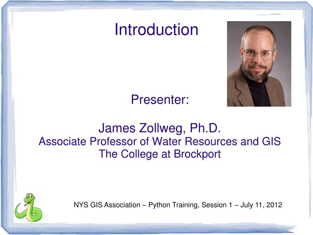
Presenter: James Zollweg, Ph.D. Associate Professor of Water Resources and GIS The College at Brockport. Introduction. NYS GIS Association – Python Training, Session 1 – July 11, 2012. 1. Python is an increasingly important part of ArcGIS mapping and geoprocessing

E N D
Presenter: James Zollweg, Ph.D. Associate Professor of Water Resources and GIS The College at Brockport Introduction NYS GIS Association – Python Training, Session 1 – July 11, 2012
1. Python is an increasingly important part of ArcGIS mapping and geoprocessing 2. Python 'scripting' is a powerful tool for modeling and process automation Why a Python Seminar? NYS GIS Association – Python Training, Session 1 – July 11, 2012
1. Build a greater sense of community among GIS professionals in NYS via shared professional development Another reason NYS GIS Association – Python Training, Session 1 – July 11, 2012
1. Watershed simulation model – perform a series of raster calculations for each day of a 20 year model run 2. Fire Department box book – automatically generate a map set of approximately 100 pages: each with different extent, title, locator map Motivational Examples NYS GIS Association – Python Training, Session 1 – July 11, 2012
NYS GIS Association – Python Training, Session 1 – July 11, 2012
1. The elements of Python – a general purpose programming language 2. ArcPy - provides Python access for all geoprocessing tools, as well as a wide variety of useful functions and classes for working with and interrogating GIS data. 3. Proficiency in ArcGIS mapping and geoprocessing Need to know NYS GIS Association – Python Training, Session 1 – July 11, 2012
Python is a free, cross-platform, open-source programming language that is both powerful and easy to learn. It is widely used and supported. To learn more about Python, visit python.org. Python NYS GIS Association – Python Training, Session 1 – July 11, 2012
Elements of Python – Getting a script window NYS GIS Association – Python Training, Session 1 – July 11, 2012
The Python script window (IDLE, the Python GUI) NYS GIS Association – Python Training, Session 1 – July 11, 2012
Values and variables NYS GIS Association – Python Training, Session 1 – July 11, 2012
Definite repetition NYS GIS Association – Python Training, Session 1 – July 11, 2012
Indefinite Repetition NYS GIS Association – Python Training, Session 1 – July 11, 2012
Lists NYS GIS Association – Python Training, Session 1 – July 11, 2012
Python Language Documentation NYS GIS Association – Python Training, Session 1 – July 11, 2012
ESRI help - ArcPy NYS GIS Association – Python Training, Session 1 – July 11, 2012
Export to PDF NYS GIS Association – Python Training, Session 1 – July 11, 2012
List layers, version 1 NYS GIS Association – Python Training, Session 1 – July 11, 2012
List Layers, version 2 NYS GIS Association – Python Training, Session 1 – July 11, 2012
List Attributes NYS GIS Association – Python Training, Session 1 – July 11, 2012
Courses -free NYS GIS Association – Python Training, Session 1 – July 11, 2012
FREE online course NYS GIS Association – Python Training, Session 1 – July 11, 2012
Resources for learning Python/ArcGIS NYS GIS Association – Python Training, Session 1 – July 11, 2012
Courses - inexpensive NYS GIS Association – Python Training, Session 1 – July 11, 2012
Serious training NYS GIS Association – Python Training, Session 1 – July 11, 2012
Tuesday, July 17, 2012 11AM - 1215PM Next Session NYS GIS Association – Python Training, Session 1 – July 11, 2012
Links NYS GIS Association – Python Training, Session 1 – July 11, 2012
Congratulations for jousting with a useful, important and difficult topic! jzollweg@brockport.edu Thanks! NYS GIS Association – Python Training, Session 1 – July 11, 2012