Download
1 / 35
350 likes | 518 Views
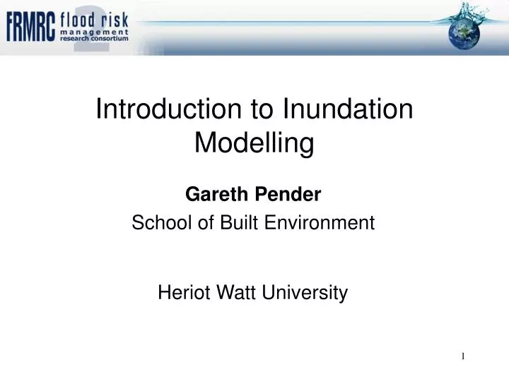
Introduction to Inundation Modelling. Gareth Pender School of Built Environment. Heriot Watt University . Main river channel can’t contain the water. Spills onto the surrounding land. Flood. Fluvial Flooding. Models allow us to make predictions:

E N D
Introduction to Inundation Modelling • Gareth Pender • School of Built Environment Heriot Watt University
Main river channel can’t contain the water. Spills onto the surrounding land. Flood Fluvial Flooding
Models allow us to make predictions: • Derive water levels/flood maps for events more extreme than have been recorded so far • Derive results for specific return periods (eg 1 in 100) • Predict impacts of climate change • Assess ‘benefits’ of different flood defence interventions • Inform flood warning/response decisions • Predict what would happen if defences fail • And much more… Models help us understand (and hopefully prepare for) what could happen
Models for Flood Risk Management Some are simple Manning’s Equation
Q T h h Q One-dimensional computer modelling x Q
KNAPP CS1 ToneFPS_5 HAM HAMWU ToneFPS_6 SEC_PP_380U CSM04 CREECH ToneFPS_8 ToneFPS_9 CREECH One-dimensional computer modelling
Q T x Q h Q One-dimensional computer modelling
In summary 1D models are: • good for design purposes • relatively easy to run • good with in-channel structures • lots of them already exist
Q Inundation extent 2D phenomenon
The most widely used k–ε turbulence closure model, Continuity Momentum .
v u w w v v u u Even more complicated techniques available 2D depth averaged. 3D hydrostatic pressure 3D non-hydrostatic pressure
Plus sub-sets depending on how turbulence is modelled! • Mixing length model • k-ε model • Non-linear k-ε • Reynolds stress model • Algebraic stress model
v u 2D depth averaged. Roger will discuss recent advances in this class of model.
So what’s new? • Increasing availability of remotely sensed data • Opportunities for : • better model validation • new modelling methods
LiDAR (Light Detection And Ranging) airborne mapping technique uses a laser to measure the distance between the aircraft and the ground results in the production of cost-effective terrain and vegetation height maps 1 point per 4m2 density.
SAR (Synthetic Aperture Radar) used for flood extent mapping systems are mounted on both satellite and airborne platforms also being routinely used to provide another source of topographic data to complement LiDAR.
CASI (Compact Airborne Spectrographic Imager) hyperspectral optical system measures light intensity. used to classify land use. in a flood modelling used to identify features on floodplains and provide additional data on vegetation properties
Leicester Combined LiDAR and CASI data
Model validation SAR image Inundation extent
New modelling methods LiDAR
Rapid Flood Spreading Methods Simple = very fast Continuity + Friction Law Pascal and I will discuss recent advances in this class of model.
Combining modelling methods inundation prediction? • Recall 1D models are: • good for design purposes • relatively easy to run • good with in-channel structures • lots of them already exist • not so good for predicting inundation which is essentially two-dimensional
utilise 1D approach for the main river channel • link to a 2D hydrodynamic solution for the flood plain • the mesh for the 2D solution will be generated from topographic data collected remotely and include flow paths through urban areas.
Q Fluvial inundation
Q Flood defence failure
Q Flooding from storm water drains
Q All three at once plus coastal flooding
Decision support Risky!
Before the Flood Kislingbury