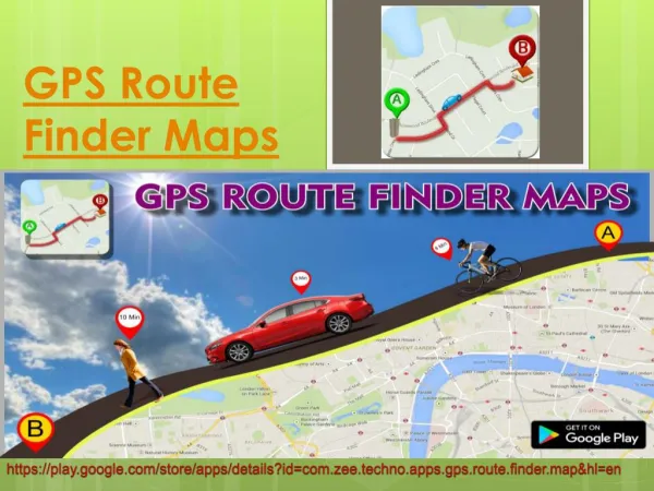
Download
1 / 14
190 likes | 318 Views
The Uganda route map for wetland inventories . Inventory Route Map. Wetland Rapid Assessment based on maps, literature, some Q&D fieldwork (samples). Area Location Values Threats. analysis. no. Important values or serious threats identified?. yes. Inventory Route Map.

E N D
Inventory Route Map • Wetland Rapid Assessment • based on maps, literature, some Q&D fieldwork (samples) • Area • Location • Values • Threats analysis no Important values or serious threats identified? yes
Inventory Route Map Rapid assessment yes known Is the wetland vital, valuable or dispensable? not known Study findings Carry out more detailed studies
Inventory Route Map Rapid assessment yes known Enough data available for priorisation and action planning? no Study findings Carry out more detailed studies
Inventory Route Map Rapid assessment yes Start action planning according to table below
Inventory Route Map Wetland Rapid Assessment analysis Important values or serious threats identified in Rapid Assessment? no
Inventory Route Map Rapid assessment no No immediate action, but reassess during National Wetlands Inventory how
Inventory Route Map National Wetlands Inventory how • National Level • General overview of all wetlands • Fit within decentralisation or devolution processes • Limit data to absolute minimum for assessment and priorisation needs • Develop data storage system • Think about monitoring and updating what
Inventory Route Map National Wetlands Inventory • Land-use/cover • Ownership • Land-use around wetland section • what • who • impact on wetland • Conservation status • Level of threats on • hydrology • ecology • uses • Area • Location • National Code • Wetland type • Basic features • hydrology • ecology • Uses • what • who • impact what
Inventory Route Map National Wetlands Inventory yes Important values or serious threats identified for specific wetlands in National Inventory? no • Monitor
Inventory Route Map National Wetlands Inventory yes yes Enough data available for priorisation and action planning? no Study findings Carry out more detailed studies
Inventory Route Map National Wetlands Inventory yes Follow table below for action planning