Download
1 / 44
440 likes | 580 Views
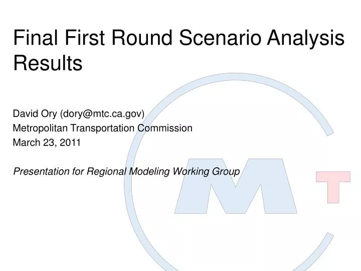
Final First Round Scenario Analysis Results. David Ory (dory@mtc.ca.gov) Metropolitan Transportation Commission March 23, 2011 Presentation for Regional Modeling Working Group. Which scenarios. GHG first. Travel model results. Other targets. Next steps. Questions.

E N D
Final First Round Scenario Analysis Results David Ory (dory@mtc.ca.gov) Metropolitan Transportation Commission March 23, 2011 Presentation for Regional Modeling Working Group
Which scenarios. • GHG first. • Travel model results. • Other targets. • Next steps. • Questions.
Year 2005 (version 0.0). • Year 2020, Current Regional Plans (v 0.0). • Year 2020, Initial Vision (v 0.0). • Year 2035, Current Regional Plans (v 0.0). • Year 2035, Initial Vision (v 0.0).
Which scenarios. • GHG first. From air basin to nine counties. • Travel model results. • Other targets. • Next steps. • Questions.
-15.0 percent ARB Target -10.6 percent Current Regional Plans Initial Vision with T-2035 -11.2 percent -11.6 percent Initial Vision • 2035
-7.0 percent ARB Target -8.8 percent Current Regional Plans Initial Vision -10.3 percent • 2020
Which scenarios. • GHG first. • Travel model results. • Other targets. • Next steps. • Questions.
Roadway & Transit Supply Price Quantity
Automobile Ownership Image source: sedonakathy.wordpress.com
Scheduling Image source: flickr.com/sbisson
Activity Locations/ Travel Distance Image source: flickr.com/bigtimes
Travel Mode Choice Image sources: sedonakathy.wordpress.com; greencar.com
Transit Utilization Image source: flickr.com/SpokkerJones
Roadway Utilization Image source: flickr.com/cookieevans5
Year 2005 VMT by Household Location: http://geocommons.com/maps/56363 Year 2035 Current Regional Plans VMT by Household Location: http://geocommons.com/maps/56379
Which scenarios. • GHG first. • Travel model results. • Other targets See Planning Cmte Packet. • Next steps. • Questions.
Which scenarios. • GHG first. • Travel model results. • Other targets. • Next steps. • Questions.
Continue RTP analytical work Find & Fix Bugs Continue sensitivity tests (HOT & gas prices) Find & Fix Bugs Update runs using model version 0.1 Find & Fix Bugs
Which scenarios. • GHG first. • Travel model results. • Other targets. • Next steps. • Questions.