Download
1 / 37
370 likes | 774 Views
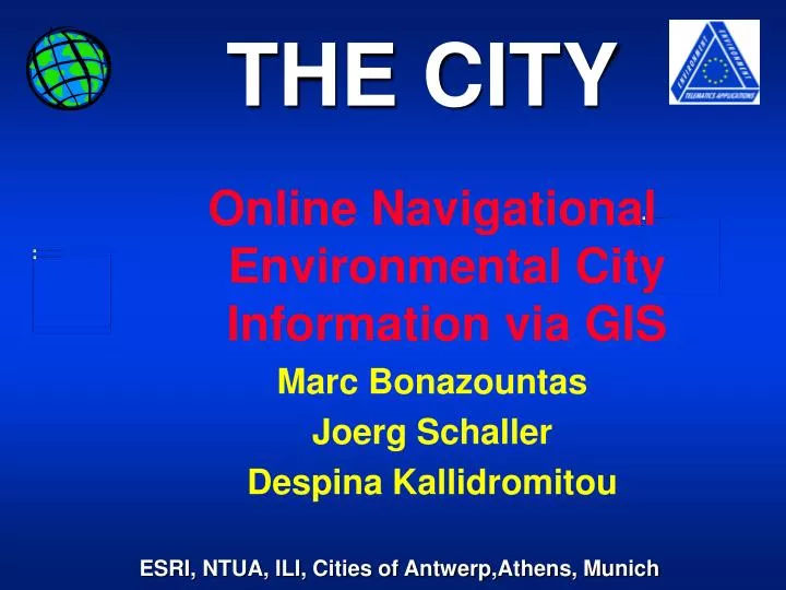
THE CITY. Online Navigational Environmental City Information via GIS Marc Bonazountas Joerg Schaller Despina Kallidromitou. The City. Project partners ESRI GmbH Germany NTUA Greece ILI Engeneers Germany City of Antwerp City of Athens City of Munich. The City.

E N D
THE CITY Online Navigational Environmental City Information via GIS Marc Bonazountas Joerg Schaller Despina Kallidromitou
The City • Project partners • ESRI GmbH Germany • NTUA Greece • ILI Engeneers Germany • City of Antwerp • City of Athens • City of Munich
The City • Delivers a validated GIS software technology (tool-kit) which is utilised by city departments and other interested parties to develop city-related environmental applications as environmental maps on demand & city environmental navigation however operational on the Internet via any commercial browser
The City Deliverables: • The city GIS Internet developers Tool Kit • Two Applications of the Tool Kit • environmental maps on demand • city environmental navigation & routing info • guidance & user;s manual for the 2 applications • three Validations (Antwerpen, Munich, Athens) • dissemination & exploitation strategy and Plan • Production of a demonstator on a CD -ROM
The City Technologies: • Standard ESRI GIS internet technologies enhanced by the THE_CITY developer Tool-Kit. • ARC/INFO • SDE • ArcView • Map Objects Internet Map Server • JAVA technologies (J++, IMS Java classes, JDK, Visual Café, J-Builder) • Web interfacing of GIS applications written in Java can draw major advantages of using Web-server-sided Java (Java serv-lets)
IS IS IS IS MapObjects Internet Map Server (IMS): Internet GIS technologische Barriere
GIS Locational data Attributes ID ID 1 ID 2 1 Budget 3 2 1 3 2 3 Parcel data Traffic Social Data Infrastructure Environment Population Integration by GIS ! 9
MapObjects Internet Map Server (IMS): SQL-Navigation VRML-Navigation GIS-Navigation
Work packages • USER Requirements • System Architecture • Technology development • Demonstrations, Validations
User Requirements USER Requirements are based • methodological information • interviews • review of the literature • feedback from similar EU projects • interviews with municipalities • interaction with other telematics projects • contacts with GIS & s/w producers • contacts with credits agencies (VISA) • additional sources
Toolkit Functions Loading Tools -Browsers -Parameters -Data Conversion, Import Data Processing Tools -Buffering, Intersect -Arc View Data Navigation Tools -Browsers -Application Server
Software Components Client HTML Browser, -JAVA-Applet for status information and special functions Application Server Components -Map Objects (MO) IMS and wrapper classes -Application Server Scenarios (appl. Server logic, appl projects, appl objects) Geodata sources, Geodata server (SDE), Metadata Webserver -HTML sources, Java applets classes Infrastructure -TCP-IP Network, DNS Services, Routing services, firewall (Internet), Security services, billing services hardware
Tool-Kit Applications • Distribution of Environmental city information (habitat quality, air quality, noise distribution, traffic emmissions) • environmental modelling (air pollution model, noise calculation, habitat balancing) • disribution of environmental educational data (maps of different air pollutants, parks, green areas, environmental reduction programs)
Tool-Kit Tools • Pan-Zoom through multiple map layers • display data using classifications, graduated symbols • ESRI shape files, ARC/INFO coverages, SDE layers • variety of image formats • perform spatial analysis and query • perform on-line network navigation • use relational DB and SQL queries • perform address matching & geocoding • track real time events with GPS • pay via the Internet • open system in terms of data
Munich - the city partner project goals
Environment InformationGlobal Aims • Decision aid for administration • Up-to-date information for the public • Dissemination of basic information • In-depth-Information for specialists • Strengthening "environment and health awareness"
Project goals - mapserver • Platform and OS indepence • "best viewed with any browser" • Real-time internationalization • modular application design • Embedded Documentation (xml), perl • Standard ArcView for Map Prototyping
Project goals - cdrom data • geographical data encryption • viewers on WinNT platform • seamless integration of online internet data
Project goals Licensing/interface • Open Source • GNU Copyleft or • Perl Artistic Licensefor MAPSERVER • open, standardized XML-Interface
Software • ArcInfo 7.2.1 • ArcView 3.01 • MapObjects 1.2 • MoIMS 1.0 • Apache/M$-IIS Webserver • Oracle 7/Access-ODBC database • SGML w. emacs/perl fordocuments
Applications • ArcInfo sectoral GIS information system of the city • ArcView prototyping for mapserver • mapserver reading odbs • CGI/database address-matching • SGML document handling system
DemonstrationsValidations Telepolis City of Antwerp Navigational map for routing Implementation of Environmental Information for route selection User interface for Info Kiosks
DemonstrationsValidations City of Athens Remote Internet access Navigational city database Online Air Quality Reporting and healthy routing proposals
DemonstrationsValidations City of Munich Emissions, Immissions Environmental maps on demand Healthy and educational Bycicle Routing
Project status • Environmental GIS in daily use • Mapserver prototyping • Mapserver up and running • SGML document environment in daily use • Cadasdral map of munich in work • Navigational Bicycle map of Munich in work
The City Innovation: • on-line use of navigational GIS • on-line billing and security system • packaging of a generic tool-kit • portability to evolving needs & interoperability of the tool-kit • efficient operation on the Internet • metadata features
The City Benefits: world citizens have a demand for gratis , on-line and navigational information to be obtained by standard Internet browsers Citizens use systems only when they can access and get at no cost
Thank You For Your Attention