Download
1 / 27
380 likes | 748 Views
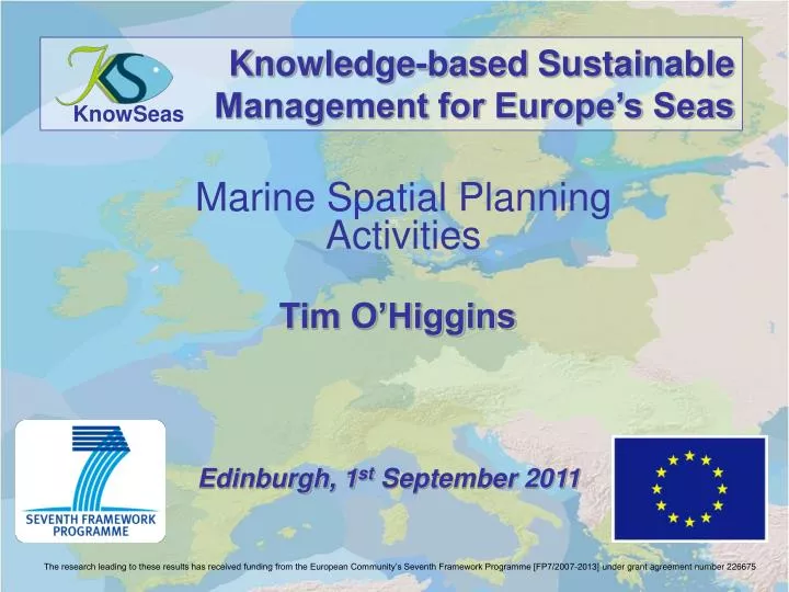
Knowledge-based Sustainable Management for Europe’s Seas. KnowSeas. Tim O’Higgins. Marine Spatial Planning Activities. Edinburgh, 1 st September 2011.

E N D
Knowledge-based Sustainable Management for Europe’s Seas KnowSeas Tim O’Higgins Marine Spatial Planning Activities Edinburgh, 1st September 2011 The research leading to these results has received funding from the European Community’s Seventh Framework Programme [FP7/2007-2013] under grant agreement number 226675
Overall objective A comprehensive scientific knowledge base and practical guidance for the application of the Ecosystem Approach to the sustainable development of Europe’s regional seas. Image from: www.gstaadlife.com/
EEZ MSFD WFD
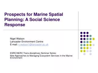
Atlantic Atm Dep UK2 GM NL2 UK1 NL1 Channel BE FR WP3 - Causes and Consequences of Ecosystem Change • Ecopath • Bayesian Belief Networks (BBNs) • Deterministic The Delft3D-GEM grid showing the river inputs (blue), Channel inputs (purple) andatmospheric inputs (red).
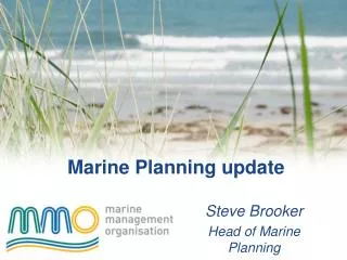
BBNs ELME Scenarios NW Black Sea conceptual model NW Black Sea BBN Scenario outcomes
FISHERIES ECONOMICS DATABASE Spatially explicit Fishing catches and values (€) Year ICES box Country Species
Fisheries subsidy data by NUTS LEVEL 3 FISHERIES DEPENDECY RATIO FISHERIES EMPLOYMENT RATIO
FISHING VALUES By Gear type based on VMS data UK Only
WP6 - Assessment Toolbox COnflict REsolution (CORE) Tool GIS-Seas Tool Enhancing Stakeholder CApacity (ESCA) Tool DEcision MAking (DEMA) Tool
COnflict Resolution (CORE) Tool Mull of Kintyre tidal energy study
GeoNetwork http://gis.socib.es/geonetwork/srv/en/main.home
GeoServer http://gis.socib.es/esicostes/
http://gis.socib.es/geoserver/web/?wicket:bookmarkablePage =:org.geoserver.web.demo.MapPreviewPage
BALTIC SEA DOGGER BANK WIND FARMS FISHERIES GULF OF FINLAND MINGULAY REEF CAMPBELLTOWN TIDAL ENERGY EUTROPHICATION SOUTHERN NORTH SEA EUTROPHICATION FISHERIES NW SHELF NORTHERN ADRIATIC TOP PREDATORS RAPANA MANAGEMENT DILEMMA GULF OF LIONS MEDITERRANEAN MERCURY/INVASIVES