Download
1 / 16
160 likes | 237 Views
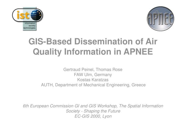
GIS-Based Dissemination of Air Quality Information in APNEE Gertraud Peinel, Thomas Rose FAW Ulm, Germany Kostas Karatzas AUTH, Department of Mechanical Engineering, Greece 6th European Commission GI and GIS Workshop, The Spatial Information Society - Shaping the Future EC-GIS 2000, Lyon.

E N D
GIS-Based Dissemination of Air Quality Information in APNEEGertraud Peinel, Thomas RoseFAW Ulm, GermanyKostas Karatzas AUTH, Department of Mechanical Engineering, Greece6th European Commission GI and GIS Workshop, The Spatial Information Society - Shaping the FutureEC-GIS 2000, Lyon
Project APNEECo-ordinates • Air Pollution Network for Early warning and on-line information Exchange in EuropeIST-1999-11517 • 5th Framework Programme - IST • Key Action 1: Systems and services for the citizen • Environment • 1/2000 - 12/2001 • Co-ordinators • Financial - Administrative, Technical: FAW Ulm, Germany • Scientific Co-ordinator: NILU: Norwegian Air Research Institute, Norway
Aim • APNEE will • provide an interface to air pollution management systems and will characterise dedicated information to affected groups of citizens. • strives to develop a technical umbrella for the distribution and customisation of existing air quality management systems. • develop a harmonised classification schema for a uniform categorisation of environmental data and further develop forecasting methods and will use operational versions of the most used air quality forecasting models. • serve EU-directives on information services for citizens about health threatening air pollution states.
Technology and Functionalities • Technology/Interfaces • Web GIS • Street Panels • Mobiles • Voice Mail • Email • Functionalities • Air Pollution Visualisation • Early Warning • Forecasting • Discussion Groups, Bulletin Boards....
Functions I • General Functions • Access to additional information (e.g. historical data, European directives, forecasting information) • Online air information from user • Link list • Administration • APNEE feedback • Subscribing to push services • Bulletin, Newsletter, Discussion group • Daily bulletin for air quality on key spots urban areas • Daily forecasting bulletin • ATMO bulletin • Early Warning • Alert message when level is up to given country specific and EC or local authorities legislative threshold with advises adapted to the different target citizens
Functions II • Online Info • Pollutant values measured at a measurement station • Actual pollutant values, air pollution index calculated for a measurement station • Interpolation in real time on hours values base - Dynamic changes (animation) • Level of different pollutants, level of air pollution index • Forecasting • Level of different pollutants, Level of air pollution index • Accuracy Concept for Measurements and Modelling • SMS messages will be sent to local experts to check systems, results and modelling • Thermal comfort, traffic conditions, medical advises, representation of multimedia files, e.g. images, video, audio • Pollutant transport assessment capability • Mapping functionalities • Display and selection of different information layers • Panning, Zooming • Display of longitude/latitude and zooming factor • Representation of measurement values in bar charts, pie charts and graphs • Representation of geographical themes related to air pollution
Functions III • User Interaction (mainly WebGIS) • Selection of predefined forecasting simulations on different pollutants • Query functionalities, e.g. ”Find all stations where level of O3 > given country specific threshold” • Display of sensitive areas on mouse-over • Launching popup-windows • Presentation of new information layers, e.g. defining deviations for trucks and cars • Sensitive areas - smart maps
APNEE Services Display: simply display of information, frequently updates Push Service: "push" content to interested persons who subscribe to such a service on timely or event specific basis Pull Service: interested persons request information on demand, information will be returned on this request immediately by sending information Interaction: similar to pull service but direct user interaction for refinement of requests or parameterised requests possible
Interface to Local Air Quality Management System APNEE DB System APNEE NetProvider Interface Mobile phone SMS Mobile phone WAP Mobile phone Voice Multi-media Electronic panels Local Website:GIS, graphs, tables, info and links APNEE Draft Architecture
WAP/ WML CGI/ WebServer/ WAP Server WebGIS Existing air quality information systems GIS Street Panel Cron DB SMS Watcher/ Trigger Email Export Voice Server Phone Interfaces APNEE Components
GIS-based Information Access • Simulation and forecasting • access to region-specific data • fossile usages for home heating • traffic peaks • Classification • regional alerts • regions of comfort • recommendations to pass-by regions • Dissemination • available communication channels • affected people • GIS as anchor point in the information infrastructure
Contact • FAW Ulm, Germany • Thomas Rose (Thomas.Rose@faw.uni-ulm.de) • Gertraud Peinel (Gertraud.Peinel@faw.uni-ulm.de) • NILU, Norway • Trond Bøhler (Trond.Bohler@nilu.no) • WWW: http://www.faw.uni-ulm.de/apnee