Download
1 / 9
90 likes | 262 Views
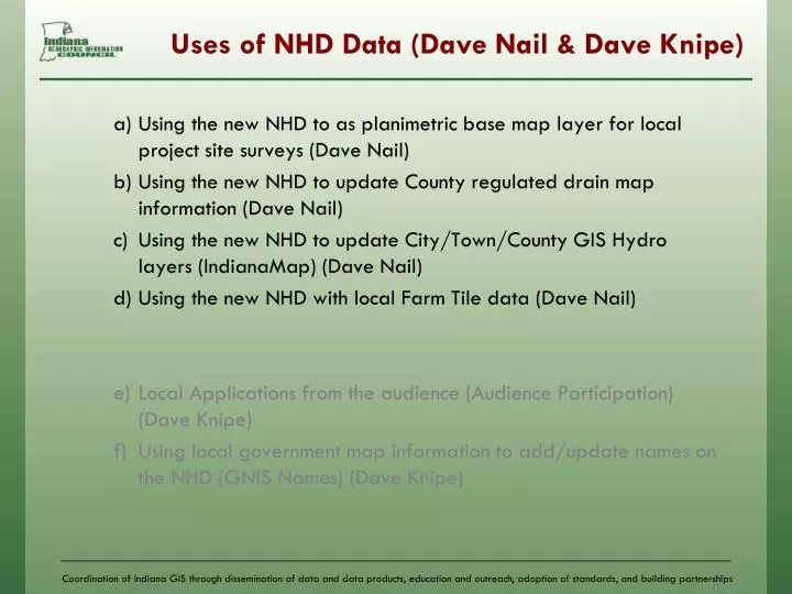
Uses of NHD Data (Dave Nail & Dave Knipe). a) Using the new NHD to as planimetric base map layer for local project site surveys (Dave Nail) b) Using the new NHD to update County regulated drain map information (Dave Nail)

E N D
Uses of NHD Data (Dave Nail & Dave Knipe) a) Using the new NHD to as planimetric base map layer for local project site surveys (Dave Nail) b) Using the new NHD to update County regulated drain map information (Dave Nail) c) Using the new NHD to update City/Town/County GIS Hydro layers (IndianaMap) (Dave Nail) d) Using the new NHD with local Farm Tile data (Dave Nail) e) Local Applications from the audience (Audience Participation) (Dave Knipe) f) Using local government map information to add/update names on the NHD (GNIS Names) (Dave Knipe)
Uses of NHD Data • Use the NHD as the hydro layer for planimetric base maps: • Project site surveys • City/Town/County maps
Uses of NHD Data To Update County regulated Drains? To use with Farm Tiles?
Uses of NHD Data USGS NHD drains Kosciusko County GIS Hydro drains Density and Geometry Differences
Uses of NHD Data To Update County regulated Drains? To use with Farm Tiles? Drain Names c c Mishler Ditch Confluence Locations Mary Koontz
Uses of NHD Data To Update County regulated Drains? To use with Farm Tiles? Drain Names No Name Brown Arm of Mary Koontz
Uses of NHD Data (Dave Knipe) a) Using the new NHD to as planimetric base map layer for local project site surveys (Dave Nail) b) Using the new NHD to update County regulated drain map information (Dave Nail) c) Using the new NHD to update City/Town/County GIS Hydro layers (IndianaMap) (Dave Nail) d) Using the new NHD with local Farm Tile data (Dave Nail) e) Local Applications from the audience (Audience Participation) f) Using local government map information to add/update names on the NHD (GNIS Names)
Add GNIS Names to the Local-Res NHD High-Res in RED Local-Res in BLUE Only High-Res Currently has GNIS Names Assigned
Add GNIS Names to the Local-Res NHD High Res / RED Local / YELLOW Only High-Res Currently has GNIS Names Assigned