Download
1 / 12
120 likes | 264 Views
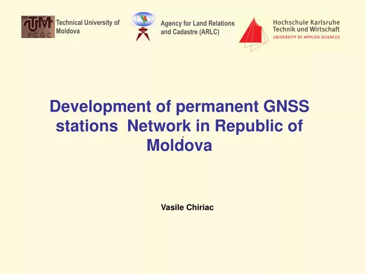
Technical University of Moldova. Agency for Land Relations and Cadastre (ARLC). Development of permanent GNSS stations Network in Republic of Moldova. Vasile Chiriac. Subjects. Geodetic Infrastructure in Moldova Reference Systems and map projections The National Geodetic Network

E N D
Technical University of Moldova Agency for Land Relations and Cadastre (ARLC) Development of permanent GNSS stations Network in Republic of Moldova Vasile Chiriac
Subjects • Geodetic Infrastructure in Moldova • Reference Systems and map projections • The National Geodetic Network • The National Leveling Network • The National Gravity Network • GNSS Network Concept • GNSS Network design • MOLDPOS Architecture • MOLDPOS RTK/VRS Network • Integration with EPN • Conclusions
Geodetic Infrastructure in Moldova Reference Systems and Map Projections Vertical reference system: Baltic Sea 1977 ITRS 97 ETRS 89 SC 42 WGS 84 Ellipsoids Krasowsky WGS84 GRS80 Map projections Gauss Kruger Gauss Kruger UTM TMM 6 zone 1: 25 000 – 1.500 000 MOLDREF99 1:500 - 1: 10 000 6 zone 1: 10 000 – 1.500 000 3 zone 1: 500 – 1:10 000
OTACI UNGHENI CHELTUITORUL NOU PALANCA GIURGIULESTI Geodetic Infrastructure in Moldova The National Geodetic Network GPS measurements EUREF sites (5) first-order sites (78) second-order sites (400)
Geodetic Infrastructure in Moldova The National Leveling Network • Reconstruction and integration in ULEN • 1st polygon (350 km) closed in 2008 • 2nd polygon (429 km) performed 202 km in 2009 • 3rd polygon (116 km) performed 30km in 2008 • 4th polygon (267 km) to be performed in 2010-2011 4699 8712 1652 356 1 38 231 96 244 3 2 2586 336 5128 4875 L E G E N D 3554 4 1-st order leveling 2-nd order leveling 8138
Geodetic Infrastructure in Moldova The National Gravity Network • 3 absolute gravity stations (2006) with RMS < 5 Gal • 17 first order gravity stations (2006) with RMS < 10 Gal • 112 second order gravity stations (2007-2008) with RMS < 20 Gal • 271 third order gravity network performed (2008-2009) with RMS < 40 Gal • 1511 third order gravity network to be performed (2010-2011) • Total: 2012 gravity stations (4x4 km) BRICENI Legend: CHISINAU Absolute gravity sites 1st order gravity sites 2nd order gravity sites 3rd order gravity sites GIURGIULESTI
OTACI UNGHENI CHELTUITORUL NOU PALANCA GIURGIULESTI GNSS “passive” network (1999-2002) GNSS Permanent Network Concept GNSS Network design GNSS “active” network (2010-2011) IGEO Legend Legend MOLDPOS/RTK GNSS permanent stations ROMPOS/RTK GNSS permanent stations MOLDPOS/GEO and ROMPOS/GEO GNSS permanent stations 0 order (EUREF) 0 order (5 EUREF stations) 1st order (78stations) 1st order (78stations) 2nd order (400 staţions) 2nd order (400 staţions)
MOLDPOS architecture GNSS Permanent Network Concept Control Center Distribution CORS stations Post processing data FTP/WWW server MOLDPOS Server Data Server Raw data GPS NAVSTAR/GLONASS Raw data Corrections Geodetic Data base Real time applications GSM router GALILEO Corrections • Distribution of real-time data streams through Internet using NTRIP (Network Transport of RTCM by Internet Protocol) format.
MOLDPOS functionality GNSS Permanent Network Concept RTCM server NMEA Position message MOLDPOSdata RTCM MOLDPOS server Geodetic data base (transformations parameters, map projections, quasigeoid model, etc) RTCM ROVER NMEA Position message GSM-modem GNSS-receiver VRS, FKP, MAC
Integration with EPN GNSS Permanent Network Concept Starting from August 2007 the Agency of Land Relations and Cadastre in collaboration with BKG installed and jointly operate a GNSS permanent tracking station IGEO (Chisinau) integrated into EPN and will be integrated in MOLDPOS IGEO
GNSS Permanent Network Concept Conclusions • Densification with the ~ 70 km spacing requires that at least 13 permanent operating GNSS stations to be installed in order to provide the differential GNSS for navigation and real time kinematics for surveying • The Geodetic Data Base to be created for MOLDPOS service to generate and distribute differential corrections, transformation parameters and height anomalies from the national quasigeoid model • MOLDPOS will be used by a large spectrum of users (geodetic works, cadastral surveying, GIS applications, mapping and boundary marking, etc.) • MOLDPOS will be the basis of support of scientific applications (landslide and floods monitoring, environmental research, geohazard prediction, meteorology, etc.)
Technical University of Moldova Agency for Land Relations and Cadastre (ARLC) Thanks for attention Contact: As. Prof. Dr. Vasile ChiriacDepartment of Geodesy, Cadastre and GeotechnicsTechnical University of Moldova168, Stefan Cel Mare streetMD 2005 ChisinauTel: +373 22 26 10 45 Fax: +373 22 26 10 44 Mob: +373 69 295 057 Email: v_chiriac@hotmail.comURL: www.utm.md