Download
1 / 26
390 likes | 862 Views
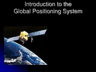
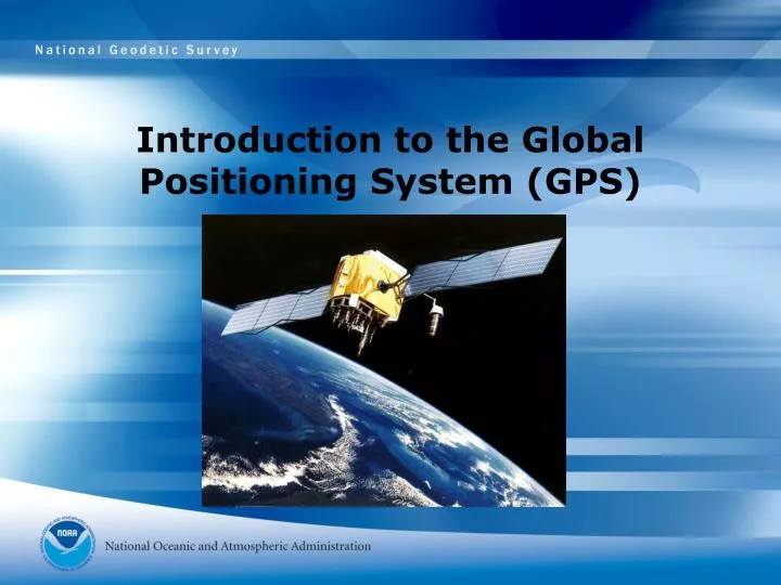
Introduction to the Global Positioning System (GPS). Introduction to the Global Positioning System (GPS). Geodesy & GPS for Dummies Session III: National Science Teachers Association 2007 Annual Conference St. Louis, MO March 31, 2007 Casey Brennan. Learning Outcomes.

E N D
Introduction to the Global Positioning System (GPS) Geodesy & GPS for Dummies Session III: National Science Teachers Association 2007 Annual Conference St. Louis, MO March 31, 2007 Casey Brennan
Learning Outcomes • Participants will be able to describe the basics of GPS. • Participants will be able to describe the method GPS uses to calculate your position. • Participants will be able to list at least three ways that GPS is important to your daily life.
Overview • Part 1: A brief history of positioning • Part 2: GPS 101 • Part 3: The amazing new world of precise positioning
Where are we? • What is positioning and what is surveying? • Positioning in the USA (zero meridian)
The Importance of Time • Time has been the limiting factor for a lot of science, including the science of positioning • Ships and clocks (John Harrison and the 18th Century) • Better accuracy requires better clocks John Harrison 1693-1776
The Technological Revolution • Satellites • Atomic clocks • Microchips and calculators • Radio Beacons and other transitions from astro methods to modern methods. Ground based systems
Very Long Baseline Interferometry • The precursor to GPS • Quasars and dishes
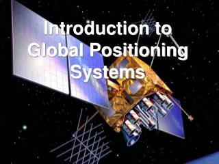
The Launch of GPS • DOD sponsored project puts satellites into orbit • First Sat launched in 1978 • 24 Sats by mid 1990s • 28 Currently in orbit, with more coming • A fundamental change in how positioning is done • What GPS has changed?
The GPS Receiver • Who has a GPS Receiver? • What the receiver does • What the receiver does NOT
Basic Trilateration • D=RxT • Rate is Speed of light • Time is the key! Technology made it possible • One you have distance, its “easy”
y GPS positioning simplified to two dimensions x
How a GPS receiver works • Find the satellites • Know where the satellites are • Figure out D=RxT • Trilaterate • Repeat, repeat, repeat
The limitations of GPS • Must be able to “see” the satellites • Requires power • Multiple sources of error
Sources of Error in GPS • Multipathing • Atmospheric Delays • PDOP • Clocks • Orbits • Receiver electronics • Relativity • Geoid models and other really techie stuff
PDOP (Position Dilution of Precision) or “Why the distribution of GPS satellites in the sky affects how well I know where I am” (Simplified to a 2-dimensional model) x
PDOP (Position Dilution of Precision) or “Why the distribution of GPS satellites in the sky affects how well I know where I am” (Simplified to a 2-dimensional model) x
PDOP (Position Dilution of Precision) or “Why the distribution of GPS satellites in the sky affects how well I know where I am” (Simplified to a 2-dimensional model) Blue/Yellow have “good geometry” so the (green) error box around “x” is small (PDOP is small) Red/Yellow have “bad geometry” so the (orange) error box around “x” is large (PDOP is large) x
Just how accurate can we get? • Consumer Grade GPS • Survey Grade GPS • Use of two receivers instead of just one (CORS)
Some amazing things to do with GPS • Earth Tides • Measuring subsidence • Track the moving earth • Post Glacial Rebound • Geocaching • Emergency Rescue
Conclusion and discussion • GPS completely changed positioning forever • GPS will continue to improve