Download
1 / 25
250 likes | 514 Views
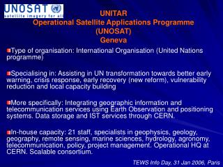
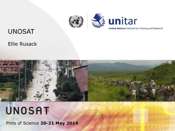
UNOSAT Ellie Rusack. Pints of Science 20-21 May 2014. What is UNOSAT?. 2. Operational Satellite Applications Programme of the United Nations Institute for Training and Research (UNITAR)

E N D
UNOSAT EllieRusack Pints of Science 20-21 May 2014
What is UNOSAT? 2 • Operational Satellite Applications Programme of the United Nations Institute for Training and Research (UNITAR) • Goal: to make satellite derived geospatial information, integrated systems (GIS, navigation, and geo-positioning), and knowledge transfer easily accessible to the UN, local governments, international organizations and NGOs who work at reducing the impact of crises and disasters.
Operational Uncertainty in context of Humanitarian Operations “Fog of Disaster” - Early stages of major disasters are characterized by limited, incomplete and often contradictory information related to: • Geographic extent of affected area(s) • Numbers & Locations of casualties and population at-risk • Damages to housing, infrastructure, transport facilities • Capacity and response of local/national authorities • Capacity and coordination of Int. humanitarian actors (3Ws Who Does What Where) Operational uncertainty highest in early disaster response stage Source: AustralianDevelopment Gateway
Humanitarian Rapid Mapping UNOSAT is the main implementing agency within the UN for the International Charter “Space and Major Disasters” Mandated by UN to provide satellite imagery-based products and services in support of the international humanitarian operations (UN, IASC, NGOs and other humanitarian agencies) Technical team (scalable, normally 6-10 professionals) Image analysts, GIS-experts, cartographers, geophysicists, agronomists, meteorologists Operational 24/7 Operational office in Geneva (CERN) 5
How does UNOSAT make use of satellites? 1. Activation / Request to International Charter 3. UNOSAT Staff analyze satellite data 2. Satellites collect data over area of interest 4. UNOSAT Staff Produce maps, reports & databases to support humanitarian operations and post disaster recovery Caprivi, Namibia Port-Au-Prince, Haiti Bihar, India Mogadishu, Somalia
7 • UNOSAT Video
Limitations of satellite imagery • Limitations of satellite imagery • Angle of view only from above • Sometimes hard to get clear data • Weather Satellites can’t see what is happening on the ground Credits: Huda.Sy http://www.panoramio.com/user/7127417
Geotag-X ? • Harvest media (photos, videos, audio) coming out of a disaster • Analyse media to produce structured and relevant data of what is happening on the ground • Share knowledge of experts with crowd to perform analysis Source: National Geographic
What is a disaster for Geotag-X ? • “Fast moving” emergency – eg flooding, earthquakes etc • “Slow moving” emergencies – eg drought, pollution, climate change related ThailandFloods 2011. Source: UN-ASIGN DroughtNamibia/Angola. Source: Lutheran World Federation/MairoRetief
Where do we get the media for Geotag-X ? • Tools increasingly available and accessible • Smartphones, apps etc • Eg – Haiti, Syria, Thailand
Workflow and tools for analysis of media • Expert volunteers Applications/ Tutorials Structured/relevant data • Field experience/ surveys • Analysis • Volunteers Media Firefox plugin • Disaster managers, NGO’s, UN etc
Expert Volunteers • Experts (professionals, academics etc) in relevant topics • What data can they extract from media? • Develop structured analysis and tutorials • Analysis translated into applications on Geotag-X • Currently working with experts in: • sociology, • environmental health, • human ecology, • agriculture, • disaster response.
Tools for analysis of media – Geotag-X (PyBossa) and Firefox • Expert volunteers Applications/ Tutorials Structured/relevant data • Field experience/ surveys • Analysis • Volunteers Media Firefox plugin • Disaster managers, NGO’s, UN etc
Workflow and tools for analysis of media • Expert volunteers Applications/ Tutorials Structured/relevant data • Field experience/ surveys • Analysis • Volunteers Media Firefox plugin • Disaster managers, NGO’s, UN etc Source: National Geographic
Relevant, Structured Datasets • Applications linked with questions from field assessments • Geotagged (as best as possible) • Results as JSON, accessible via API (thanks to PyBossa) • Used by UNOSAT to complement/verify satellite analyses, available to other organisations • How to standardise results to make accessible across different organisations (HXML?)
Citizen Cyberlab: Possible limitations • How much useful info is available in media? • How much media?availability of bandwidth in disaster area, how quickly disseminated? • Who will be involved, who can be an expert? Will experts want to be involved? • What can we expect of the crowd? • What issues can be suitably addressed with these tools? ThailandFloods 2011. Source: UN-ASIGN