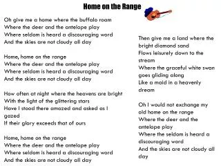
Download
1 / 75
760 likes | 916 Views
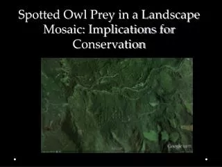
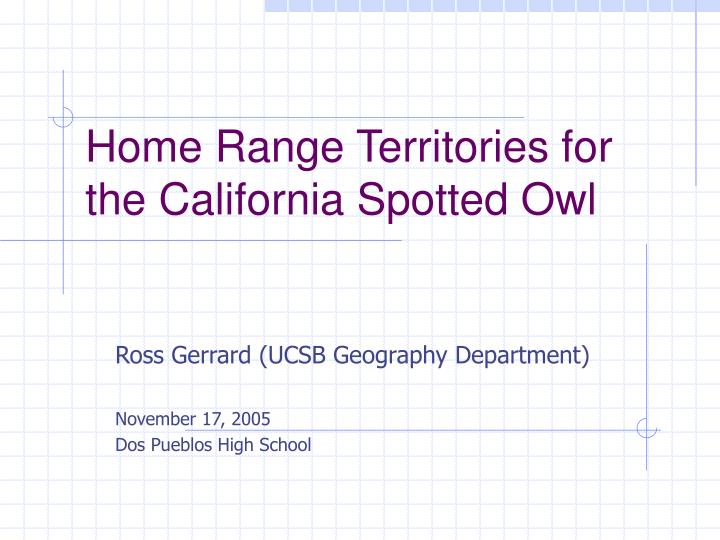
Home Range Territories for the California Spotted Owl. Ross Gerrard (UCSB Geography Department) November 17, 2005 Dos Pueblos High School. Modern Geography. Somewhat difficult to define Cuts across many disciplines Divides usually into Physical geography (earth sciences)

E N D
Home Range Territories for the California Spotted Owl Ross Gerrard (UCSB Geography Department) November 17, 2005 Dos Pueblos High School
Modern Geography • Somewhat difficult to define • Cuts across many disciplines • Divides usually into • Physical geography (earth sciences) • Socio-economic geography • Fundamentally inquires about the spatial properties of a problem or system
Geography as Engineering? • Design of (Spatial) Systems • Siting public facilities within a city (e.g. fire stations, ambulance) • Planning for school attendance boundaries • Forest planning – where to cut vs. where not to cut in order to meet environmental constraints
GIS – Geographic Information . . . • Systems or Science? • GISystems – database for spatially referenced data • GIScience • Attempts to improve problem solving and understanding • A main frontier in modern Geography
What does this have to do with Biology? • Land is a fundamental resource • How should it be allocated to competing uses? • One “use” is conservation of species • Can mathematical modeling, supported by mapping, help us to address this problem?
Broad Issue: Defining land units for planning and management • Usually, units are given and fixed • Grid squares or cells • EPA hexagons • County boundaries • Standard for many applications
CONSTRUCTING spatial units • Has received little attention • Some applications can really benefit • Conservation planning • Units purpose-built for needs of a particular species • A unit is constructed from many small “atomic units” such as cells • On a cell-based GIS layer, aggregate cells into a “region” or “patch”
Constructing spatial units • Building patches a GIScience problem, NOT a GISystems problem • Not found in commercial packages • “Growth” approach (undertaken here) • Brookes (1997) • Church, Gerrard, Gilpin, Stine (2003) • Formal models exist (limited)
Basic Process • Cell-based map that values the landscape for a particular activity • e.g., habitat suitability • created/stored/managed in GISystems • Begin with a starting cell or small area and aggregate cells until a region of desired value/size/compactness is created
Final Product A compromise between highest total value and shape Value lower higher lower higher Compactness
CASPO (Calif. Spotted Owl) • Not listed under U.S. Endangered Species Act but is still considered a species of concern by the U.S. Forest Service • Subject of extensive monitoring and and data collection effort for last 15-20 years, and ongoing • Figures prominently in new umbrella plan for management of National Forests in the Sierra Nevada (SNFPA)
CASPO (Calif. Spotted Owl) • Land management units are defined for the CASPO by the Forest Service: • PACs (Protected Activity Centers) = "Best available 300 acres of habitat in as compact a unit as possible“ (surrounding the nest site). • AC = Activity Center (basically the nest site, or suspected nest site) & 18 surrounding acres in immediate vicinity. • “Home Range Cores” – larger area (foraging). • 600-1200 acres
FS Technique for defining a PAC • Best human judgment off an aerial photo • Not a repeatable and maybe not a very defensible procedure • Many PAC definitions are outdated • No easy facility for update • Can't derive substitutes easily • Doesn't provide a metric to estimate the impact on the owl of any particular treatment action.
Modeling the Basic Management Unit (the PAC) • Need suitability estimates • Dense cover • Attraction to streams in some areas • Relied on CWHR (Calif. Wildlife Habitat Relationships) • Scores of –4 to 10 • Example of a 10 would be White Fir in CWHR class 6 (dense forest with multi-layered canopy).
CASPO Suitability from CWHR • Other CWHR examples of habitat (PAC) value scores: • Ponderosa Pine 5M = 4 • Annual grassland, water is lowest, = -4 • Ponderosa Pine 5D = 7 • Sierran Mixed Conifer 5M = 8 • Sierran Mixed Conifer 5D = 10
Modeling the Basic Management Unit (the PAC) • Forest types mapped at 30-meter cell resolution (900 sq. meters in area). • Suitability score attached to each cell.
Use Suitabilities to build PACs • Start from a seed cell (or desired fixed area) • Immediately take in the Activity Center • Accept good cells on the perimeter, yielding an enlarged patch. (e.g. top 8%) • Check the new perimeter for good cells and accept those • Continue until patch constitutes 300 acres. • Slight random component.
Alternatives generation(Most suitable PAC vs. most compact) Good cells to add on the perimeter are rated in terms of combined PAC suitability & shape score. Weight can be used to promote a more compact shape rather than cherry-picking the best habitat. "the best 300 acres of habitat in as compact a unit as possible" (Sierra Nevada Forest Plan Amendment, Final SEIS, ROD (2004), p37).
Iteration 165 – FINISHED (6036 points) User-defined parameters can generate alternative PAC definitions.
Comparing FS PACs and Generated PACs • 30 seeds (nest sites) in Kings River area • 3 different generated PACs (each exactly 300 acres) • Comparison to single fixed FS PAC • Comparison of total suitability value
Why the differences? • FS technique based on viewing aerial photography • Perhaps based on multiple points rather than single nest site. • FS only considers public land • Could have been putting more value on topography.
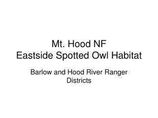
Must be able to consider complications due to ownership and topography • Must stay on National Forest lands • Makes sense to keep a PAC within a watershed • Modified patch generation code . . .
9504 12979 Consider watershed vs. not