Download
1 / 34
340 likes | 489 Views
EUMETSAT POLAR SYSTEM. Introduction to EPS. Introduction to EPS. S eries of three Meteorological O perational (Metop) satellites EPS program will take 14 years Metop satellites will provide more precise details about atmospheric temperature and moisture profiles. Introduction to EPS.

E N D
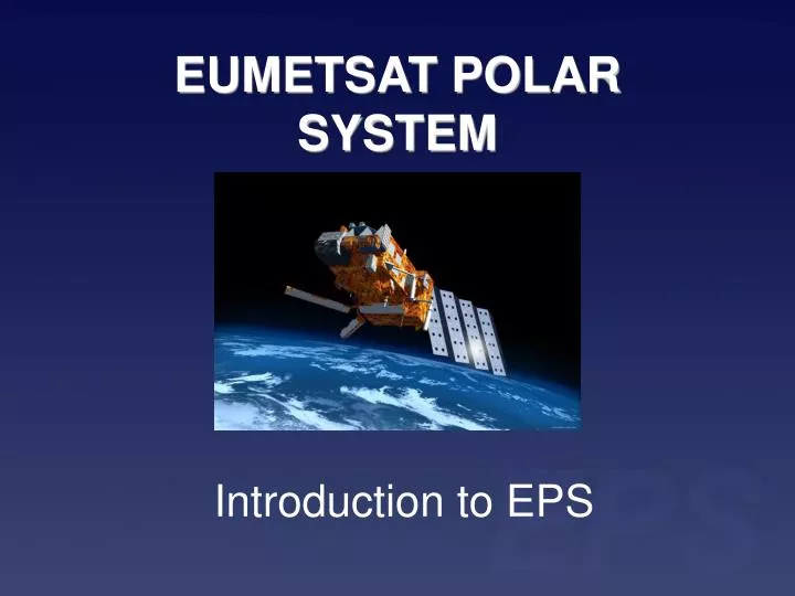
EUMETSAT POLAR SYSTEM Introduction to EPS
Introduction to EPS • Series of three Meteorological Operational (Metop) satellites • EPS program will take 14 years • Metop satellites will provide more precise details about atmospheric temperature and moisture profiles
Introduction to EPS • European contribution to polar satellite system called the Initial Joint Polar System (IJPS) • EUMETSAT will have the operational responsibility for the morning (local time) orbit with the Metop satellites • US counterpart, with their NOAA-satellites will cover the afternoon orbits • Data retrieved from Metop and NOAA will be processed, exchanged and shared by both EUMETSAT and NOAA
Introduction to EPS • The first launch, which will be the launch of Metop-2, is planned for the second quarter of 2006. • In orbit the first satellite will be called Metop-A in operation
Introduction to EPS • The Metop satellites will ensure continuity, improvement and availability of operational meteorological observations • Provide Europe with an enhanced capability for the routine observation of the Earth from Space • Increase Europe's capability for long-term Earth climate monitoring
Introduction to EPS Operational meteorology • Temperature and moisture sounding for NWP • All weather capability • Troposphere, stratosphere, and troposphere/stratosphere interactions • Imagery of clouds and land/ocean surfaces • Air-sea interactions
Introduction to EPS Climatology • Monitor global atmospheric temperatures and humidity data • Monitor the seasonal variations in ozone and track any developments • Provide data for vegetation indices • Mapping of snow and ice cover • Monitor the ocean as key indicator of climate changes
Introduction to EPS Additional EPS missions • Space Environmental Monitoring (SEM) • Humanitarian service (Search and Rescue)
Space Segment • The Metop polar orbit is sun-synchronous • Minimum altitude of 822 km. • Global coverage twice per day • The time to complete an orbit is about 101 minutes • During each orbit the Earth rotates approximately 25°
Payload • Eight instruments for observing the planet • Core set of instruments will be identical to NOAA (AVHRR + ATOVS) • Additional instruments to improve atmospheric soundingsandto provide measurements of atmospheric ozone and near-surface winds over the ocean.
AMSU-A AMSU-A (Advanced Microwave Sounding Unit-A): measures the temperature and moisture of the global atmosphere in nearly all weather conditions, sea ice. Part of the ATOVS suite.
AMSU-A NOAA-15: AMSU-A 89 GHz. channel can see through most cloud and observe surface NOAA-16: Total precipitable water
MHS MHS (Microwave Humidity Sounder): Measures the humidity of the global atmosphere. Part of the ATOVS suite.
MHS Actual data from the MHS instrument is not yet available, as this instrument has yet to be flown in space. However, the AMSU-B instrument, an instrument similar to the MHS but operating with a different set of channel frequencies, has previously flown on NOAA satellites.The graphics here have been derived from actual AMSU-B in-flight data at 89 GHz. The MHS datawill be very similar. NOAA-17: AMSU-B 89 GHz. channel cansee through most cloud and observe surface NOAA-16: AMSU-B 89 GHz.
HIRS HIRS/4 (High Resolution Infrared Radiation Sounder): Global sounding of the temperature and humidity of the global atmosphere in cloud-free or partly cloudy conditions, atmospheric minor constituents. Part of the ATOVS suite.
HIRS The data is used to determine ocean surface temperatures, total atmospheric ozone levels, precipitable water, cloud height and coverage, and surface radiance.In combination with data from the Advanced Very High Resolution Radiometer (AVHRR) the microwave instrument can be used to calculate the atmosphere's vertical temperature profile from the Earth's surface to about 40 km (24.85mi) altitude. Global atmospheric temperature data from HIRS channel 6 on the NOAA 14 satellite
ASCAT ASCAT (Advanced scatterometer): Provides near-surface wind speed and direction over global oceans, sea ice coverage, soil moisture.
ASCAT Example of the European Remote Sensing satellite (ERS-2) scatterometer. It shows Cyclone Sam off the Northern coast of Australia on 4 December 2000.
ASCAT Land applicationsThe graphic shows a map of the plant-available-water for Africa for the month of January. Blue and brown areas indicate high and low water concentrations respectively. Ice monitoring The graphic shows a large iceberg discovered to be adrift in the Drake passage (between Antarctica and Tierra del Fuego).
AVHRR AVHRR/3 (Advanced Very High Resolution Radiometer): Global sounding, global visible, near infrared and infrared imagery of clouds, of the ocean (SST), Earth radiation measurements, land surface measurements.
AVHRR Sea surface temperature products are produced routinely from the AVHRR instrument at global, regional, local, and coastal coverage. This image is an example of a global product produced at 50 km resolution, available twice weekly, from NOAA-14 on December 21,
AVHRR A strong heat signature (red) and an ash plume (blue haze extending from hot spot) associated with eruptions of the Mount Etna volcano in northeastern Sicily. Lava had been fountaining and flowing down the west flank of the mountain in irregular intervals over six days. Hot spots in mainland Italy were associated with wildfires.
AVHRR Vegetation condition products are generated from the AVHRR instrument. The red color delineates the areas with severe vegetation stress; the colors from yellow to blue indicate fair to favorable conditions. These images compare the vegetation health conditions from 1999 (top) to 1998 (bottom).
IASI IASI (Infrared Atmospheric Sounding Interferometer). Hyperspectral and high vertical resolution global sounding of temperature and moisture, ocean measurements (SST), clouds and Earth radiation budget, ozone and atmospheric minor constituents, land measurements.
GOME-2 GOME-2 (Global Ozone Monitoring Experiment): Provides profiles and total column measurements of ozone and other atmospheric constituents.
GOME-2 Measured geophysical products of GOME-2
GOME-2 Scan track
GRAS GRAS (GPS Receiver for Atmospheric Sounding): Atmospheric refractive index measurements. Provides profiles of the temperature of the upper troposphere and in the stratosphere with high vertical resolution, and humidity in the troposphere.
Architecture • Dimensions (deployed configuration without solar array) • Height: 7.6 m (299.21 in) • Length: 6.8 m (267.7 in) • Width: 3.7 m (145.67 in) • Mass (at launch) 4500 kg (9922.5 lbs) • Solar Array and Instruments • Solar array length: 11.3 m (37 ft) • Solar Array Output Power (End of Life): 3900 W • Instrument Mass: 840 kg (1852.5 lbs) • Instrument Power: 980 W
Communication • The Metop satellite will transmit/ communicate with the ground segment facilities by means of four links: • Global data storage and dump in X-Band • HRPT continuous data broadcast in L-Band • LRPT continuous data broadcast in VHF • TT&C uplink and downlink in S-Band EUMETSAT has selected a site on Spitsbergen, a Svalbard island within the arctic circle as the site for the receival of data from MetOp
Ground Segment • The OGS consists of three primary groupings: • The Core Ground Segment (CGS) • Complementary OGS facilities • OGS Support Infrastructure
Services • Products and Support Services • for Metop and NOAA • Level 0 Products: SEM • Level 1 Products Services: ASCAT, AVHRR/3, AMSU-A, HIRS/4, MHS, IASI, GOME-2, GRAS • Level 2 Products Services: ASCAT, ATOVS, IASI, GOME-2, GRAS • Level 3 Products Services: Various products. These services will be performed by the Satellite Application Facilities (SAFs)
EPS Images provided in this presentation are under courtesy of EUMETSAT and ESA. Contact information:jarno.schipper@zamg.ac.at