Download
1 / 28
300 likes | 661 Views
The Causes of Urban Expansion. Stephen Sheppard Shlomo Angel Daniel L. Civco Williams College New York University University of Connecticut Support from the World Bank Research Committee and the US National Science Foundation (SES-0433278) is gratefully acknowledged. Urban Expansion.

E N D
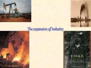
The Causes of Urban Expansion Stephen Sheppard Shlomo Angel Daniel L. Civco Williams College New York University University of Connecticut Support from the World Bank Research Committee and the US National Science Foundation (SES-0433278) is gratefully acknowledged
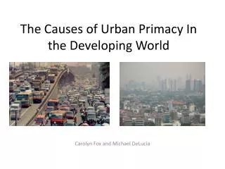
Urban Expansion • Urban expansion taking place world wide • Rich • Evolving from transportation choices - “car culture” • Failure of planning system? • Poor • Rural to urban migration • Urban bias? • Seen as posing a variety of policy challenges • Environmental impact from transportation • Loss of farmland? • Preservation of open space • Pressure for housing and infrastructure provision • Policy response • Land use planning • Public transport subsidies & private transport taxes • Rural development • Surprisingly few global studies of this global phenomenon • Limited data availability
Data • To address the lack of data, we construct a sample of urban areas • The sample is representative of the global urban population in cities with population over 100,000 • Random sub-sample of UN Habitat sample • Stratified by region, city size and income level
Remote Sensing The relative brightness in different portions of the spectrum identify different types of ground cover. Satellite (Landsat TM) data measure – for pixels that are 28.5 meters on each side – reflectance in different frequency bands
Measuring Urban Land Use 1986 • Contrasting Approaches: • Open space within the urban area • Development at the urban periphery • Fragmented nature of development • Roadways in “rural” areas 2000 EarthSat Geocover Our Analysis
Data will be available for download www.williams.edu/Economics/UrbanGrowth/HomePage.htm
Modeling urban land use • Households: • L households • Income y • Preferences v(c,q) • composite good c • housing q. • Household located at x pays annual transportation costs • In equilibrium, household optimization implies: for all locations x • Housing q for consumption is produced by a housing production sector • Households: • L households • Income y • Preferences v(c,q) • composite good c • housing q. • Household located at x pays annual transportation costs • In equilibrium, household optimization implies: for all locations x • Housing q for consumption is produced by a housing production sector
Modeling urban land use • Housing producers • Production function H(N, l) to produce square meters of housing • N = capital input, l=land input • Constant returns to scale and free entry determines an equilibrium land rent function r(x) and a capital-land ratio (building density) S(x) • Land value and building density decline with distance • Combining the S(x) with housing demand q(x) provides a solution for the population density D(x,t,y,u) as a function of distance t and utility level u • The extent of urban land use is determined by the condition:
Modeling urban land use • Finally, equilibrium requires: • The model provides a solution for the extent of urban land use as a function of • We generalize the model to include an export sector and obtain comparative statics with respect to: • MP of land in goods production • World price of the export good
Model estimation • We consider three classes of models • Linear models of urban land cover • “Models 1-3” • Linear models of the change in urban land cover • “Models 4-6” • Log-linear models of urban land cover • “Models 7-10” • Each approach has different relative merits • Linear models – simplicity and sample size • Change in urban land use – endogeneity • Log linear – interaction and capture of non-linear impact
Policy Implications • Policies designed to limit urban expansion have tended to focus on a few variables • Transportation costs and modal choice • Combat “car culture” • Provide mass transit alternatives • Limit road building • Rural to urban migration and population growth • Enhance economic opportunity in rural areas • Residence permits for cities • Considerable urban expansion occurs naturally as a result of economic growth • Limiting migration could be effective but ... • Economic costs • Consistency with guarantees of free mobility • Regulation on use of groundwater combined with limits on infrastructure provision might prove effective
Conclusions and future directions • Many issues to address going forward • Endogeneity issues • Transport costs • Income • Links to global economy • Effectiveness of planning policies • Availability of housing finance • Evaluation of impacts of urban expansion • In progress • Field research to collect data • Evaluation of classification accuracy • Modeling at micro-scale – • transition from non-urban to urban state • Interaction with other local development