Download
1 / 6
60 likes | 126 Views
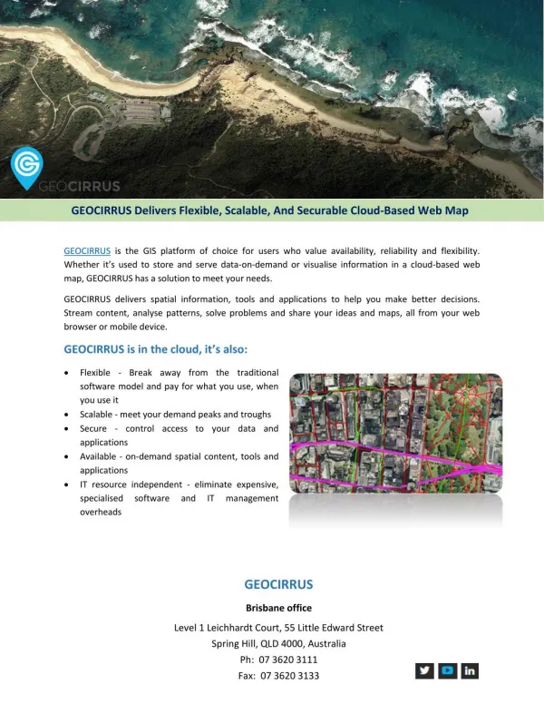
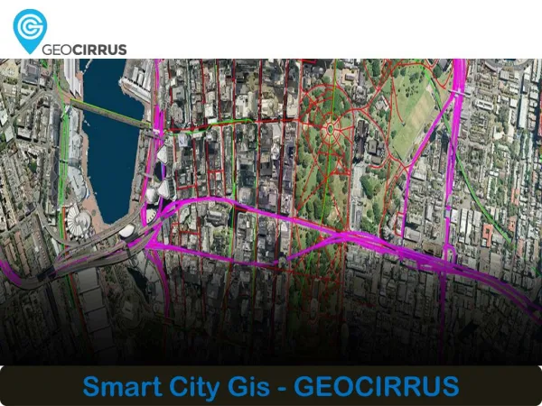
GEOCIRRUS delivers spatial information, tools and applications to help you make better decisions. Stream content, analyse patterns, solve problems and share your ideas and maps, all from your web browser or mobile device. For more information, please contact us. GEOCIRRUS, 2/33 Waterloo Rd, Macquarie Park, NSW 2113, Phone: 02 8879 1600, http://www.geocirrus.com

E N D
About GEOCIRRUS • GEOCIRRUS delivers spatial information, tools and applications to help you make better decisions. • Stream content, analyse patterns, solve problems and share your ideas and maps, all from your web browser or mobile device.
Our Features • Flexible - Pay for what you use, when you use it • Scalable - Meet your demand peaks and troughs • Secure - Control access to your data and applications • Available - On-demand spatial content, tools and applications • IT resource independent - Eliminate expensive, specialised software and IT management overheads
GEOCIRRUS Products Need premium or industry-specific content, smart tools for complex problems or easy access to a map of your assets? Think GEOCIRRUS. • GEOCIRRUS Origin • GEOCIRRUS Node • GEOCIRRUS Edge • GEOCIRRUS Link
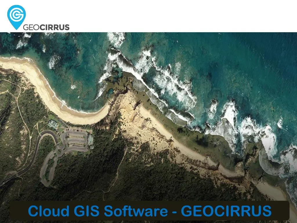
Premium Content GEOCIRRUS hosts and streams premium content from the following sources: • AAM’s extensive catalogue of premium base maps, aerial and terrain data and 3D models, delivered using recognized industry standard formats • Leading satellite imagery providers. • Your own datasets. GEOCIRRUS is a secure, cost-effective storage solution that eliminates the need for in-house infrastructure and IT resources. High Resolution Aerial Imagery
Contact Us • GEOCIRRUS • Level 1, Leichardt Court, • 55 Little Edward Street, • Spring Hill 4000, QLD • Website:http://www.geocirrus.com