Download
1 / 2
20 likes | 46 Views
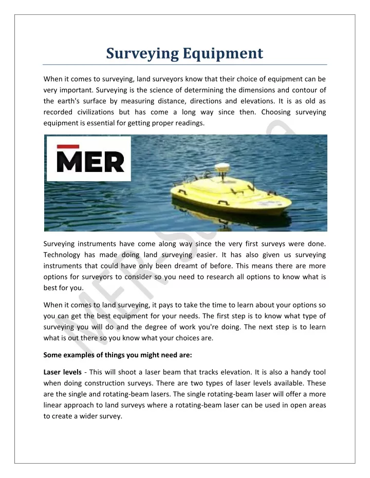
Hydrographic Survey Equipment Suppliers in Dubai UAE? we provides the Best ROV tooling Suppliers, Marine Solutions, Seismic Solutions, Designed Solutions & Geotechnical Equipment Suppliers in Dubai UAE. Contact Now MER-Subsea<br>

E N D
Surveying Equipment When it comes to surveying, land surveyors know that their choice of equipment can be very important. Surveying is the science of determining the dimensions and contour of the earth's surface by measuring distance, directions and elevations. It is as old as recorded civilizations but has come a long way since then. Choosing surveying equipment is essential for getting proper readings. Surveying instruments have come along way since the very first surveys were done. Technology has made doing land surveying easier. It has also given us surveying instruments that could have only been dreamt of before. This means there are more options for surveyors to consider so you need to research all options to know what is best for you. When it comes to land surveying, it pays to take the time to learn about your options so you can get the best equipment for your needs. The first step is to know what type of surveying you will do and the degree of work you're doing. The next step is to learn what is out there so you know what your choices are. Some examples of things you might need are: Laser levels - This will shoot a laser beam that tracks elevation. It is also a handy tool when doing construction surveys. There are two types of laser levels available. These are the single and rotating-beam lasers. The single rotating-beam laser will offer a more linear approach to land surveys where a rotating-beam laser can be used in open areas to create a wider survey.
Theodolites - These are most commonly used for horizontal and vertical angling. They can also determine elevation and height. GPS equipment - Probably the best invention for conducting true surveys is the GPS or Global Positioning System equipment. This system uses satellites to conduct the surveys. The unit makes contact with the satellite which transmits a signal. It does this by taking the variations in height between two points along with the distance and directions. Measurement equipment - A measuring wheel is the most common type of measurement equipment. This method works by rolling the wheel along the desired measurement and counting the revolutions of the wheel. The counting is done by having an odometer on it that records the revolutions. Tripod equipment - Having a stable tripod is essential when taking surveys. If the tripod moves, it must be reset and the survey repeated. The material that the tripod is made of can also affect a survey. Wood and aluminum can become water logged and can change the results of the survey while fiberglass is heavy and cumbersome. It can come down to personal preference when choosing the right tripod equipment for you. Hydrographic Survey Equipment Suppliers in Dubai UAE? we provides the Best ROV tooling Suppliers, Marine Solutions, Seismic Solutions, Designed Solutions & Geotechnical Equipment Suppliers in Dubai UAE. Contact Now MER-Subsea More equipment/amp/ Article - https://mersubsea.wordpress.com/2022/04/12/surveying-