Download
1 / 7
70 likes | 96 Views
Natural disasters have been all over the news this past decade or two, and whether the ways in which such events are reported has made us all feel as if they are becoming more commonplace, damage to the environment and climate change are factors that are steadily causing more unpredictable weather patterns globally.<br>

E N D
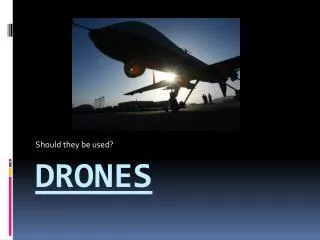
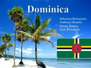
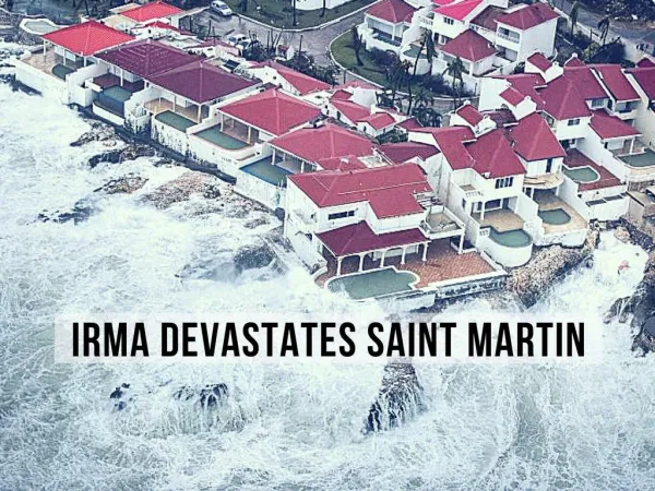
Natural disasters have been all over the news this past decade or two, and whether the ways in which such events are reported has made us all feel as if they are becoming more commonplace, damage to the environment and climate change are factors that are steadily causing more unpredictable weather patterns globally. When hurricane Maria struck the island of Dominica back in September ’17, it was the latest in a string of storms to hit the region. With maximum sustained winds of up to 160 miles per hour, the island was battered and bruised almost beyond recognition, with homes and businesses destroyed, not to mention human lives.
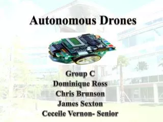
After the event, teams of researchers and scientists were called in to help coordinate relief efforts and provide insights into how best to support disaster recovery in the future. Maryland pilots joined by a Canadian relief organisation, joined forces to create a crew with a project named Trinity, to help create high-resolution digital maps of Dominica, and a prototype tiltrotor drone was used. Two flight engineers who worked on The Osprey drones developed the tiltrotor drone, Photuris, and became part of the Trinity crew.
What challenges did Team Trinity face when mapping the hurricane devastated area? One of the biggest challenges to overcome was that of the terrain, with the 290 square mile island having precious little in the way of flat ground, and mountains that are as high as 4,747 feet. Topographic maps had given the team some insight into the terrain before they arrived on the island, but most said that nothing had quite prepared them for the deep, narrow valleys and jagged peaks that littered the landscape.
Weather conditions also posed a challenge, and with no access to live weather radar data, the challenge soon became a significant one. Generators that were powering cell towers across the island aided the team by providing them with good cellular network availability, the gap in weather data saw them forced to return to less modern methods. For example, spotters helped keep the pilots up to date on weather conditions, and with tropical storms coming and going quickly, they had to make some speedy decisions.
The future of drones in the wake of hurricanes: With drone technology continually being developed and improved upon, it’s clear that they will continue to be of use in the wake of storms for mapping land and aiding relief efforts. Helicopters are clumsy and costly, and of course require a human pilot. Drones are lightweight, compact and can be flown remotely, meaning less risk of life to a pilot and the ability to reach terrain that would otherwise be out of bounds for helicopters.
The data capturing and processing part of this mission went well, and those involved continue to work with industry, other non-profit groups and global governments to refine and perfect the process of capturing data and getting it to the right people in the wake of natural disasters. Beverly Hills Aerials is a fully licensed and insured cinematography company in Los Angeles. We provide drone photography and aerial filming los angeles and throughout the United States at affordable prices with less turnaround time. If you are looking for drone los angeles or television drone services, Visit us at http://beverlyhillsaerials.com