Download
1 / 3
30 likes | 38 Views
Engineers can use this data to measure distances (m), areas (m2), stockpile volumes (m3), create polygons, place identifying markers, identify latent machinery and add annotations using a standard browser, that can then easily be shared and commented on. For more information, visit https://nationaldrones.com.au/

E N D
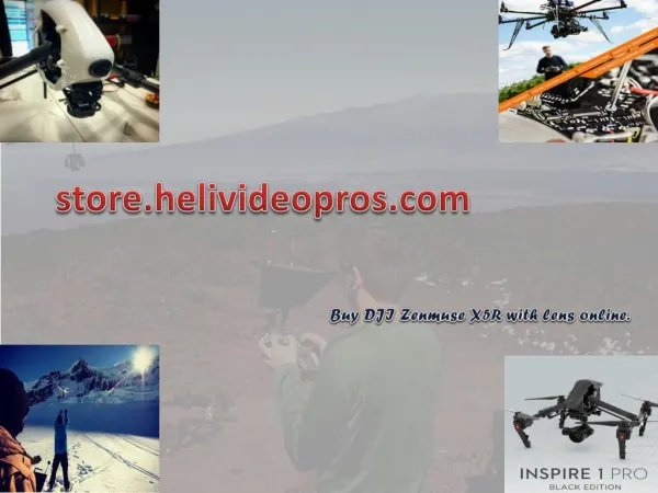
Drone Services & Training https://nationaldrones.com.au/
National Drones is an Australia wide service provider of aerial photography and videography, aerial spotting and aerial surveillance services utilising unmanned aerial vehicles (UAV’s), otherwise known as Remotely Piloted Aircraft Systems (RPAS) or drones. Our drone services cover a wide range of industries including, but not limited to: real estate photography; building and solar panel inspections; insurance assessment; agricultural land surveillance; television and media; mining; mapping and surveying; asset inspections; emergency services and more. We conduct drone services nationally using operators based in Melbourne, Sydney, Brisbane, Perth, Darwin, Gold Coast, Adelaide, Canberra and Hobart. Civil Engineering and Construction Services - Land surveying & terrain mapping - Capturing views for off the plan marketing - Stockpile measurement and monitoring - Asset underutilisation detection - Remote project oversight via live video streaming - Progress reporting - Improved workplace safety (scaffold inspections) - Heritage building inspections and 3D modelling - Thermal imaging (building heat loss and insulation inspections) - Real Estate marketing For more information, visit https://nationaldrones.com.au/
Maintaining a competitive edge in the civil engineering and construction industry necessarily means keeping tight control over project costs. Blowouts in construction timeframes, workplace incidents that result in industrial action or worksite closures; stockpile shortages bringing work to a halt and equipment that is under-utilized can all have a devastating impact on the profitability of civil construction and building projects. GPS assisted Unmanned Aerial Vehicles (UAV’s) with collision protection and active camera stabilisation are providing a level of previously unmatched visibility over large-scale projects, improving transparency, enhancing site safety and helping avert costly disruptions. Drones cut costs, deliver efficiencies and save time. WHS managers for example, are able to continually observe progress and identify new and emerging hazardous risks, placing them in a better position to plan risk minimization and mitigation strategies throughout the course of a project. For more information, visit https://nationaldrones.com.au/