Download
1 / 19
190 likes | 787 Views
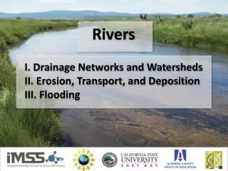
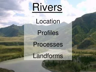
Georgia's Physiographic Provinces. Cumberland PlateauBlue RidgeRidge and ValleyPiedmontCoastal Plain. Georgia's Watersheds. River headwaters in higher elevationsFlow Southeast and Southwest to Atlantic Ocean and Gulf of Mexico. Blue Ridge. Constrained channels underlain by bedrockGenerally clear and cool flow from forested watershedsHigh energy but with low flow due to smaller catchment basinWaterfalls.

E N D
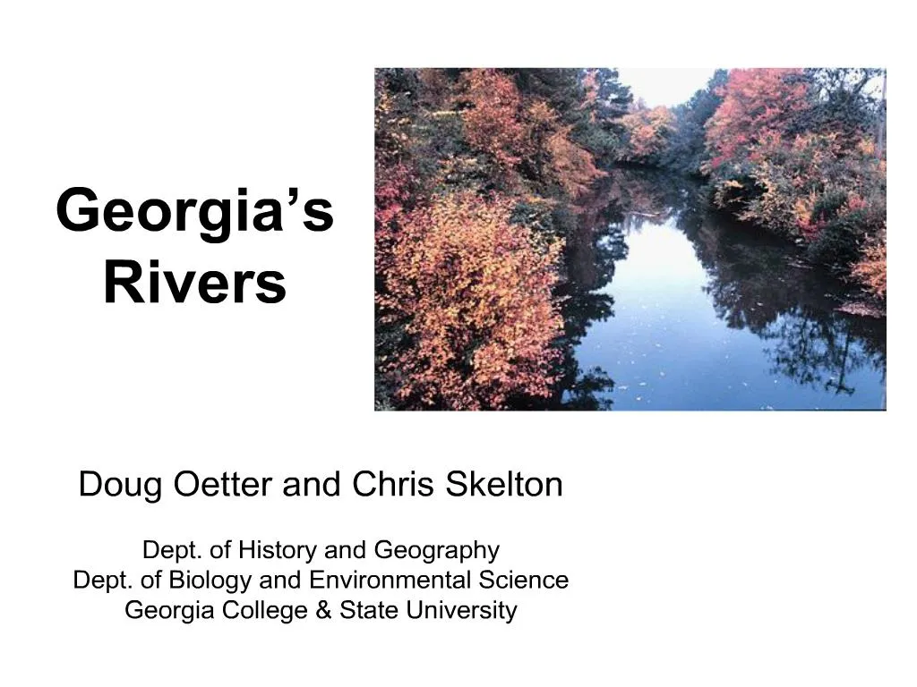
1. Georgia�s Rivers Doug Oetter and Chris Skelton
Dept. of History and Geography
Dept. of Biology and Environmental Science
Georgia College & State University
3. Georgia�s Watersheds River headwaters in higher elevations
Flow Southeast and Southwest to Atlantic Ocean and Gulf of Mexico
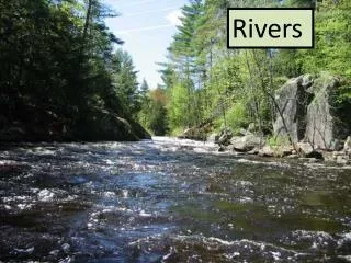
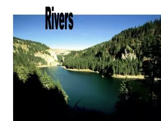
4. Blue Ridge Constrained channels underlain by bedrock
Generally clear and cool flow from forested watersheds
High energy but with low flow due to smaller catchment basin
Waterfalls
5. Ridge and Valley
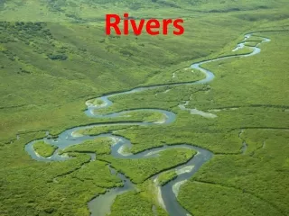
6. Piedmont
7. Coastal Plain
8. Georgia�s Main Rivers Altamaha
Yamassee Indian chief Altamaha, named by DeSoto in 1540
Chattahoochee
Creek for �flowered stones�
Coosa
Cherokee name for the Upper Creeks of the region
Flint
Thronateeska, �flint-picking-up-place�
Ochlockonee
Hitchiti for �yellow water�
Ocmulgee
Creek for �bubbling water�
Oconee
From Oconee Old Town
9. Average Flows
11. Outline History of Georgia�s Rivers Native uses
Early commerce
Steamboat era
Flooding
River decline
Dam-building period
River resurgence
12. Native American Uses Drinking water
Food
Transportation
Settlement
Fall Line communities
Resources of both Coastal Plain and Piedmont
13. Early Commerce Exploration
Trading
Minerals
Timber extraction
Hydropower (grist and lumber mills)
14. Steamboat Era Begun in late 1820�s
Rivers developed for commerce
Grain
Lumber
Manufactured goods
Cotton
Continued until late 1930�s
Displaced by road transportation
15. Flood Damage Severe flooding aggravated by sediment accumulation in river channel from massive soil erosion
16. River Decline Sedimentation
Untreated sewage
Phosphates and municipal waste
Nitrates
Industrial pollutants
Removal of riparian vegetation
17. Dams and Reservoirs U. S. Army Corps of Engineers Reservoirs
Allatoona Lake
Carters Lake
J. Strom Thurmond Lake
George W. Andrews Lake
Hartwell Lake
Richard B. Russell Lake
Lake Seminole
Lake Sidney Lanier
Walter F. George Lake
West Point Lake
Powerplant cooling reservoirs
Other small dams
18. Resurgence of Georgia�s Rivers Clean Water Act
Pollution control
Sewage treatment
Recreation and Wildlife Values Riverfront Redevelopment