Download
1 / 9
170 likes | 629 Views
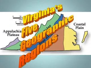
Five Regions of Wisconsin. Take notes on the following major points of Wisconsin’s geography and five regions. On the Great Lakes (Superior and Michigan) and the Mississippi River on the west. Population capacity depends upon: Topography Soil and climate

E N D
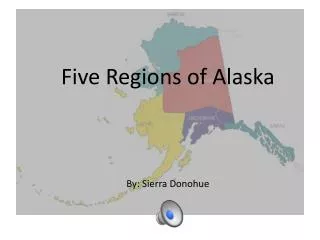
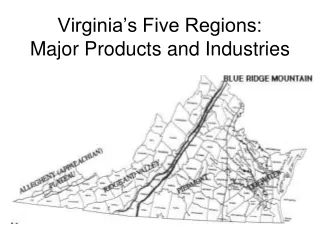
Five Regions of Wisconsin Take notes on the following major points of Wisconsin’s geography and five regions.
On the Great Lakes (Superior and Michigan) and the Mississippi River on the west. • Population capacity depends upon: • Topography • Soil and climate • how can we survive/use a given area? Physical Geography
Soil as a Resource • Two centuries and a half ago, fur-bearing animals were our greatest asset (location of trade) • Forty years ago, pine forest was our greatest asset (lumber industry) • Farm produce – wheat (hay, oats, and corn), dairying • Manufacturing Human Environment Interaction
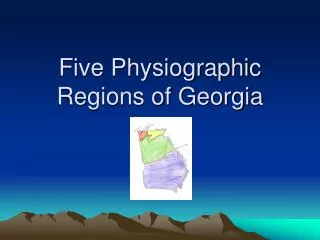
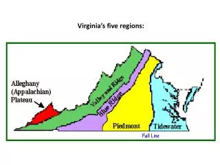
Related to the use of the land by plants, by animals, and by man • Each differs in: • roughness or smoothness of topography • infertility or sterility of soil • climate • adaptation by wild/cultivated plants, animals, and by man. • Driftless vs. Glaciated Regions Five Natural Regions
Most attractive part of the state – “mountainous” • Driftless Area • Baraboo Range – Devils Lake State Park • Was completely surrounded by glaciated territory and is a large sample of what the rest of WI, as well as northern and eastern U.S. were like before the Glaciation period. • Highland to the north furnished temporary protection from the ice invasion • Rapid movement of glacial lobes in the lowland and west resulted in the final joining of these ice lobes south of the area, so that it was completely surrounded • Termination of forward movement (temperatures raised) began the retreat before the area was covered (followed their original path) • Mississippi River – 1673 Pere Marquette and Sieur Joliet Western Upland
Largest proportion of the population – due to level topography, fertile soil, and favorable climate. • Drumlins made by continental glaciers (these and the Driftless Area are what make WI known) • Tell us what direction the glacier moved • 5-140 feet above the adjacent plain, and range from narrow to 2 miles wide • Kettles – deep hollows (some were filled with water and are now lakes or ponds) • Eskers – built by glacial streams flowing beneath the ice – narrow winding ridges of gravel (some are as long as 6 miles) Eastern Ridges and Lowlands
Not a continuous plain • Division of northern and southern WI (transition zone) • Region of low hills Central Plains
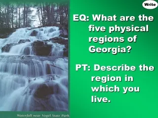
Prior to the glaciation, Wisconsin was part of a mountainous region similar to that of the Alps – worn down mountains have been revealed particularly in this area. • Rapids and waterfalls are abundant in the streams and lakes and swamps are found everywhere • Better suited for forest than to crops with large swampy areas (huge for the lumber industry) – steady water supply • Attraction to fishermen and visitors. • Rapids and Waterfalls furnish invaluable water power. Northern Highlands
Lake Superior is the largest body of fresh water in the world • Was a highland and is now a lowland because of the dropping of a block of the earth’s crust in a fault • Chiefly a plain Lake Superior Lowlands