Download
1 / 21
210 likes | 289 Views
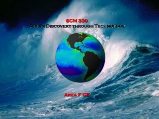
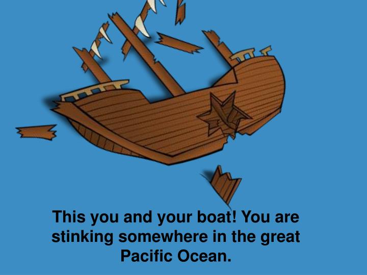
This you and your boat! You are stinking somewhere in the great Pacific Ocean. Only way to save your ship: help must arrive within the next 3 hours. Planes are available at another location. It can reach the ship in 3 hours if the planes fly at top speed. Therefore, it

E N D
This you and your boat! You are stinking somewhere in the great Pacific Ocean.
Only way to save your ship: help must arrive within the next 3 hours. Planes are available at another location. It can reach the ship in 3 hours if the planes fly at top speed. Therefore, it is necessary that the planes know exactly where the ship is located for no time to be wasted searching for the ship.
You are the radio operator on the ship. Your captain instructs the you to contact the planes and give them a precise location of the ship so that the planes can locate and save them. In your DO NOW section of your binder, explain how you would solve this problem. Why might your solution work?
Lines of latitude are imaginary lines that run completely around the globe-full circles. If you were traveling any of these lines what directions would you be going? EAST or WEST
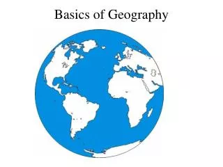
The Equatordivides the world into two halves or hemispheres: Northern and Southern Hemispheres • All places that arenorthof the equator are said to have a north • latitude. All places south of the equator are said to have south • latitude. • Which Hemisphere is North America located? South America?
All lines of latitude are parallel. This means that no matter how far two lines of latitude are extended they would never meet. To prevent maps from becoming too cluttered with lines, map makers show only a few lines of latitude, generally 10 or 20 degrees apart
Lines of longitude are imaginary lines, also called meridians, that run vertically around the globe. Unlike latitude lines, longitude lines are not parallel. Meridians meet at the poles and are widest apart at the equator. Zero degrees longitude (0°) is called the prime meridian If you were traveling any of these lines what directions would you be going? NORTH AND SOUTH
You Try It! Directions: Look at the map on the next slide and answer the following questions • What is the Latitude of Letter D? • What is the Longitude of Letter D? • What Hemisphere(s) is Letter H located? • How many degrees of latitude separate letters C and G? • How many degrees of longitude separate letters J and F? • What is the latitude and longitude of letter E?
Sources • http://oncampus.richmond.edu/academics/education/projects/webunits/geography/hemispheres.htm • http://www.hammondmap.com/catalog/classroom_activities/latlong1.html • http://www.factmonster.com/ipka/A0908193.html • http://www.uen.org/utahlink/tours/tourViewSite.cgi?tour_id=14892 • POWERPOINT by Katherine Figlus