Download
1 / 38
580 likes | 1.27k Views
Highway Functional Classification. PEAR Workshop September 2009 Spencer Stevens, Planning Office Joe Hausman, Office of Highway Information Ed Christopher, Resource Center . Highway Functional Classification. What? Why? How? Relationship to Federal-Aid Relationship to Design

E N D
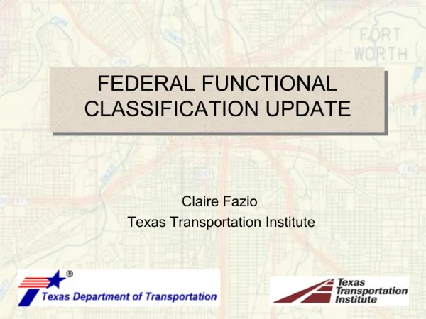
Highway FunctionalClassification PEAR Workshop September 2009 Spencer Stevens, Planning Office Joe Hausman, Office of Highway Information Ed Christopher, Resource Center
Highway FunctionalClassification • What? • Why? • How? • Relationship to Federal-Aid • Relationship to Design • October 2008 HPMS memo
What is the function of a road? • Provides mobility (arterials) • Provides access (locals) • Provides both (collectors)
Why classify roads? • There are approximately 4,000,000 miles of roads in the U.S. • Some are more “important” than others
Why classify roads? • Helps determine which level of government has responsibility • Influences design • Affects how they are funded • Impacts Federal-Aid
Highway Functional Classes (Rural Miles) • Principal arterials 132,451 (4%) • Minor arterials 137,875 (4%) • Major collectors 434,090 (14%) • Minor collectors 272,047 (9%) • Local 2,096,837 (68%) • Total 3,071,331
Highway FunctionalClasses (Urban miles) • Principal arterials 76,033 (9%) • Minor arterials 90,475 (10%) • Collectors 89,310 (10%) • Local 628,369 (71%) • Total 884,187
Federal-Aid • National Highway System • Principal arterials • Surface Transportation Program • Arterials • Urban collectors • Rural major collectors
How? • Group population centers and major travel generators • Identify neighboring centers • Connect the largest directly • Connect the next group to the major centers
How? • Considerations: • Arterials integrated network • Spacing • Changes at urban boundaries • Trip length • Diminishing returns
Urban Boundaries • Urban clusters • Census block population density • Secondary criteria • Urban Places • Political boundaries • Adjusted boundaries
Design Considerations • AASHTO’s Policy on Geometric Design of Highways and Streets 2001 (Green book) • Arterials – promote mobility and restrict access • Locals – promote access and limit mobility
Design Features • Speed • Levels of service • Alignment • Width • Clearances • Grades
Urban Features • Parking • Lighting • Curb & Gutter • Sidewalks • Utilities
Access Control • Full control • Freeway • Partial control • Medians • Grade separation • Signal timing • Limit driveways and entrances
Access Control Methods • Land use ordinances • Geometric design • Medians • Spacing median openings • Frontage roads • Direct vs. indirect access • Single vs. multiple access
HPMS Reassessment • October 14, 2008 memo • Recommends revisions to highway functional classification guidebook • Downplays the Urban/Rural distinction • New HPMS classification schema used for 2010 data reporting • Does NOT change any Highway Functional Classification Guidance or practice
Summary • What is the function of roads? • Why classify the roads? • Example of impact on design • Which roads are eligible for Federal-Aid?
Highway Functional Classification Concepts, Criteria and Procedures • It is just a guide • Varies in practice by state • Functional Class boundaries are not rigid • Some states develop supplemental criteria • www.fhwa.dot.gov/planning/fctoc.htm
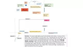
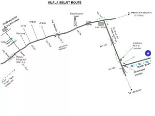
Main Street State University Campus Loop I-95
Census Urban Boundary Industrial Blvd Industrial Park
The village of Mesa Mesa View Road Red Rock Heights Route 36
Resource Page http://www.edthefed.com/fclass/
Yepper – We Can Assist You? SelectHere http://www.dot.state.pa.us/Internet/Bureaus/pdPlanRes.nsf/PlanningAndResearchHomePage?OpenFrameset