Download
1 / 6
60 likes | 251 Views
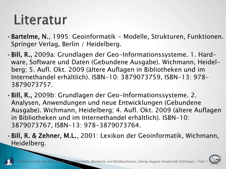
Literatur. Bartelme, N. , 1995: Geoinformatik - Modelle, Strukturen, Funktionen. Springer Verlag, Berlin / Heidelberg.

E N D
Literatur • Bartelme, N., 1995: Geoinformatik - Modelle, Strukturen, Funktionen. Springer Verlag, Berlin / Heidelberg. • Bill, R., 2009a: Grundlagen der Geo-Informationssysteme. 1. Hard-ware, Software und Daten (Gebundene Ausgabe). Wichmann, Heidel-berg; 5. Aufl. Okt. 2009 (ältere Auflagen in Bibliotheken und im Internethandel erhältlich). ISBN-10: 3879073759, ISBN-13: 978-3879073757. • Bill, R., 2009b: Grundlagen der Geo-Informationssysteme. 2. Analysen, Anwendungen und neue Entwicklungen (Gebundene Ausgabe). Wichmann, Heidelberg; 4. Aufl. Okt. 2009 (ältere Auflagen in Bibliotheken und im Internethandel erhältlich). ISBN-10: 3879073767, ISBN-13: 978-3879073764. • Bill, R. & Zehner, M.L., 2001: Lexikon der Geoinformatik, Wichmann, Heidelberg.
Bollmann, J. & Koch, W.G., 2002: Lexikon der Kartographie und • Geomatik, Spektrum-Akademischer Verlag. Burrough, P.A., & McDonnell, R.A., 1998: Principles of Geographical Information Systems (Spatial Information Systems). Oxford University Press, USA; 2nd edition (April 9, 1998). Language: English. ISBN-10: 0198233655, ISBN-13: 978-0198233657. • Dickmann, F., & Zehner, K., 1999: Computerkartographie und • GIS (Taschenbuch). Westermann. ISBN-10: 3141603383, ISBN- • 13: 978-3141603385. • ESRI (Environmental Systems Research Institute), 1998: ESRI • Shapefile Technical Description, http://downloads.esri.com/ • support/whitepapers/ao_/shapefile.pdf. • Hessisches Landesvermessungsamt, 2000: Topographische • Karten – Kennenlernen und Verstehen, 3. Aufl.
Literatur • Kennedy, M & Kopp, S, 2000: Understanding Map Projections, ESRI, Redlands, CA, USA. • LVA BW (Landesvermessungsamt Baden Württemberg), 2006: Gradnetz und Gitter auf Karten. • Wilkonson, G.G.; Fischer, P.; Jackson, M.; Menz, G., & Wicket, M, 1986: Review of Integrated Geo-Information-Systems Techniques. Final Report on ESA Contract No 6084/84/D/JS/(SC). A Study on Integrated Geo Information Systems, 1.1-1.8. • Husmann, H., & Schulz, K.: Step by Step das GIS Tutorium: http://www.gis-forum.info/studium/tutorials/stepbystep/ ArcGis_Tutorial/index.htm • Anonymous: GISWiki. http://giswiki.org/wiki/GISWiki:Portal
Bezugsquellen für Geodaten • Freie und kostenpflichtige Bezugsquellen für Geodaten (Raster u. Vektor) • http://www.landkartenindex.de/welt/weltkarten.htm • http://wiki.osgeo.org/wiki/Geodata_Repository
GIS Software • Kommerzielle Produkte (Auswahl) • ArcGIS von ESRI, http://www.esri.com • IDRISI Selva von Clark Labs, http://www.clarklabs.org • Cadcorp SIS von Cadcorp, http://www.cadcorp.com • Orbit GIS von Orbit Geospatial Technologies, http://www.orbitgis.com • Maptitude von Caliper Corporation, http://www.caliper.com/maptovu.htm • TopoL von TopoL, http://www.topol.de/ • Manifold System von Manifold Net Ltd., http://www.manifold.net/
GIS Software • Freie Produkte (Auswahl) • Quantum GIS (QGIS), http://www.qgis.org • gvSIG, http://www.gvsig.org/web/ • OpenJUMP GIS, http://openjump.org/ • uDIG, http://udig.refractions.net • GRASS GIS, http://grass.fbk.eu/ • SAGA GIS, http://www.saga-gis.org/en/