Download
1 / 16
160 likes | 328 Views
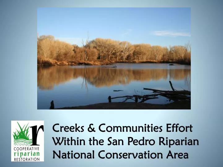
Creeks & Communities Effort Within the San Pedro Riparian National Conservation Area. What is Creeks & Communities?. Created in 1996 by BLM and USFS with other agencies and cooperating partners Mission: Healthy Streams (and wetlands) Through Brining People Together

E N D
Creeks & Communities Effort Within the San Pedro Riparian National Conservation Area
What is Creeks & Communities? • Created in 1996 by BLM and USFS with other agencies and cooperating partners • Mission: Healthy Streams (and wetlands) Through Brining People Together • Multi-party approach for all lands where interest exists in improving riparian condition
Increase awareness and shared understanding of riparian function and sustainability across a large number of diverse people.
Principles & Practices • Bring affected/interested parties together and instill ownership • Create learning environments and build relationships/trust • Build community information base and create useful information
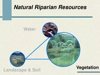
Focus on Riparian Function By focusing on stream health, we help to create a common vision of what is possible and what is needed for management and/or restoration
P.F.C. Communication Tool • Assessment • Method & On-The Ground Condition
C&C Effort Within the SPRNCA In 2010, NRST requested by the BLM to work with the SPRNCA and the local community to organize a community-based effort to promote coordination and create a shared strategy based on an understanding of current conditions, trends and the range of management options for maintaining and enhancing riparian function.
Situation Assessment • NRST met with diverse parties (March 2011) to get a better understanding of the situation and options for moving forward with NRST involvement. • NRST reviewed findings and recommendations with BLM and stakeholders (May 2011) • Decided to focus on developing a clear and comprehensive vision for the future management of SPRNCA riparian resources. • Finalized C&C activities and timeline for 2011.
Technical Riparian Workshop • NRST met with BLM and partner technical specialists (July 2011) to review existing information and gain understanding of current riparian condition and trend within SPRNCA. • Developed 2012 action plan to collect additional information needed to develop comprehensive description of potential and current riparian condition on a reach-by-reach basis in a manner that satisfies AZ BLM Land Health Standards in advance of BLM planning process. • Community meeting to report out and get feedback from those unable to attend the technical meeting.
Community Riparian Workshops • NRST-led workshops (October 2011) focused on understanding the attributes and processes that constitute riparian-wetland function and sustainability, including the link between ground and surface water. • BLM and Community Watershed Alliance co-sponsored workshop on wetlands/cienegas. BLM and Friends of the San Pedro River co-sponsored workshop on river systems. • Information presented on how stakeholders can get involved in 2012 activities.
Define Riparian Potential and Capability • NRST contractor-led interdisciplinary effort to synthesize existing information, and identify data gaps that need to be filled, to provide a description a riparian potential and capability for the 40 miles of the San Pedro river within the SPRNCA on a reach-by-reach basis. • NRST work with BLM and partner technical specialists to review and finalize these descriptions (February 2012), which will provide a benchmark against which to compare current condition and trend, and to develop riparian management objectives. • Community meeting to report out and get feedback from those unable to attend the technical meeting.
Riparian Assessment Training • ‘PFC for Professionals’ : (March 2012) NRST-led, intensive 4-day training for natural resource professionals who either perform PFC assessments or are interested in better understanding how they are integrated into a broad planning, implementation and monitoring program. • ‘Pre-Assessment Community Workshop’ : (April 2012) NRST-led, 1-day training for community members who are interested in learning more about the PFC assessment process and/or are planning to accompany the IDT in the field. Dr. Stromberg’s riparian condition inventory will also be reviewed. An evening overview will also be provided for those unable to attend the1-day session.
Field Based Riparian Assessments • NRST members/contractors work with the BLM IDT (April 2012) to revisit Dr. Stromberg’s riparian condition inventory and conduct updated PFC assessments on the 40 miles of the San Pedro river within the SPRNCA. • Technical specialists from partner agencies and organizations, plus other interested stakeholders, are encouraged to attend to witness the process and engage in discussions. • Final report documenting assessment results will be written by NRST contractor (July 2012) and reviewed by internal BLM and external technical specialists.
Post-Assessment Workshop NRST-led, stakeholder workshop (September 2012) to explain the results of the assessment & explore next steps. • How the BLM can best use the information and stakeholder interest that has been generated as they move forward in their planning process? • How the larger community can use the assessment results, coupled with resultant BLM decisions regarding desired future condition, to inform watershed scale efforts? • determining the sustainable yield of the regional aquifer • identifying the optimum amount and location of water augmentation projects • promoting upland and tributary restoration efforts to encourage the efficient capture, storage and slow release of water across landscape
For more information contact: Ryan Pitts, BLM Gila District, 520-439-6409 rpitts@blm.gov Laura Van Riper, NRST, 541-416-6702 lvanripe@blm.gov