Download
1 / 35
390 likes | 1.87k Views
Overview The 3D scene document: a new ArcView document type 3D Analysis & Modeling Data sources for 3D display and analysis 3D visualization_ Overview The 3D scene document: a new ArcView document type 3D Analysis & Modeling Data sources for 3D display and analysis 3D visualization_

E N D
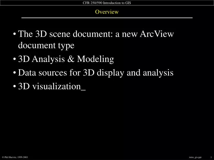
Overview • The 3D scene document: a new ArcView document type • 3D Analysis & Modeling • Data sources for 3D display and analysis • 3D visualization_
Overview • The 3D scene document: a new ArcView document type • 3D Analysis & Modeling • Data sources for 3D display and analysis • 3D visualization_
3D Scene Document • 3D Scene: document type for viewing data in 3 dimensions
3D Scene Document • Table of contents & viewer in separate windows
3D Scene Document • Viewer “floats” outside of application window
selection of 3D shapes or other vector features save as BMP or JPEG selection of 3D graphical primitives rotateviewer navigate zoom buttons The 3D scene GUI • 3D Scene GUI • Buttons & tools on same bar
Overview • The 3D scene document: a new ArcView document type • 3D Analysis & Modeling • Data sources for 3D display and analysis • 3D visualization_
3D Analysis & Modeling • Viewing/converting 3D data • Contouring • Profiling • Color hillshade mapping • Steepest descent • Viewshed and visibility • Slope and aspect calculation_
view 3D data sets • convert 2D data to 3D 3D Analysis & Modeling • 3D Analyst functions
3D Analysis & Modeling: Contouring • Surface contouring
line shows green (visible)red (not visible) • surface profile is generated 3D Analysis & Modeling: Profiling • Composite tool for line of sight & profiling
Steepest descent tool; use with TIN 3D Analysis & Modeling: Steepest descent • Creates a 3D graphic line of steepest downward descent • can be viewed in 3D • creates a graphic on the view
3D Analysis & Modeling: Viewshed and visibility • Viewshed and visibility analysis • delineation of areavisible from a point
slope for each cell • aspect for each cell 3D Analysis & Modeling: Slope and aspect calculation • Maximum slope & aspect (slope direction azimuth)
single attribute display multiple attribute display 3D Analysis & Modeling: Feature extrusion • Feature extrusion
Break Entertainment Star Wars Kid
Overview • The 3D scene document: a new ArcView document type • 3D Analysis & Modeling • Data sources for 3D display and analysis • 3D visualization_
Data sources for 3D display and analysis • Source of 3rd Dimension • Surfaces • Grid data sources • TIN data sources • 2D shapefiles and raster data • 3D shapefiles_
Data sources for 3D display and analysis • Grid data sources • Typical grid data sets from Spatial Analyst • Create from any other supported data set • Download DEM data • Displayed in 3D based on cell values_
Data sources for 3D display and analysis • TIN data sources • Vector-based data type • Triangulated Irregular Network • Composite of point, line, and polygon features
Data sources for 3D display and analysis • TIN data model • Complex or simple structure where necessary to model surface
Data sources for 3D display and analysis • 3D Shapefiles • 2D shapefiles have only X & Y coordinates as part of data structure • 3D shapefiles incorporate a Z coordinate as part of data structure • Z-value can represent any numerical phenomenon • Any 2D shapefile can be converted to a 3D shapefile • Conversion based on a constant, attribute value, or surface model_
Overview • The 3D scene document: a new ArcView document type • 3D Analysis & Modeling • Data sources for 3D display and analysis • 3D visualization_
3D visualization • 3D visualization • Seeing 2D features in 3D by draping and extruding • Legend editing • Navigation and moving around in real-time • Real-time perspective viewing_
3D visualization: Surface draping • 3D surface draping • Any 2D theme can be displayed draped over a surface • streams • contour lines • digital orthophoto
3D visualization: Color hillshade mapping • Draping with color ramping
3D visualization: Color hillshade mapping • Draping, color ramping, and hillshading
base height of feature • offset from base height • extrusion 3D visualization: Seeing 2D features in 3D by draping and extruding • Display of 2D theme can be altered
orthophoto & streamsdraped on DEM • DEM as color hillshade& streams draped on DEM 3D visualization: Seeing 2D features in 3D • Draping rasters/features on surfaces
points or polygonsextruded by an attribute value • lines extruded by a constant 3D visualization: Seeing 2D features in 3D • Extruding features
point • line • polygon 3D visualization: TIN legend editing • Display of TIN can be altered
3D visualization: TIN legend editing • Display of TIN can be altered
3D visualization: TIN legend editing • Display of TIN can be altered
navigate tool 3D visualization: Navigating the 3D Scene Document • Complex tool for navigation
3D visualization: Navigation and moving around in real-time • “Real-time” = automatic refresh of viewer as perspective changes