Download
1 / 11
110 likes | 241 Views
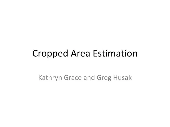
Cropped Area Estimation. Kathryn Grace and Greg Husak. Why Cropped Area with RS data?. Helps quantify food availability Important to consider at different scales (country-level, provincial-level) Can be done much more timely and efficiently than surveys. Estimation Approach.

E N D
Cropped Area Estimation Kathryn Grace and Greg Husak
Why Cropped Area with RS data? • Helps quantify food availability • Important to consider at different scales (country-level, provincial-level) • Can be done much more timely and efficiently than surveys
Estimation Approach Request/ Acquire data towards the end of the growing season
Haiti VHR imagery with 500 meter grid overlay Source: Laura Harrison, Grace et al. 2012 and FEWS NET/UCSB
Estimation Approach • Interpret dots (500 meter grid, 1k grid) – aim for about 100,000 points • Attribute dots • construct blocks of percent crop • Construct Generalized Additive Models (GAMs) • results are curves not coefficients • Prediction (predict crop in places where we do not have imagery) • Estimates of cultivation at the country and sub-national unit-level (normally provincial)
What do the GAM results look like? Peak for cultivation Logit Scale: 0=50% crop 2=88% -2=12%
Results Summary Deviance acts like a measure of fit – the higher the deviance the more variation explained by the model
Current Projects • Burkina-Faso • South Sudan • Incorporate soil properties, ETA • Synthesizing the past CAE work • Where does our approach to CAE work best • What are the defining (geophysical?) characteristics of the country/region
(near) Future Projects • Make estimates at smaller levels – at the community-level • Answer questions that examine the impact of agricultural variation on health (fertility, mortality, malnutrition) at the household/community-level • Construct agricultural scenarios based on climate scenarios/forecasts