Download
1 / 36
360 likes | 494 Views
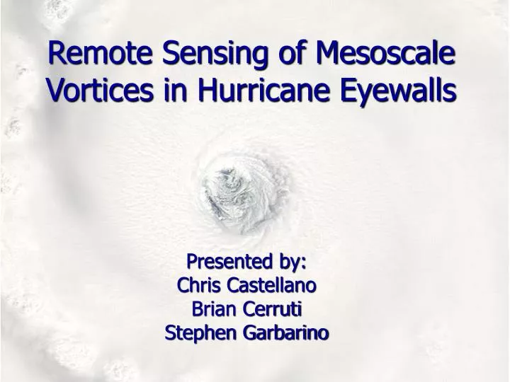
Remote Sensing of Mesoscale Vortices in Hurricane Eyewalls. Presented by: Chris Castellano Brian Cerruti Stephen Garbarino. Abstract. A phenomena observed only by remote sensing and new high resolution technology

E N D
Remote Sensing of Mesoscale Vortices in Hurricane Eyewalls Presented by: Chris Castellano Brian Cerruti Stephen Garbarino
Abstract • A phenomena observed only by remote sensing and new high resolution technology • Important to observe because they may play a significant role in the dynamics of the inner structures of hurricanes • Without remote sensing instruments like MODIS, AVHRR, and NEXRAD mesoscale vortices would remain undetected.
Overview • Platforms • TERRA/AQUA • NOAA 15,16,17 • WSR-88D Units • Sensors • MODIS • AVHRR • NEXRAD • Products
Platforms • TERRA/AQUA • NOAA 15, 16, 17 • WSR-88D
TERRA Satellite (EOS-AM1) • Multinational, multidiscipline mission • Managed by NASA with partners in Canada and Japan • Planned 15 year data set to be collected; began in February 2000 • Sun Synchronous
TERRA Continued • Descending time: 10:30am • Ascending time: 1:30pm • Dimensions: 5.99 x 1.7 x 2.0 meters • Weight: 5190kg • Power: 2530 W on average MODIS MOPITT CERES MISR ASTER
AQUA Satellite (EOS-PM1) • Launched to collect data about the earths water cycle • Shares some of the same instruments in its payload as TERRA satellite • First of the “Afternoon” Satellites • Also uses a sun synchronous orbit
AQUA Continued • Descending time: 1:30pm • Ascending time: 10:30am • Dimensions: 4.8 x 16.7 x 8 meters • Mission Life: 6 years • Weight: 2,934 kg • Power: 4,860 W on average
NOAA 15 • Launched: May 1998 • Operational Status: AM secondary • Altitude: 807 km • Inclination: 98.5 degrees • Period: 100.1 minutes • Carries a variety of instruments including AVHRR
NOAA 16 • Launched: September 2000 • Operational Status: PM secondary • Altitude: 849 km • Inclination: 99 degrees • Period: 102.1 minutes • All instruments on NOAA 15 plus one additional instrument
NOAA 17 • Launched: June 2002 • Operational Status: AM backup • Altitude: 810 km • Inclination: 98.7 degrees • Period: 101.2 minutes • All instruments on NOAA 16
WSR-88D • Weather Surveillance Radar 1988 Doppler • Detects precipitation and atmospheric movement (wind) • Three modes • Clear air mode (slow scanning) • Precipitation mode (faster scanning) • Severe weather mode (very fast scanning)
Sensors • MODIS • TERRA and AQUA Satellites • AVHRR • NOAA 15, 16, 17 Satellites • NEXRAD • WSR-88D Units
MODIS • Moderate Resolution Imaging Spectroradiometer • On board both the Terra (am) and Aqua (pm) satellites • Provides high resolution radiometric sensitivity • Global coverage every 1-2 days
MODIS continued • Range: 0.4um to 14.4um • 36 spectral bands • 2 have Nadir Resolution: 250 m • 5 have 500 m resolution • Rest have 1km resolution • +- 5 degrees scanning pattern • Altitude: 705 km • Achieves 2,330 km swath
MODIS continued • Uses a whiskbroom scanning method to collect data • The optical system uses a two mirror off-axis a-focal telescope • Directs energy to 4 refractive objective assemblies • One for each • Vis • NIR • SW/MW IR • LW IR
MODIS continued • Uses a photodiode-silicon technology for visible and NIR to reduce noise • Has 4 on board calibrators as well as a view to space to keep the measurements accurate
MODIS Imagery • Hurricane Isabel • Visible band • 13 September 2003
MODIS Imagery • Hurricane Katrina • Terra Satellite • 28 August 2005
MODIS Imagery • Hurricane Wilma • 21 October 2005
AVHRR • Advance very high resolution radiometer • Used to remotely determine cloud cover and “surface temperature” • Whiskbroom scanner • At 833km the IFOV 1.1 x 1.1km at nadir • 4 site revisitations per day • 6 different channels
AVHRR Imagery • Hurricane Katrina • NOAA-15 • 28 August 2005
AVHRR Imagery • Hurricane Isabel • NOAA-15 • 15 September 2003
AVHRR Imagery • Hurricane Dean • NOAA-16 • 20 August 2007
NEXRAD • Determines location and intensity of precipitation, wind speed to/from the radar site, as well as several other products (VIL, storm tracks, etc.) • 16 tilts (data levels ) are available • .6 x .6 miles resolution out to 143 miles for base reflectivity at 0.5 degrees (tilt 1)
NEXRAD continued • Clear air mode • 5 elevation angles • Precipitation mode • 9 elevation angles • Severe weather mode • 14 elevation angles • Sub-mode of precipitation mode, not regularly delineated from it
NEXRAD continued • How does radar work? • Creates EM pulse focused by an antenna transmitted through the atmosphere • Objects within range scatter and reflect the energy • Energy returning to the radar is called an echo • Large target = stronger echo (hail) • Many targets = stronger echo (heavy precip)
NEXRAD continued • What is important for our use? • Base Radial Velocity • Measurement of movement of particles to/from radar • Storm Relative Radial Velocity • 4 tilts, storm motion is subtracted from the base radial velocity
Summary • Platforms • TERRA/AQUA • NOAA 15,16,17 • WSR-88D Units • Sensors • MODIS • AVHRR • NEXRAD • Products
Questions?…sometimes you don't need a satellite… International Space Station Sept 13, 2003