Download
1 / 20
210 likes | 388 Views
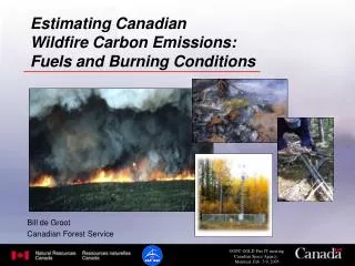
Wildfire Emissions Updated Methodology. Neva Sotolongo Emission Inventory Branch. Overview. Emission Estimation System (EES) Source data - FRAP Emission calculation methodology - FOFEM Fuel moisture inputs Changes and assumptions in methodology Results. Wildfire Definition.

E N D
Wildfire EmissionsUpdated Methodology Neva Sotolongo Emission Inventory Branch
Overview • Emission Estimation System (EES) • Source data - FRAP • Emission calculation methodology - FOFEM • Fuel moisture inputs • Changes and assumptions in methodology • Results
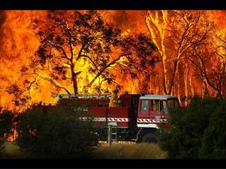
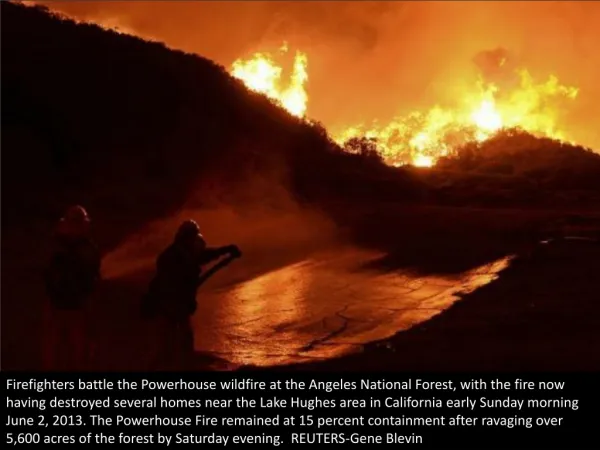
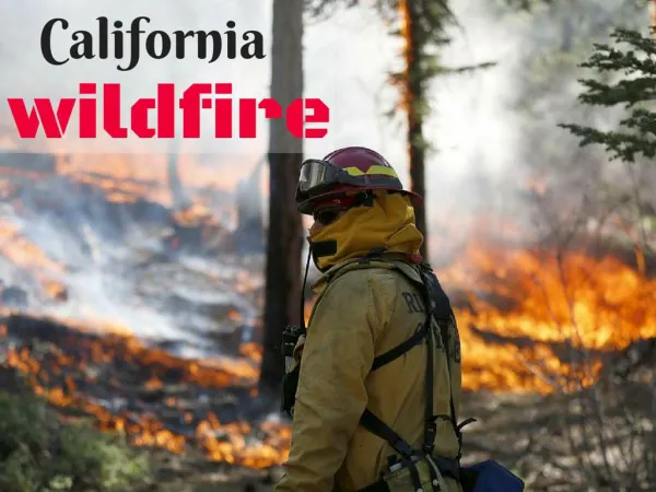
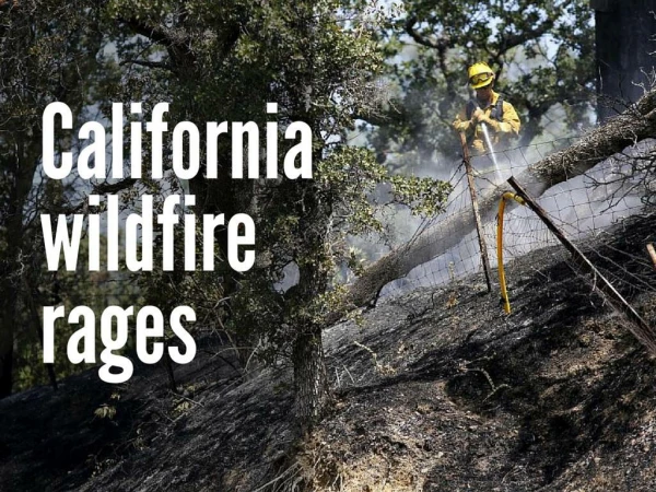
Wildfire Definition A natural event that burns a variety of vegetation types ranging in age, size and density; caused by natural and human activity such as lightning or arson, and suppressed by fire fighters. This category does not include prescribed burns or wildland fire use (WFU) fires. .
Source Data • FRAP dataset • 15,000 fires that date back to late 1800’s • updated annually • most comprehensive dataset available • duplicate fire resolution • 2002 dataset • 225 fires • 486,000 acres • intersected with Air Basin, District & County • clipped fires that cross state boundary • Limitations
Emission Estimation • CAMFER EES - GIS based emission estimation model designed for California • FOFEM - smoke emission estimation methodology • GAP Layer - vegetation landcover of CA • Thousand-Hour Fuel Moisture Grid - moisture input
Wildfire footprint is overlaid on GAP vegetation layer, calculating the amount of each fuel consumed in the fire. Fuel loading is assigned for each fuel component that make up the vegetation type.
Emission Factors (lbs/ton)
Seasonal Variation 2002
Assumptions • Gridded NFDR-TH moisture - 2002 • FRAP dataset limitations • FOFEM assumes 100% of burn area experiences fire
Changes • Combined EIC (CES) codes - “All Vegetation” • “Grass and Woodlands” and “Timber and Brush” • Actual fire perimeters and location • Vegetation specific emission estimates
What’s Next • Forecasting future wildfire emissions • Prescribed burn methodology update and projections • WFU emissions
Forecasting Wildfire Emissions - Baseline • Ten-year average - 1994 through 2003 wildfires • normalize erratic annual spatial wildfire distribution • ample yet manageable sample set • adjusts for reporting inconsistencies • consistency and quality data available • reflects climate trends
Ten-Year Average • 1994 to 2003 sample set • 2,314 fires • intersected with Air Basin, District & Co • clipped fires that cross state boundary • ~10% fires had no month data • Adjustment for extreme wildfires • San Diego • San Bernardino portion of the SCAB
Contact Information Neva Sotolongo Air Resources Board (916) 323-4887 nsotolon@arb.ca.gov