Download
1 / 20
200 likes | 209 Views
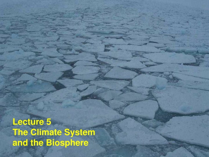
Lecture 5 The Climate System and the Biosphere.

E N D
Lecture 5 The Climate System and the Biosphere
One significant way the ocean can influence climate is through formation of sea ice. Sea ice is much more reflective of sunshine than seawater (has a higher albedo), so the presence of sea ice has a profound influence on how much of the sun’s heat energy the earth absorbs.
Sea ice extent is closely linked to temperature, and exhibits a pronounced seasonal cycle in both hemispheres. Sea ice covers the largest area in late winter, and the smallest area in late summer.
On much longer time scales, vertical motion can occur in the ocean through deep convection, rather than shallow wind-driven overturning. This almost always takes place at high latitudes during the wintertime, when the cold atmosphere extracts huge quantities of heat from the surface ocean. If this process extracts enough heat, the water can become dense enough to sink to the depths of the ocean. Once it sinks, this water spreads throughout the global ocean. Eventually it returns to the surface. This overturning circulation is known as the thermohaline circulation. It typically takes about 1000 years for a chunk of water to sink, flow through the deep ocean, and then return to the surface. This is an indication of how sluggish the deep ocean circulation is.
Because of its high salinity, North Atlantic water is more susceptible to sinking than other waters with the same temperature. This is therefore a major sinking region of the global thermohaline circulation. The Southern Ocean is also a site of deep convection. All of the deep water of the entire ocean originates in one of these two regions.
So how can the ocean influence climate? Short time scales (less than a few years) The contrast in the heat capacity of the land and ocean has a profound effect on our climate’s seasonality and its response to increasing greenhouse gases. The ocean plays a critical role in the El Niño phenomenon, a periodic climate oscillation centered in the equatorial Pacific, and a topic we will come to later on in the course. Long time scales (greater than a few years) Changes in the global thermohaline circulation, which warms the North Atlantic, can affect temperatures in that region. Long-term changes in sea ice coverage can affect the planet’s energy balance. Changes in ocean ecosystems because of ocean circulation changes probably have a large influence on climate on time scales of hundreds to thousands of years. Ocean ecosystems help regulate CO2 concentrations in the atmosphere, and hence the greenhouse effect.
Keep in mind that in our examination of the seasonal variation of surface air temperature, precipitable water, rising motion, and precipitation we’ve been looking at long-term averages, or CLIMATOLOGIES. The day-to-day variations in these quantities can look quite different from the climatology.
Accumulated Precipitation from April 14-20 2005 from the TRMM (Tropical Rainfall Measurement Mission) satellite
Weather vs Climate Weatheris the short-time-scale (< a few days) evolution of the of the atmosphere. Climateis the statistics of weather. Weather prediction. The evolution of the state variables of the atmosphere is governed by nonlinear dynamics (i.e. “chaos”), and is therefore inherently unpredictable beyond a certain period of time. Climate prediction. There is no reason to doubt the predictability of the statistics of weather.
Persistent features of the atmospheric circulation Inter-tropical convergence zone (ITCZ). The east-west-oriented band of intense convection located over the warmest regions of the tropics. Sub-tropics. The large areas of sinking, typically located at about 20° latitude, that compensate for the rising motion of the ITCZ. Little precipitation falls in these regions. Monsoon. A tropical seasonal phenomenon driven by contrasts in land-sea temperature. When the land is warm relative to the ocean, air rises over the land, drawing in moist air from the ocean. Intense precipitation typically follows on land. Mid-latitude jet stream. An intense air current that moves to the east in both hemispheres. The jet stream is turbulent, particularly in wintertime. The eddies it generates are wintertime storms.
We can get a gross measure of biological activity from space by measuring photons that indicate the presence ofchlorophyll, the chemical plants use for photosynthesis. This is done with the SeaWifs satellite instrument. Let’s use these images to relate our understanding of atmosphere and ocean circulation to the distribution of life on earth.
SeaWifs data SeaWifs data