Download
1 / 27
270 likes | 271 Views
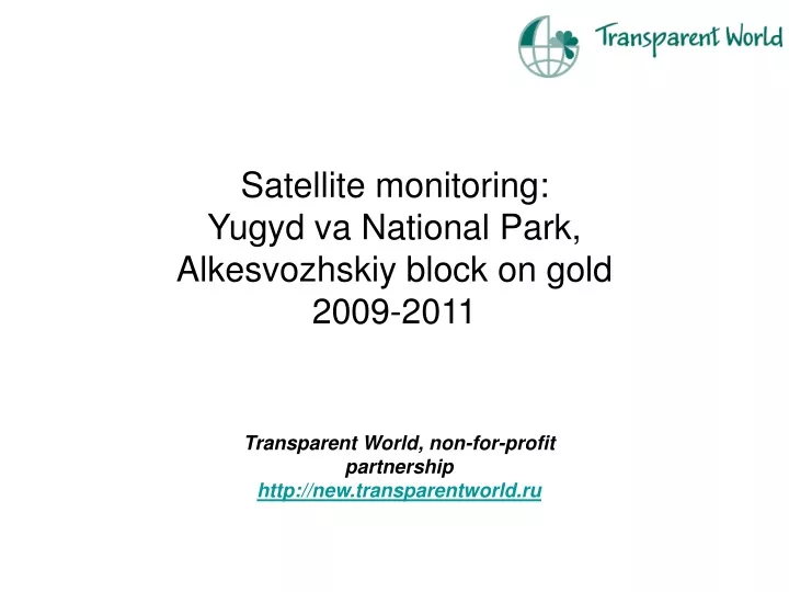
Satellite monitoring: Yugyd va National Park, Alkesvozhskiy block on gold 2009-2011. Transparent World, non-for-profit partnership http://new.transparentworld.ru. Main changes detected by using satellite data:.

E N D
Satellite monitoring:Yugyd va National Park,Alkesvozhskiy block on gold2009-2011 Transparent World, non-for-profit partnership http://new.transparentworld.ru
Main changesdetected by using satellite data: • Consequences of geological prospecting at Nesterovskiy and Chudnoye subblocks of Alkesvozhskiy block on gold are obvious at satellite imagery since 2011, June • High volume of suspended matters eroded from Nesterovskiy subblock cause a great turbidity of Grubependity lake’s water • Anthropogenic transformation is taking place also outside of Nesterovskiy and Chudnoye subblocks (ex: new facilities on the road to Chudnoye subblock)
Landsat 5-4-3 band combination: Clear, deep water is dark (almost black)
Landsat 5-4-3 band combination: Clear, deep water is dark (almost black)
Landsat 5-4-3 band combination: Clear, deep water is dark (almost black)
Landsat 5-4-3 band combination: Clear, deep water is dark (almost black)
Landsat 5-4-3 band combination: Clear, deep water is dark (almost black), sediment-laden or shallow water appears lighter. 3 June-13 July, 2011: high volume of suspended matters entered the lake
25 June-7 September, 2011: Places with detected changes are marked with red arrows
Human activity outside ofthe Nesterovskiy and Chudnoye subblocks: new facilities construction