Download
1 / 16
170 likes | 494 Views
Egypt, Libya, and the Maghreb. http://www.theodora.com/wfb/egypt/egypt_maps.html. Capital: Cairo Mostly desert Less than 4% of land is inhabited Nile River supplies water Empties into Mediterranean, forming the Nile Delta. Egypt’s land and climate.

E N D
Egypt, Libya, and the Maghreb http://www.theodora.com/wfb/egypt/egypt_maps.html
Capital: Cairo • Mostly desert • Less than 4% of land is inhabited • Nile River supplies water • Empties into Mediterranean, forming the Nile Delta Egypt’s land and climate
Silt (small particles of rich soil) was left behind when the Nile flooded • Made land rich for farming
Sinai Peninsula • NE of Nile delta • Suez Canal separates from the rest of Egypt • Canal passes from Med. To Red Sea
Desert areas • Eastern Desert • Libyan Desert covers 2/3 of country • Oasis: fertile or green area in a desert
Desert climate • Cairo only gets .4” of rain a year • Spring brings hot winds that can reach 87 MPH
2% of land used for agriculture but 29% of people work in it • Crops: sugarcane, grains, vegetables, fruits, cotton Egypt’s economy
Industry • AHD provides hydroelectric power • Factories make food products, textiles, consumer goods • Tourism
Became independent from GB in 1952 Republican government The Egyptians
Most people live within 20 miles of Nile Fellahin: peasant farmers Sell extra food at bazaar (marketplace)
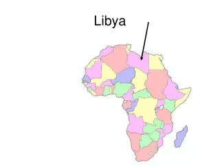
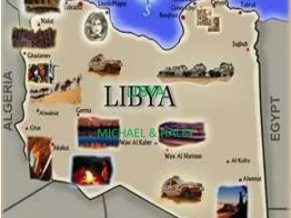
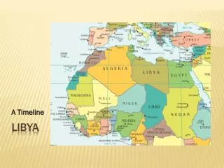
Sahara covers more than 90% • No permanent rivers • Aquifers: underground rock layers that store large amounts of water libya
Mostly Muslim Speak Arabic Capital: Tripoli Dictatorship under Qaddhafi
Mostly Muslim Speak Arabic Smallest country in N. Africa Became independent republic in 1956 Capital: Tunis Tunisia (Maghreb)
Largest country in N. Africa Mostly Muslim Speak Arabic 1962 won independence from France Republic Capital: Algiers Algeria (maghreb)
North- Strait of Gibraltar Constitutional monarchy Capital: Rabat Morocco (Maghreb)