Download
1 / 17
170 likes | 303 Views
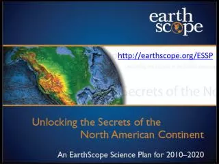
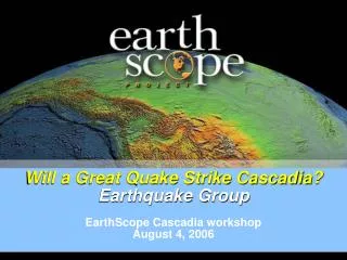
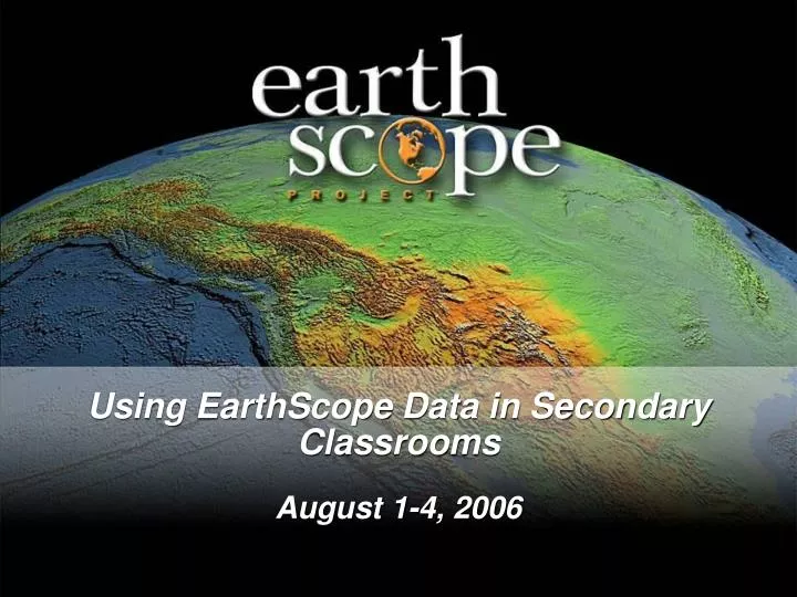
Using EarthScope Data in Secondary Classrooms August 1-4, 2006. Jenelle Hopkins Earth/Environmental teacher Centennial High School; Las Vegas, NV jhopkins@interact.ccsd.net. What is EarthScope?.

E N D
Using EarthScope Data in Secondary Classrooms August 1-4, 2006
Jenelle Hopkins Earth/Environmental teacher Centennial High School; Las Vegas, NV jhopkins@interact.ccsd.net
What is EarthScope? • EarthScope is a coordinated effort to explore the geology of the North American continent at all spatial and temporal scales. • For the next 15 years, instruments will be placed in over 3,000 locations in an effort to record information about the tectonic plates. • Education and outreach will play a central role in its success and will give us an opportunity to reach a new generation of Earth scientists.
EarthScope partners • EarthScope is funded by the National Science Foundation and conducted in partnership with the US Geological Survey. • EarthScope is being constructed, operated, and maintained as a collaborative effort with UNAVCO, the Incorporated Research Institutions for Seismology (IRIS), and Stanford University, with contributions from NASA and several other national and international organizations.
EarthScope Education and Outreach Steering Committee • Our Mission Statement: • To use EarthScope data, products, and results to create a measurable and lasting change on the way that Earth science is taught and perceived in the United States.
Committee members • Chairperson: • Dr. Aaron Velasco University of Texas at El Paso • Debi Kilb • UC San Diego • Linda Lutz-Ryan • National Park Service • Dr. Pricilla Grew • University of Nebraska/Lincoln • Dr. Steve Semken • Arizona State University • Jayne Aubele • New Mexico Museum of Natural History • Dr. Norma Neely • Educational Consultant • Stephanie Stockman • NASA
Five education and outreach goals • Goal 1: Create a high-profile public identity for EarthScope that emphasizes the integrated nature of the scientific discoveries. • Goal 2: Establish a sense of project ownership among scientific, professional, and educational communities and the public. • Goal 3: Promote science literacy and understanding of the EarthScope experiment among all audiences through informal education venues. • Goal 4: Advance formal Earth science education by promoting inquiry-based classroom investigations that focus on understanding Earth and the interdisciplinary nature of the EarthScope experiment. • Goal 5: Foster use of EarthScope data, discoveries, and new technology in resolving challenging problems and improving our quality of life.
Three-pronged approach US Array: Continental scale seismic observatory Plate Boundary Observatory (PBO): GPS instrumentation to measure plate movement San Andreas Fault Observatory at Depth (SAFOD): Deep borehole across the San Andreas Fault measuring conditions under which earthquakes occur
Where do K-12 teachers fit in? • Goal 4: Advance formal Earth science education by promoting inquiry-based classroom investigations that focus on understanding Earth and the interdisciplinary nature of the EarthScope experiment.
How do we bring this project into our classrooms? • We are the bridge between researcher and student. • Listen and understand what the researchers are doing. • Find a way to place EarthScope science in your existing curriculum: • Activities • Lessons • Whole units
Take advantage of place-based learning • Since the project will be all over the US, you will have an opportunity to investigate geologic features unique to your community. • Engage your students in research projects using real-time data generated from EarthScope.
Risk assessment • Goal is not to scare our students • EarthScope research efforts will contribute to mitigating risks from geological hazards • Develop our students’ understanding of the dynamic Earth.
In conclusion • The EarthScope Project is unprecedented, both in its interdisciplinary approach to Earth science and in its scale. • By integrating scientific information derived from geology, geochemistry, seismology, geodesy, and remote sensing, EarthScope will yield a comprehensive picture of the continent (including a time range from milliseconds to millions of years) beyond that which any single discipline has been able to achieve.