Download
1 / 51
520 likes | 848 Views
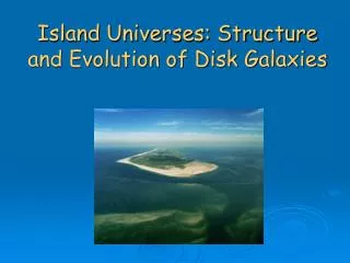
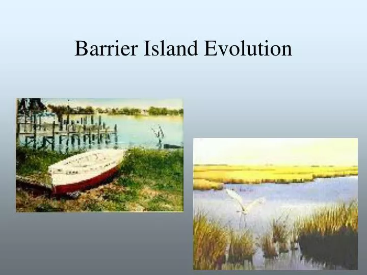
Barrier Island Evolution. Beach Diagram. Introduction. Three main theories of barrier island formation Other theories-plate tectonics Barrier island migration and long shore current Overwash and inlets Man-made attempts to stabilize beaches. Multiple Theories of Barrier Island Formation.

E N D
Introduction • Three main theories of barrier island formation • Other theories-plate tectonics • Barrier island migration and long shore current • Overwash and inlets • Man-made attempts to stabilize beaches
Multiple Theories of Barrier Island Formation • Three original theories were developed between 1845-1890. • Since that time, the theories have been re-examined and it has been determined that all three theories explain the formation of different types of barrier islands • No one theory is correct and new studies have shown that other factors such as plate tectonics, sea level, and tidal ranges also have an effect on the formation of barrier islands
Three main hypotheses for the formation of barrier islands • 1845-deBeaumont-Johnson concept of the emergence of submarine bars • 1885-Gilbert-Fisher idea of spit growth and later breaching by inlets • 1890-McGee-Hoyt hypothesis of beach ridge submergence
Emergence of submarine bars • 1845-deBeaumont suggested that islands such as those found in the North Sea and the Gulf of Mexico were formed by what is known as bar emergence. • Submarine bars are located offshore. When waves come into the shore, they sweep across the shallow bottom and pick up loose sand and deposit it on these bars. The bars grow in size and rise above sea level to become barrier islands.
Emergence Theory • Waves break over a submerged bar • Bar emerges above sea level due to deposited sediment • Bar develops into barrier island and lagoon
Support of deBeaumont • 1919-Douglas Johnson reviewed deBeaumont’s study and supported his hypothesis • Johnson tested emergence and spit formation by drawing profiles across a series of barrier islands. He determined that islands were formed from submerged bars because there was an area of depression in front of the islands. This area of depression provided the sediment needed to build up the bars.
Support of deBeaumont, con’t • He claims that islands formed by submarine bars are common on shorelines with a low slope. A low slope causes the waves to break away from the shoreline and permits the buildup of submerged bars off the coast
Tests of bar emergence and spit formation • Island formed by a spit, profile intersection at coast • Island formed from emerged bar, profile intersection is on the mainland
Against deBeaumont • If barrier islands were formed from the buildup of submerged bars, there should be examples of islands in various stages. This is not the case. • Studies by John Hoyt in 1967 of the sediments of barrier islands in Texas show no beach or open marine sediments on the back side of the island. Barrier islands that were formed from bars should show evidence of marine fossils.
Spit Growth • 1885-Gilbert proposed that barrier islands were formed from spits by currents flowing parallel to the coast-the longshore current. Individual islands were created when the spits were breached by waves during storms, creating inlets.
Spit Formation • Spit starts to grow from point of land • Spit is extended along the coast by longshore currents • Spit is breached during a storm, forming a tidal inlet and barrier island
Support of Spit Formation • 1968-John Fisher agreed with Hoyt that the lack of fossils argues against bar emergence. He studied the lagoons behind barrier islands and concluded if the island was formed from a submerged ridge, there should be evidence of soils or forests that grew behind the ridge. He found no sediments and determined islands must be formed from breached spits.
Refute of spit formation • Hoyt agrees that spit formation is on a limited scale, in small segments of the coast where there is enough sediment supply. He does not believe that this theory supports the growth of large barrier islands. • If an island was formed from a spit, the original marine beach should be preserved along the mainland coast. Hoyt studied the mainland side of lagoons and found no evidence of beach sediment.
Dune-Ridge Submergence • 1890-W.D. McGee suggested that barrier islands were produced by drowning of the coastal area during a rise in sea level
Beach Ridge Formation • Dune ridge along the coast • Rise in sea level starts to submerge dune • Barrier island and lagoon formed from ridge
Support of Submergence • 1967-Hoyt determined from his studies of sediments that islands must be formed by submergence of coastal dune fields or beach ridges. Once the island was formed, waves and the longshore current determined their present-day shape
Other Theories • 1971-Maurice Schwartz published a compilation to draw the theories together to show that there are multiple origins for barrier islands. He stated that there are basically two types of islands: • Primary-islands that were formed on land that is later flooded by the sea • Submergence • Secondary-islands that developed seaward of the primary coast on the continental shelf • Spits and emergence
Role of Tectonics in Formation • Three types of tectonic settings throughout the world: • Trailing Margins • Collision Margins • Marginal Seas
Collision Coast Trailing Edge Coast Blue-Continental Yellow-Neo-trailing Red-Island Arc Pink-Afro-trailing Green-Amero-trailing Ligt Blue-Marginal Sea Coast
Percentages of Islands along Coastlines • Trailing Margins: 49% • Atlantic Seaboard • Collision Margins: 24% • Western Central America • Marginal Sea Coasts: 27% • Baja California
Additional Factors • Three additional factors contributing to formation of barrier islands: • Continental shelf width • Sediment supply • Tectonic setting • Majority of islands are found on trailing margins because all three factors are favorable • However, islands are found on collision and marginal sea coasts because they have a wide coastal plain even though they do not have a wide, flat continental shelf or a history of sediment supply
Barrier Island Migration • The beach system includes the area from the dunes to 30 feet deep offshore. The sand in this system is constantly moving. • Evolution of barrier islands includes: • Sand bars moving up to the beach • Beaches flattening and sand moving offshore • Islands retreating toward the mainland • Islands migrating along the coast • Islands prograding toward the ocean • Inlets opening, closing, or migrating
Movement on the Beaches • Sand is constantly moving due to wind, waves and currents • During fair weather, gentle waves cause a gradual movement of sand bars toward the mainland. • Net movement of sand is onshore • During storms, powerful wind and waves erode the shorelines • Storm surges and waves may pass through breaks in dunes and deposit sand in washover fans behind the dunes • Storms can pull the sand offshore and flatten out the beach • Net movement of sand is offshore
Longshore Current • Waves typically strike a beach at an angle, causing a current to run parallel to the coast • In NC, the longshore current runs from North to South • Longshore current allows sediment to be carried down the beach.
Movement landward • Transgression is the movement of islands landward • Rate of sea level rise overcomes the amount sediment supply • Transgression is caused by waves carrying sediment from the beaches and dunes to the back of the barrier island and depositing it in washover fans. • The natural movement of a barrier island is to migrate landward as sea level rises. • Front side of the island is eroded by wave action • Back side must grows from the buildup of washover
Evidence of Transgression • Studies of sediment on barrier islands show peat, tree stumps, oyster shells and layers of mud on the beach side • Once were part of the marsh, now found on the beach • Marsh has a floor of thick, black mud from the ocean side • As the island rolls back, the beach moves back over the old marsh. Today’s beach is where the marsh used to be. • Island rolls over on itself like a conveyor belt
Movement Seaward • Progradation is the movement of islands seaward • Process is different from transgression because the island itself does not move • Sediment is pushed on shore, building up the ocean side of the island • The addition of sediment causes the development of multiple beach-dune systems • Shoreline on the ocean side moves seaward while the landward back side stays stationary • Brought about by an excess of sediment that can not be carried away by the longshore current
Barrier Island Changes • Barrier islands can experience both transgression and progradation at the same time or change back and forth over time • Barrier islands may change the shape of the shoreline, but generally maintain their position
Movement Parallel to the Coast • Barrier islands may experience erosion on one end and a build-up of sediment on the other end • Migration of inlets can contribute to changes in shape and size of barrier islands
Effects of Inlets • Inlets are important because the are a site of storage and transportation of sand • Sand being carried by the longshore current gets carried into tidal inlets • Inlets move in three general ways
Shifting Inlets • Breathing Inlets expand and contract • Migrating inlets form in one place and migrate with the longshore current • Returning inlets migrate, but may return to their original position
Shell Island • October 1989 May 1990 Average Distance Change=180ft/0.6 yr
Shell Island • November 1993 November1995 Average Distance Change= Average Distance Change= 670 ft/3.6 yrs 440 ft/1.9 yrs
Tidal Deltas • There are two types of deltas: • Ebb tidal delta develops on the ocean side of the island • Flood tidal delta develops on the lagoon side of the island; protected from effects of waves • Built by the sediment deposition that accumulates when a current suddenly slows at the mouth of a channel, losing its carrying capacity
On-line References • http://books.nap.edu/books/030904806/html/70.html#pagetop • http://coastal.er.usgs.gov/hurricanes/dennis/buxton/ • http://members.nbci.com/igorz/MIWO.html • http://www.beachbrowser.com/Archives/Environment/A…/Barrier-Islands-Always-changing.ht • http://www.csc.noaa.gov/products/nchaz/htm/lidtopo.htmhttp://www.lacoast.gov/Programs/CWPPRA/Watermarks/Fall99/barrier.fa99.htm
References • http://www.ncsu.edu/coast/shell/migration/migration.html • http://www.ncsu.edu/coast/shell/terms.html • http://www.salem.mass.edu/~lhanson/gls214/gls214_tec_clas.htm • http://www.seafriends.org.nz/oceano/beacheng.htm#sea%20walls • http://www.seashell.com/kbphotos.htm • http://www.vcrlter.virginia.edu/~bph/NSFTalk/NSFTalk.html