Download
1 / 10
100 likes | 198 Views
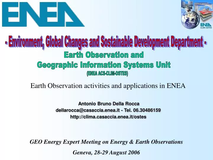
- Environment, Global Changes and Sostainable Development Department -. Earth Observation and Geographic Information Systems Unit. (ENEA ACS-CLIM-OSTES). Earth Observation activities and applications in ENEA. Antonio Bruno Della Rocca dellarocca@casaccia.enea.it - Tel. 06.30486159

E N D
- Environment, Global Changes and Sostainable Development Department - Earth Observation and Geographic Information Systems Unit (ENEA ACS-CLIM-OSTES) Earth Observation activities and applications in ENEA Antonio Bruno Della Rocca dellarocca@casaccia.enea.it - Tel. 06.30486159 http://clima.casaccia.enea.it/ostes GEO Energy Expert Meeting on Energy & Earth Observations Geneva, 28-29 August 2006
ENEA, the Italian National Agency for New • Technologies, Energy and the Environment • is a public undertaking operating in the fields • of energy, the environment and new technologies to support competitiveness and sustainable development. • ENEA is mainly called upon: • to promote and carry out basic and applied research and innovation technology activities, also through prototypes and product industrialization; • to disseminate and transfer technologies, encouraging their use in productive and social sectors; • to provide high-tech services, studies, tests and evaluations to both public and private bodies and enterprises.
Mission and scope of the ENEA Earth Observation and GIS Unit The Unit’s tasks mainly concern design and development of advanced data-processing methodologies for applications of technologies like Aero-spatial Earth Observation (EO), GIS (Geographic Information System) and GPS (Global Positioning System). • The efforts tackle all the R&D problems concerning the comprehensive integration of those technologies in order to design and implement innovative systems (HW and SW) being functional to different final goals. • Those problems include developing of remote sensing image processing algorithms, design and implementation of GIS, planning of: in situ ground-truth measurements; GPS data acquisition; aero-campaign, etc... • The application fields span from global climate research to environmental pollution monitoring, from land use detection to urban planning, etc… • Final users are mostly Italian Public Administration Organisms (Central, Regional and Local). Collaboration with SME, UE and international Organizations is pursued.
Equipment The EDI (ENEA Digital Imagery) system located at ENEA-Casaccia Research Centre. It is a tight integration of numerous work stations, PC’s, devices, proprietary algorithms and SW environments (ERDAS, ESRI, ENVI-IDL, E-Cognition, PCI, etc…), at the technological state of the art. It is specialized in processing geographic raster and vector data Human resources. 15-20 people are in charge. - ENEA researchers (majority) - fellowships, - stages. Human resources, equipmentand know-how Know-how. Remarkable amount of multidisciplinary technical-scientific knowledge and relationships with external Organizations, built up in several years of activity strongly oriented toward EO applications.
Examples of applications NOAA/AVHRR image processing and analysis : Study of the evolution of vegetation coverage within natural areas. QuickBird VHR image processing and classification: Very small urban areas automatic detection and delimitation trough algorithms of image analysis and classification. NOAA/AVHRR LAC: False colour image (resolution 1,1x1,1 km) Red lines: boundaries of buildings agglomerates automatically detected NOAA/AVHRR LAC: NDVI computation (resolution 1,1x1,1 km)
Examples of applications SADE (RIADE) (Sensori Aerospaziali per il monitoraggio dei fenomeni di DEsertificazione ) New sensors ( airborne/satellite) development for desertification processes monitoring ASPIS (Advanced Specral Image System) -Ultralight platform -4 CCD cameras -interchangeable filters - 14 bit dynamic range -GPS ASPIS ultralight platform Sky-Arrow 650 TC ASPIS False Color ortorectified images over IKONOS Pancromatic frame. 15-7-2004 Pantano coastal wood Southern Italy On site measurements for syncronous calibration of airborne and satellite sensors Immagini ASPIS ortorettificate (RE) su pancromatico IKONOS Field radiometric campaign ASD-Fieldspecpro & GPS Ground spectral signatures of Durum Wheat on salinised soils
Examples of applications TRIDENT (Three-dimensional Restitution via Internet of Digital Elevation Networks in Towns) - V FP of the EU Cadastral maps update Design and development of a HW and SW systems for management and update of cadastral data and information, using remote-sensed images. 3D Rome Design and development of a prototype system for organise and manage urban information, based on realistic 3D models of the city. Digital aero-photogrammetry techniques and GIS have been used to generate 3D urban models and to create a VRML photo-realistic description of buildings accessible via internet. Green lines: new buildings detected for cadastral map updating
Examples of applications Satellite remote sensing for State Police needs in Aspromonte (Calabria): Landsat-TM and SPOT-P image processing for optimal location of helicopter landing sites. QuickBird VHR image processing: Delimitation and analysis of Edmonson Point (Antarctica) specially protected area. Coast line Helicopter landing sites: selection by different elevation values Ice free areas 3D view
GIS-ILA (Geographic Information System – Italian Logistics in Antarctica). GIS-ILA has been developed for PNRA Consortium, to increase the management capabilities of Logistics in Antarctica. SITAC(GIS for natural presidential park of Caselporziano). The SITAC, on demand of “Accademia Nazionale delle Scienze, detta dei XL” permits the effective management and the safeguard of the ecosystems in the park. Examples of applications
Conclusions Pursuing cooperation with National and International Organizations concerned with Earth Observation and GIS, the Unit makes available valuable elements like: • Specially equipped systems for spatial data processing and well skilled human resources for using them; • Notable and qualified amount of know-how about EO applications; • Front end to the very numerous Institutions of the Italian P.A. that need EO applications.