Download
1 / 28
280 likes | 371 Views
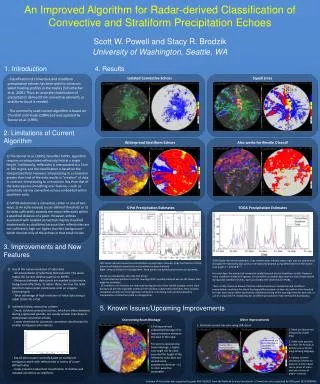
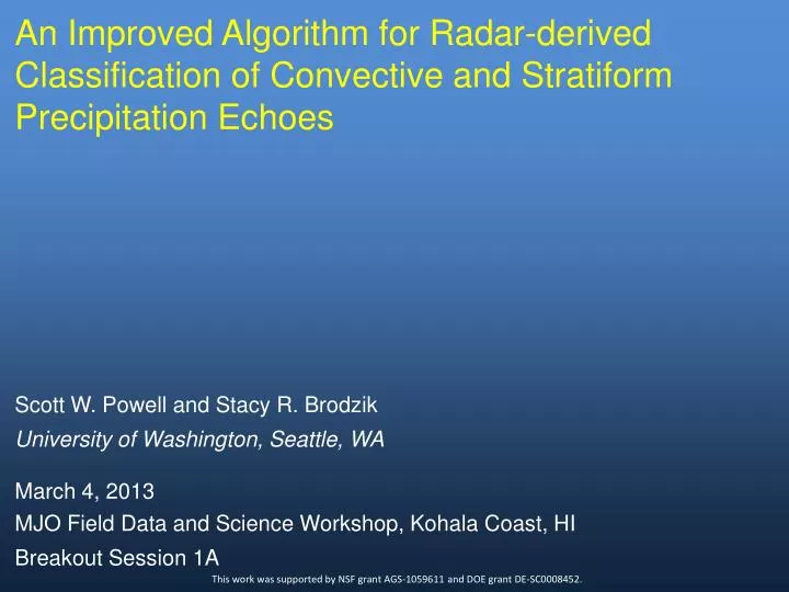
An Improved Algorithm for Radar-derived Classification of Convective and Stratiform Precipitation Echoes. Scott W. Powell and Stacy R. Brodzik. University of Washington, Seattle, WA. March 4, 2013. MJO Field Data and Science Workshop, Kohala Coast, HI. Breakout Session 1A .

E N D
An Improved Algorithm for Radar-derived Classification of Convective and Stratiform Precipitation Echoes Scott W. Powell and Stacy R. Brodzik University of Washington, Seattle, WA March 4, 2013 MJO Field Data and Science Workshop, Kohala Coast, HI Breakout Session 1A This work was supported by NSF grant AGS-1059611 and DOE grant DE-SC0008452.
Why we need a new/improved algorithm • Steiner et al (1995; SHY95) requires an interpolated dataset. • A standard 2 km interpolation, or even higher resolutions, “creates” data. This is bad. • Small, isolated convective echoes can be completely missed by SHY95.
Fixing the problem • Use the native resolution of the dataset, taking advantage of the high resolution typical along radials. • Easy gridding onto irregular Cartesian grid for determining distance between data points. R (highest spatial resolution) 1. (R,Φ) -> (X,Y) 2. Determine distance between red box and all other data points. Yellow boxes represent those within specified distance. Φ
Fixing the problem • Use the native resolution of the dataset, taking advantage of the high resolution typical along radials. • Easy gridding onto irregular Cartesian grid for determining distance between data points. • Shallow convection scheme
(Soon) Upcoming Improvements • Beam blockage (forAddu radars) - Mask out Addu City completely - Eliminate second-trip echo. - Update shallow convection scheme.
S-Pol Hybrid rain rate TOGA Single Z-R (tentative) Z = 129.56 R1.37
Improved stratiform fraction during suppressed periods
Availability/Suggestions • Only input currently accepted is CFRadial. • Code currently only written for usage with MATLAB. • How to make easy-to-use for most users? • Other suggestions/concerns?