Download
1 / 13
130 likes | 311 Views
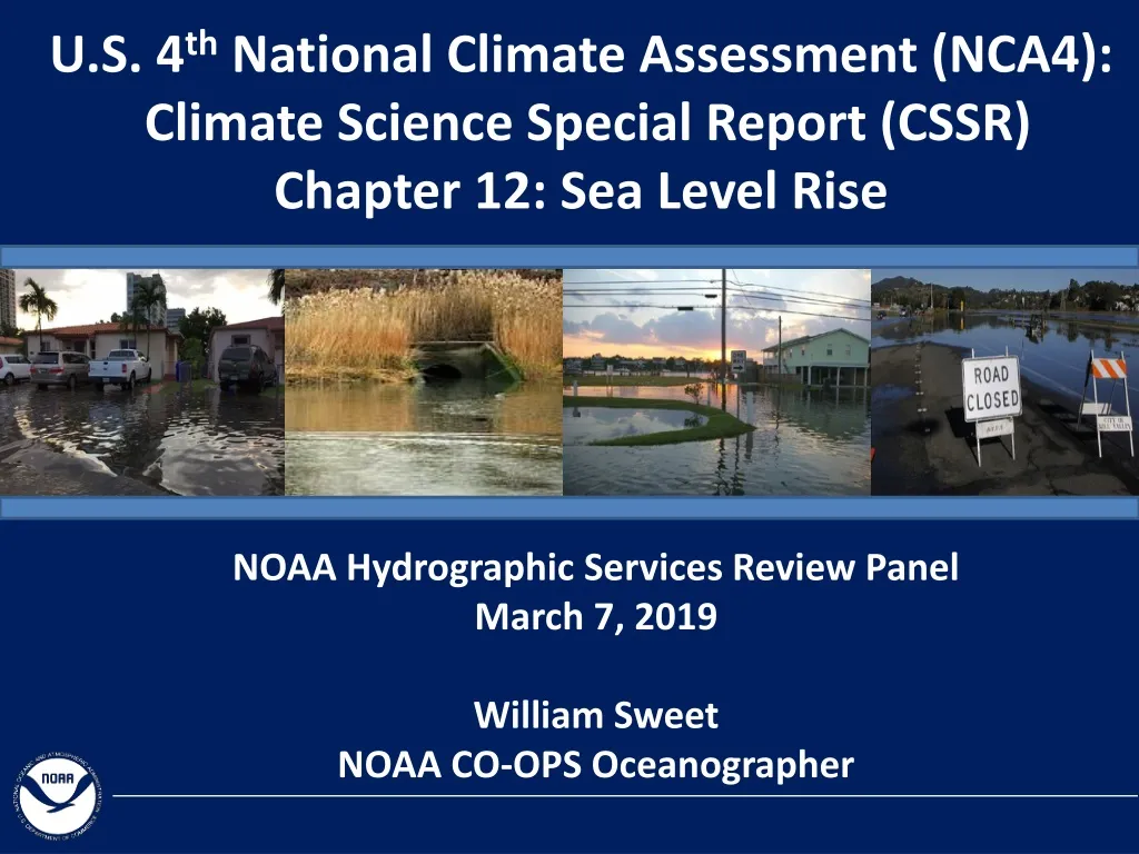
U.S. 4 th National Climate Assessment (NCA4): Climate Science Special Report (CSSR) Chapter 12: Sea Level Rise. NOAA Hydrographic Services Review Panel March 7, 2019 William Sweet NOAA CO-OPS Oceanographer.

E N D
U.S. 4th National Climate Assessment (NCA4): Climate Science Special Report (CSSR)Chapter 12: Sea Level Rise NOAA Hydrographic Services Review Panel March 7, 2019 William SweetNOAA CO-OPS Oceanographer
Global mean sea level has risen by about 16-21 cm (7-8 in) since 1900, with about 7 cm (3 in) occurring since 1993. Wuebbles et al. (2017): CSSR Chapter 1
The rate of rise since 1900 is faster than during any preceding century in at least 2,800 years. In large part due to human-caused warming Sweet et al. (2017): CSSR Chapter 12
Global & Local Relative Sea Level Rise (SLR) NOAA Relative Sea Level Trends Relative SLR = 𝛥 Ocean Height – Vertical Land Motion Altimeter Current rates of SLR are not uniform around the globe and will not be in the future Grace + Argo Historical trends are not considered future guidance for risk planning purposes!!! • Current ocean rise: • thermal expansion (1/3) • land ice melt (2/3) • This is a departure of 20th century component ratio Grace Argo Sweet et al. (2017): CSSR Chapter 12
1960s 2010s The Accelerating Threat of Tidal Flooding Major Moderate Minor (Nuisance) Norfolk, VA Highest Daily Tides in a Year (Probability) SLR
An Accelerating Trend of Tidal Flooding Norfolk, VA Sweet and Park (2014) Quadratic Fit
Tidal Flooding Trends: A Growing National Problem 5-10 fold increase in flood frequencies since 1960s in several locations Minor Tidal Flooding (Days / Year) Sweet et al. (2017): CSSR Chapter 12
What does the Future Hold? Future Possible SLR RCP8.5 Global sea level reconstructions of 6-9 m during the Last Interglacial is possible long-term response to the minimum temperature change projected for this century. Sweet et al. (2017): CSSR Chapter 12
NCA4 Global SLR Scenarios for the U.S. The SLR scenarios contextualized in terms of probabilistic projections of Kopp et al., 2014 240 cm 180 cm 120 cm 60 cm Sweet et al. (2017): CSSR Chapter 12
NCA4 SLR scenarios localized to 1° grids for the U.S. coastline Relative Change by 2100 under the Intermediate Scenario • Includes changes in: • Ocean circulation • Earth’s gravitational field & rotation • Vertical land motion Change in Sea Level (feet) 1 m [3.3’] global rise Sweet et al. (2017): CSSR Chapter 12
2010s Today’s ‘Freeboard’ and NCA4 SLR Scenarios Norfolk, VA 5-year Event 5/year Event Highest Daily Tides in a Year (Probability) Sweet et al. (2017): CSSR Chapter 12
SLR Time Horizon for Impending Impacts Water Level (feet) with a 5-year Recurrence Interval (approximates NOAA Coastal Flood Warning Level) Feet above MHHW
With about 0.35 m of local SLR (since 2000) on average, coastal flooding triggering NOAA coastal flood warnings will increase 25-fold. This is ‘likely’ sometime between 2040 and 2060 under the Intermediate and Int. Low Scenarios. In reality, both rising tides and heavier rainfalls are of concern… Norfolk, VA: Oct 10, 2016 Hurricane Matthew Flooding Tide Gauge: 0.9 m [3’] MHHW Photo: Bill Tiernan |Virginian-Pilot