Download
1 / 39
400 likes | 608 Views
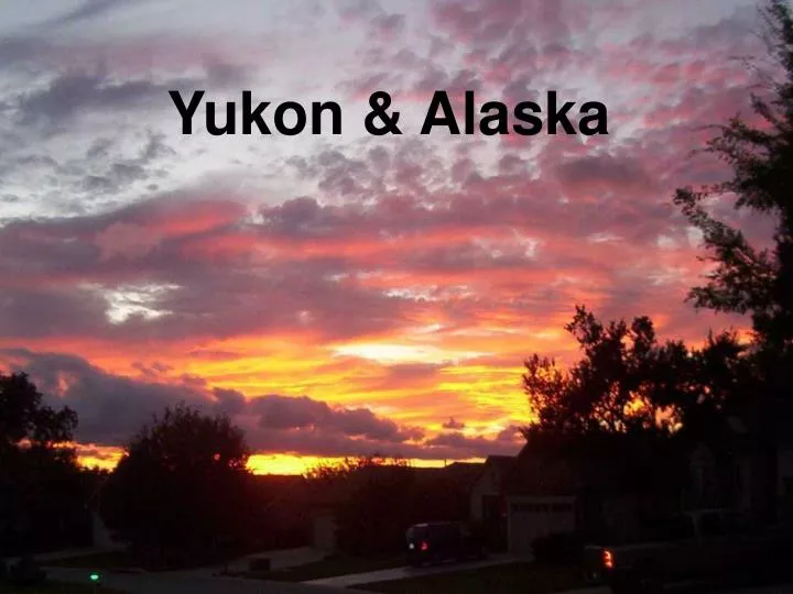
Yukon & Alaska. Our Route in Canada & Alaska. Yukon: Drainage Divides. Peel River Drainage Area. Mackenzie River Drainage Area. Yukon River Drainage Area. Yukon Natural Resources. Yukon Natural Resources. Topographic Map: Yukon & NW Territory.

E N D
Yukon: Drainage Divides Peel River Drainage Area Mackenzie River Drainage Area Yukon River Drainage Area Yukon Natural Resources
Topographic Map: Yukon & NW Territory A continuation of the Mountains of BC
Fault Bounded Regional Geologic: Mountains of BC and Yukon On into Alaska
Complex collage of Mountain Ranges The Siberian Connection
Now Beringia: the Connection of Siberia to Alaska
Beringia: the Connection of Siberia to Alaska Ages of Oceanic Crust Oceanic Crust like Gulf of Mexico Geosyncline Beringia Future major oil province? Shared with Russia! Oldest 150 mm years Youngest Present
Major Rivers of Beringia Figure 30. Map of the Bering land bridge during the late Wisconsin glaciation, when global sea level dropped to about 120 meters or more below its present position. This exposure of huge areas of the shallow continental shelf provided a broad land connection between northeastern Asia and unglaciated parts of Alaska and Yukon. This land bridge allowed many plants and animals to spread between the Asian and American continents.
What will we know in 2025? See you then!
Depth color key: blue = 0-33km, green = 33-75km, red = 75-125km, yellow = 125+km http://www.aeic.alaska.edu/html_docs/faq.html
Depth color key: blue = 0-33km, green = 33-75km, red = 75-125km, yellow = 125+km
A A’
Wrangellia collided and amalgamated with the Alexander Terrane by Pennsylvanian time. By the end of the Triassic Period, the Peninsular Terrane had also joined the Wrangellia CT. A subduction zone existed on the west side of Wrangellia. Seafloor rocks too light to be subducted were instead compressed againgst the western edge of Wrangellia; these rocks are now known as the Chugach Terrane. A complex fault system, known as the Border Ranges Fault, is the modern expression of the suture zone between Wrangellia and Chugach Terranes. Over time, plate tectonics moved this amalagamation of crust generally northeastward into contact with the North American continental margin. The Wrangellia CT collided with and docked to North America by Cretaceous time. Strike-slip displacement, with Wrangellia travelling northward, continued after docking, although the amount of post-accretion displacement is controversial
The few parts of Alaska that existed at this time were at much warmer latitudes. The Alexander and Wrangellia Terranes were forming near the equator, somewhere to the west of North America. Back
The Wrangellia CT approaches North America in the vicinity of California and Oregon, which don’t yet exist. North America itself has moved farther north than it is today. What will become northern Alaska begins to split and rotate away from northern Canada. Back
The Wrangellia CT approaches North America in the vicinity of California and Oregon, which don’t yet exist. North America itself has moved farther north than it is today. What will become northern Alaska begins to split and rotate away from northern Canada. Back
Fault Bounded Regional Geologic “Belts” of BC and Yukon
Figure 30. Map of the Bering land bridge during the late Wisconsin glaciation, when global sea level dropped to about 120 meters or more below its present position. This exposure of huge areas of the shallow continental shelf provided a broad land connection between northeastern Asia and unglaciated parts of Alaska and Yukon. This land bridge allowed many plants and animals to spread between the Asian and American continents.
Figure 38. Map of central Beringia during deglaciation, when melting of glacier ice caused sea level to rise, gradually flooding the land bridge. In this map, much of the land bridge was flooded when sea level rose to 40 m below its present position. At this stage of flooding, the land connection between northeastern Asia and Alaska was severed near Bering Strait. Compare this map with full glacial conditions and lowest sea level position in Fig. 30. The approximate shoreline positions shown on this map would have developed by about 11,000-10,500 radiocarbon years ago.