Download
1 / 11
110 likes | 264 Views
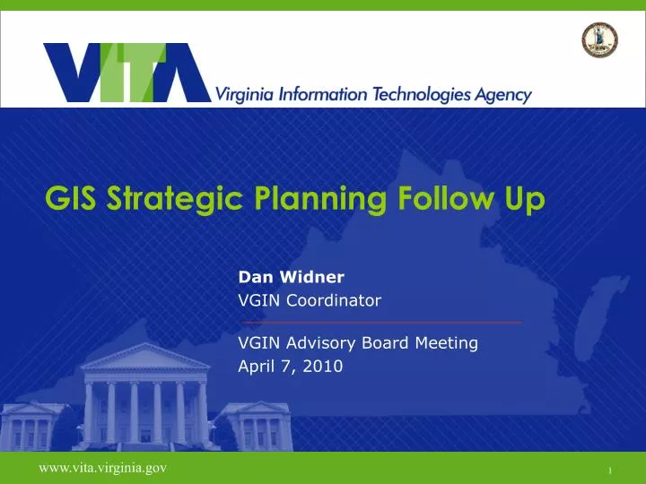
GIS Strategic Planning Follow Up. Dan Widner VGIN Coordinator VGIN Advisory Board Meeting April 7, 2010. www.vita.virginia.gov. 1. 5 Year GIS Strategic Plan Follow-up. Discussion Topics Establishing a Process Proposing a Structure Prioritization Board Involvement. Strategic Process.

E N D
GIS Strategic Planning Follow Up Dan Widner VGIN Coordinator VGIN Advisory Board Meeting April 7, 2010 www.vita.virginia.gov 1
5 Year GIS Strategic Plan Follow-up Discussion Topics • Establishing a Process • Proposing a Structure • Prioritization • Board Involvement
Strategic Process • Use 2010 to develop strategies and test drive • Identify “champions” in each category where possible • Leverage interest in workgroups to help where resources are lacking • VGIN Board members • Local/state/federal government • University, non-profit and private sector • Report progress annually to the VGIN Board • Tie to new administration’s “user friendly” government where possible
Structure • “Framework Initiative Action Teams”: FIAT FIAT Etymology: (Latin) let it be done, “fieri” to become, be done • Framework themes and FIAT • e.g. Administrative Boundaries FIAT • Diversity in representation and workable size • 4-8 members ideally • Provide ability to accommodate more if interest level dictates • Utilize technology to hold meetings (telecon, webex, etc.)
Structure – FIAT Lifecycle • Publish call for participation • Establish membership and charter • Develop prioritized work plan • Work the plan • Report progress to VGIN Board through VGIN Coordinator • Close out workgroup when complete
About Standards… • Developed by each FIAT for their particular theme. • General approach is to start at a high level, simple statewide data standard that provides: • 1) a method for localities and state agencies to share minimum, essential data, and • 2) a standard that will provide the mechanism for clearinghouse inputs and outputs connectivity. The objective is to be able to move fairly quickly with a state standard for practical use in the clearinghouse.
Rolling FIAT Schedule • Elevation FIAT: first due to the Lidar activity • GIS Education and Advocacy & Outreach • VGIN Advisory Board for Champions to help lead these ? • A Clearinghouse work group will be established and start with low hanging fruit. • Administrative Boundaries FIAT will get organized Q3 • 2010 concludes with the annual Strategic Plan progress report to the VGIN Advisory Board • 2011 will see the initiation of the Cadastral/Parcel FIAT
Prioritization • Assume limited resources • Establish milestones/deliverables • Quarterly for next biennium • Annually years 3-5 • Tie resources to milestones • Include business benefits
Core Components: Goals and Initiatives GOAL 1: Coordination and Collaboration • Provide greater coordination and facilitate collaboration within the geospatial community Initiative 1: Develop and maintain geospatial standards Initiative 2: Oversee the development of a Commonwealth-wide geospatial clearinghouse that connects all levels of government and other VGIN stakeholders GOAL 2: Communication • Increase communication and outreach to the general public, decision makers, and the geospatial community Initiative 3: Facilitate geospatial educational opportunities Initiative 4: Provide marketing advocacy and outreach by acting as the primary champion of GIS in Virginia GOAL 3: Creative Services • Continue to create a platform for spatial solutions in the Commonwealth Initiative 5: Provide framework basemap data layers to augment the current orthophotography and road centerline data layers Initiative 6: Identify and develop innovative technical solutions
Core Components: Goals and Initiatives GOAL 1: Coordination and Collaboration • Provide greater coordination and facilitate collaboration within the geospatial community Initiative 1: Develop and maintain geospatial standards Initiative 2: Oversee the development of a Commonwealth-wide geospatial clearinghouse that connects all levels of government and other VGIN stakeholders GOAL 2: Communication • Increase communication and outreach to the general public, decision makers, and the geospatial community Initiative 3: Facilitate geospatial educational opportunities Initiative 4: Provide marketing advocacy and outreach by acting as the primary champion of GIS in Virginia GOAL 3: Creative Services • Continue to create a platform for spatial solutions in the Commonwealth Initiative 5: Provide framework basemap data layers to augment the current orthophotography and road centerline data layers Initiative 6: Identify and develop innovative technical solutions
VGIN Advisory Board Involvement GOAL 2: Communication • Increase communication and outreach to the general public, decision makers, and the geospatial community Initiative 3: Facilitate geospatial educational opportunities Initiative 4: Provide marketing advocacy and outreach by acting as the primary champion of GIS in Virginia Other areas of interest or suggestions for involvement?