Download
1 / 21
280 likes | 654 Views
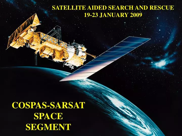
SATELLITE AIDED SEARCH AND RESCUE 19-23 JANUARY 2009. COSPAS-SARSAT SPACE SEGMENT. Introduction. Search and Rescue Satellite Aided Tracking (SARSAT) satellites Space segment assets and on-board instruments Advantages of each satellite system Satellite launch schedule

E N D
SATELLITE AIDED SEARCH AND RESCUE 19-23 JANUARY 2009 COSPAS-SARSAT SPACE SEGMENT
Introduction • Search and Rescue Satellite Aided Tracking (SARSAT) satellites • Space segment assets and on-board instruments • Advantages of each satellite system • Satellite launch schedule • Future satellite systems
Satellites Types Two types of operational satellites: Low-Earth orbiting (LEO) satellites orbiting at ~ 850 km Geosynchronous Earth orbiting (GEO) satellites orbiting at ~ 35786 km
LEOSAR Satellites COSPAS SARSAT
LEOSAR Satellites • Polar orbiting and 101-105 min. per orbit • Orbit is 850 km in altitude • Earth rotates 25 degrees longitude per orbit • Provides global coverage twice per day • Presently, 6 operational (S7, S8, S9, S10, S11 & S12 3 distinct orbit planes w 2 satellites in each plane
GEOSAR Satellites Indian National Satellite (INSAT) Meteosat Second Generation (MSG) Geosynchronous Operational and Environmental Satellite (GOES)
GEO Satellite and SAR Instrument MSG Satellite SAR Instrument
Advantages ofLEOSAR System over the GEOSAR System • Locates beacons using Doppler shift processing. GEOSAR system does not have Doppler capability. • Locates 406 MHz beacons. GEOSAR system only detects 406 MHz beacons. • Provides global coverage for 406 MHz. GEOSAR system does not cover the polar areas. • Provides improved detection probability for obstructed beacons. • Receives higher power levels from beacons, which increases the probability for beacon detection.
Advantages ofGEOSAR System over the LEOSAR System For 406 MHz beacons only: • Near instantaneous detection. • Near instantaneous location determintation for beacons with GPS capacity • Continuous monitoring of ~1/3 of Earth’s surface • Has a 46 minute mean time ‘advantage’ for first detection
Space Segment Providers and On-Board Instruments • LEO Space Segment and Instrument Providers • SARSAT • Canada – Search & Rescue Repeater (SARR) • France – Search & RescueProcessor (SARP) • U.S. – Satellites • Europe (Eumetsat) – Satellites • GEO Space Segment and Instrument Providers • U.S. – GOES (East and West) – Repeater (SARR) • India – INSAT-3A – Repeater – Repeater (SARR) • Europe (Eumetsat) – MSG – Repeater (SARR)
Search and Rescue Repeater (SARR) LEO “BENT PIPE” • LEOSAR • Receives at 121.5, 243, and 406 MHz frequency, then transmits a multiplexed downlink signal at 1544.5 MHz (RCP). • No on-board position processing is performed. • GEOSAR • Receives only at 406 MHz and re-transmits at 1544.5 MHz (LCP). • No on-board processing is performed.
Search and Rescue Processor (SARP) w/On-Board Memory • SARP • Only on-board the LEO Satellites • Digitally extracts the beacon ID • Measures the signal’s carrier frequency and time tags the measurement • Immediately puts the received 406 MHz beacon uplink message into the continuous 2.4 kbps memory data stream transmission • On-Board Memory • Stores all of the received and previously processed data • Is completely transmitted (about every 3 minutes)on a continual basis • Once memory is completely filled, oldest data is purged as new is entered 406 MHz Beacon SAR Processor
LEO Local and Global Coverage Global Coverage is achieved when detections are stored on board the satellite for re-broadcast later when visibility exists between satellite and LUT. Local Coverage Local Coverage Global Coverage Local Coverage is detection of a beacon required when mutual visibility between beacon, satellite and ground station (LUT) exists.
Determining Beacon Locations From LEO Doppler Data GEOMETRY FOR OVERHEAD PASS T2 850 km 3400 km T1 T3 Distress Beacon DOPPLER SHIFT CAUSES FREQUENCY TO APPEAR HIGHER THAN ACTUAL Frequency TIME OF CLOSET APPROACH (AND ACTUAL FREQUENCY) High DOPPLER SHIFT CAUSES FREQUENCY TO APPEAR LOWER THAN ACTUAL Actual Low Time T3 T1 T2
Resolving Ambiguity 1A 1B, 2A 1A 2B 1 2 Two Pass Solution for a Beacon Located in Brazil LEGEND: ground tracks of successive spacecraft orbits 1A, 1B Real and Image solutions from pass 1 2A, 2B Real and Image solutions from pass 2 1 2
Beacon Power Levels with Distance • Because LEO satellites are much closer to the beacon than GEO satellites, LEO satellites receive higher power levels, which increases signal strength and the probability of beacon detection.
Use of GPS in Location Protocol Beacons 4 GPS Satellites C/S Satellites 406 MHz Message with Embedded GPS location LUT >15% of beacons are Location Protocol
Use of GPS in Location Protocol Beacons GPS Satellites • 24-satellite constellation • 4 satellites in view at all times • Minimum of 3 satellites needed to compute locations. Additional satellites improve accuracy. • Transmit time and orbital data 4 GPS Satellites C/S Satellites 406 MHz Message with Embedded GPS location 406 MHz Beacon with GPS Receiver • Uses satellite-beacon time difference to calculate distance from each GPS satellite • Uses GPS satellite orbital data and distance from beacon to calculate beacon location. • Encodes location in 406 MHz message. LUT
Future Cospas-Sarsat Satellite Constellations-MEOSAR C/S MEO Satellites • Distress Alerting Satellite System (DASS) (U.S.) • Galileo (Europe) • Glonass (Russia)
Questions? Mickey.Fitzmaurice@noaa.gov 301-817-4434