Download
1 / 21
220 likes | 374 Views
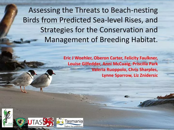
Assessing the Threats to Beach-nesting Birds from Predicted Sea-level Rises, and Strategies for the Conservation and Management of Breeding Habitat.

E N D
Assessing the Threats to Beach-nesting Birds from Predicted Sea-level Rises, and Strategies for the Conservation and Management of Breeding Habitat. Eric J Woehler, Oberon Carter, Felicity Faulkner,Louise Gilfedder, AnniMcCuaig, Priscilla Park Valeria Ruoppolo, Chris Sharples, Lynne Sparrow, Liz Znidersic
Project context • Beaches are critical nesting, feeding and roosting (resting) habitats for resident shorebirds and some seabirds. • Sea level rises will reduce the extent of, and alter the distribution of sandy beaches, compounding existingpressures on these species.
Why shorebirds? • Shorebirds provide excellent signals on the state of health of coastal ecosystems • “coastal canaries”
Project aims • Integrate data on bird nesting sites with coastal vulnerability assessment for predicted sea-level rises of 60, 80 and 100cm. • Develop tools for coastal managers to identify priority sites and appropriate coastal management strategiesto protect beach-nesting birds.
Data sets – shorebirds • > 200 sandy beaches • > 520 site visits • > 1000km surveyed • > 3200 GPS data points (nests, territories or tern colonies) • > 6500 nesting shorebirds
Data sets - Smartline • Single segmented line for Australian coastline (including many islands), incorporating topography and geomorphology to classify coastal areas. • Created to identify areas threatened by erosion fromsea-level rise. • www.ozcoasts.gov.au/coastal/introduction.jsp
Data sets – Coastal Inundation Mapping • Coastal inundation mapping based on LiDAR data • 1m x 1m grid cells • 25cm vertical accuracy
Considerations • Beach geomorphology and local processes will influence response to sea-level rise (not all beaches are equal). • Presence of infra-structure may prevent beach migrating inland.
Considerations • Storm surges and extreme events not included. • Species’ conservationstatus needs to be included(not all birds are equal).
Limitations to approach • Approach constrained by data availability (timing of surveys) and data currency (nest data can rapidly become obsolete due to massive pressures on coastal areas, loss of breeding birds). • Nests not constructed in same site each year –undertake analyses with territories and seabird colonies.
Limitations to approach • LiDAR data for coastal margin is relatively expensive, Smartline is free, varying cost for bird data. • Predicted increased frequency of storm surges and extreme events will confound simple model predictions (a single stormevent can result inextensive coastal erosion or recession).
Benefits of approach • Transparency from simple approach to identify species and sites likely to be threatened by sea-level rises. • Implicit recognition that coastal areas are critical habitats, and not a ‘resource’. • Proactive rather thanreactive approach – always cheaper.
Benefits of approach • Approach allows for adaptive management of coastal areas as increasing and/or more current data become available. • Management and conservation priorities can be varied to assess various sea-level scenarios. • Universal applicability.
Acknowledgements • Numerous PWS staff in Tasmania for logistic support. • Co-authors for their patience and willingness to collaborate. • NRM South for the invitation to present. eric.woehler@gmail.com eric.woehler@utas.edu.au