Download
1 / 16
160 likes | 350 Views
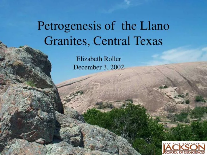
Petrogenesis of the Llano Granites, Central Texas. Elizabeth Roller December 3, 2002. Topics to be Covered. Geologic setting Why do we care? Creating a map Creating a dataset Problems encountered Further work. Tectonic Setting. Grenville Orogeny - ~1.2.-1.1 Ga

E N D
Petrogenesis of the Llano Granites, Central Texas Elizabeth Roller December 3, 2002
Topics to be Covered • Geologic setting • Why do we care? • Creating a map • Creating a dataset • Problems encountered • Further work
Tectonic Setting • Grenville Orogeny - ~1.2.-1.1 Ga • Nearly every continent has an orogenic belt dating to the Grenville time period • Llano is the southernmost extent of the Grenville in the continental US. From Patchett and Ruiz, 1989
Tectonic Setting, cont. From Mosher, 1998
Late to Post Tectonic Granites • Cover over 42% of the Llano Uplift • Data implies intrusion during the waning stages of orogenesis. • Origin is poorly known Granites in the Llano Uplift From Reed, 1999
Why do we care? • These types of granites (A-type) are found associated with many other orogenic belts. • A debate exists on the genesis of A-type granites • Radioactive isotope analyses (Sm-Nd, Rb-Sr, Pb-Pb) can constrain formation mechanisms • Very little isotopic data exists for this area
Creating a Map • No digital geologic map exists for the Llano uplift area • The following were available to mepaper geologic map geospatially oriented raster of ½ the above map CAD drawing Texas zip code map (GIS File) • Used the ‘Transformations’ tab under ‘Properties’ to crudely orient CAD drawing
Unoriented CAD drawing with very nice layers and fault lines and full coverage Oriented raster file with no layers and only half coverage
Two point transformation utilizing two points where the coordinates were known on both the CAD drawing and the raster file.
I wanted to put the following in my dataset for each sample collected: Existing geochemical data Existing isotopic data, including U-Pb dates Geospatial Data Creating a Dataset BACK to GIS Project
This was accomplished by exporting an excel file to a .dbf file, and then using the display X-Y data function.
Distribution of Rare Earth Elements within the High Y, Zr granites Graph of the distribution of the Rare Earth Elements within one of the types of granites
Problems Encountered • The two-point transformation did not work as well as I would have liked – and the raster plot only has half the data of the CAD drawing • A few of my X-Y data plotted off the map, which was easily fixed by going back into the data and manually fixing the points.
Further Work • Obviously, fix the poor fit of the CAD drawing to the raster plot needs to be fixed. • Geo-referencing more points? • More data within the sample points