Download
1 / 68
680 likes | 794 Views
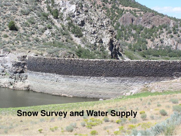
Snow Survey and Water Supply. How the past 6 years have felt. How we are feeling this year. A brief History of Snow Surveys This is Doctor James E. Church, the Father of Snow Surveys….

E N D
A brief History of Snow Surveys This is Doctor James E. Church, the Father of Snow Surveys…. Notice that while he is rough, tough and ruggedly handsome, (slightly demonic) he does not appear to be independently wealthy, traditions that snow surveyors today also honor.
1917 - California Dept of Eng 1919 - Nevada coop snow survey est 1920 - Washington water and power 1923 - Utah coop snow survey est 1928 - Oregon coop snow survey est 1929 - California coop snow survey est
Approximate year that numerical water supply forecasts began. ----------------------------------------------- CA/NV 1922 Utah 1936 Oregon 1937 Columbia in Canada 1941 Idaho 1941 Washington 1942 Wyoming 1942 Colorado/N Mexico 1947 Montana 1948 Arizona 1951 Alaska 1987
In the fantastic old days, skiing was the primary access to snow courses
Ski’s, horses and snowshoes gave way to a whole generation of over snow transportation… because we found that work is still work, even if it is on ski’s… and faster means of transportation was necessary.
We move a little faster with today's transportation! But you still have to be very careful not to lose your head!
These snow surveys, 3 times per year are great for determining aggregate water supply – how much total water!
Klamath Basin in Oregon, 2002 – dry lakes and canals, irrigation cut off – farms and orchards lost!
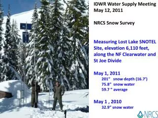
In order to get an accurate depiction of short term climatological/meteorological events, you need a better snowpack picture than just 3 measurements per year… Enter: SNOTEL – late 70’s
SNOTEL is a set of telemetered stations that give us hourly data on: snow water equivalent, precipitation, temperature, snow depth and in some cases, soil moisture and temperature! Lightning Ridge SNOTEL site, near Causey Reservoir, installed the summer of 2004.
Snotel allows the prediction of daily or sub-daily streamflow – for all kinds of applications… FLOODS – PEAK FLOWS – LOW FLOWS - DURATION We can track snowmelt at all elevations… it gives us greater predictive capability with regard to streamflow…
Midway Valley – 57 inches of SWE, previous max was 52 inches
Gutz Peak Precip and Snow - almost 55 inches of precipitation this water year, more than any other site in Utah!
Snow isn’t the whole story…. There are other factors that influence runoff.