Download
1 / 14
140 likes | 258 Views
Groundwater. Springs, Wells, and Aquifers. Movement and Storage of Groundwater. The Hydrosphere: water on and in Earth’s crust. 97% contained in the oceans 3% of this water contained by landmasses (nearly all freshwater)

E N D
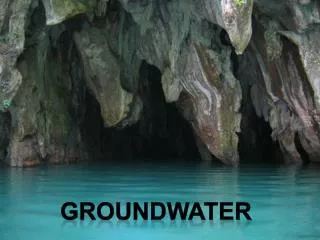
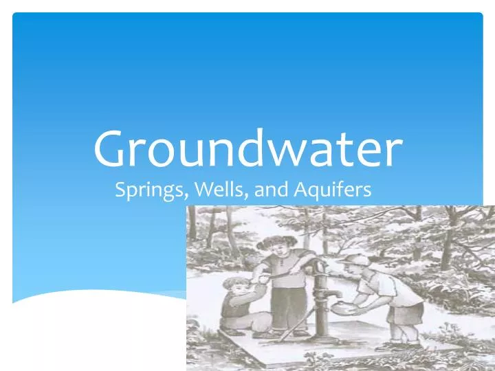
Groundwater Springs, Wells, and Aquifers
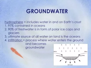
The Hydrosphere: water on and in Earth’s crust 97% contained in the oceans 3% of this water contained by landmasses (nearly all freshwater) More than 90% of freshwater on Earth in the form of polar ice caps and glaciers Remaining freshwater is groundwater Rivers, streams, lakes only small portion of Earth’s freshwater
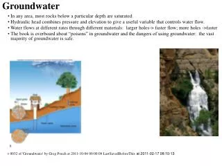
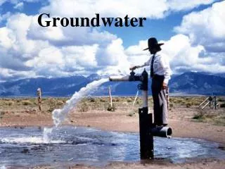
Precipitation and Groundwater Evaporation of ocean waters, forms clouds/precipitation, weather systems and winds move this moisture build up all over Earth Falls to land and enters ground through infiltration, becoming groundwater (solid precip. stays for longer periods of time until melting) Groundwater move through ground, returns to surface via springs, then flows back to oceans.
Groundwater Storage: Where does the water go? Subsurface materials contain pores; percentage of pore space in material called porosity Range 2-3% to more than 50% (sand) Large quantity of groundwater are stored in the pore spaces of rocks and sediments
The Zone of Saturation Def: depth below Earth’s surface at which groundwater completely fills all the pores of a material Upper boundary of this zone= water table Only the water in the zone of saturation is called groundwater
The Water Table Depth varies with local conditions Stream valleys groundwater close to surface; water table only few meters deep Hilltops/arid regions tens to hundreds meters deep Water table fluctuates with season and weather conditions because of its dependence on precipitation
Groundwater Movement Flows downhill in direction of slope of the water table Moves extremely slow because the water has to travel through numerous tiny pores Ability of material to let water pass= permeability Large connected pores= high permeability (sand and gravel) Silt and clay=tiny pores=impermeable Steeper slope of water table= higher velocity of groundwater
Aquifers Most groundwater flows through permeable layers known as aquifers Aquicludes: barriers to groundwater flow
Dissolution By Groundwater Dissolution and formation of calcium carbonate play role in formation of limestone caves Cave: natural underground opening with connection to Earth’s surface Formed when groundwater dissolves limestone Most develop in the zone of saturation just below water table
Karst Topography Sinkhole: depression in the ground caused by the collapse of a cave or by the direct dissolution of bedrock by acidic rain or moist soil Limestone regions that have sinkholes said to have karst topography
Groundwater Deposits Hard Water: contains high concentration of calcium, magnesium, or iron Common in limestone areas Deposits of calcium bicarbonate can clog water pipes
Groundwater Deposits Stalactites: drops of water hanging lose some carbon dioxide and deposits calcium carbonate Stalagmites: water drops splash to floor Composed of travertine: type of limestone