Download
1 / 39
390 likes | 497 Views
The Status of the Weather Radar Acquisition for the Washington Coast May 13, 2011 Cliff Mass Department of Atmospheric Sciences University of Washington. YOU KNOW THE PROBLEM!.

E N D
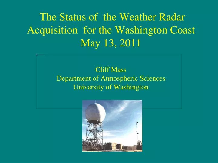
The Status of the Weather Radar Acquisition for the Washington CoastMay 13, 2011Cliff Mass Department of Atmospheric SciencesUniversity of Washington
YOU KNOW THE PROBLEM! Radar coverage for the lowest beam (.5 degree elevation angle) for the current network. Red areas indicate no coverage below 8000 m (25,000 ft). Radar coverage calculations by Ken Westrick
There Has Been Lots of Movement on the Acquisition and Installation of the New Coastal Radar
The Location is Decided: Langley Hill • 3 miles east of Copalis Beach, a coastal town. • On a 250 ft wooded hill.
On March 18th a lease for the land was signed; days later construction was initiated
Beam blockage at 0.0° elevation angle for different radar locations(using ~1 km resolution terrain and a 30 m tower)
Beam blockage at 0.5° elevation angle for different radar locations(using ~1 km resolution terrain and a 30 m tower)
Beam blockage at 1.0° elevation angle for different radar locations(using ~1 km resolution terrain and a 30 m tower)
Beam blockage at 1.5° elevation angle for different radar locations(using ~1 km resolution terrain and a 30 m tower)
Beam blockage at 2.0° elevation angle for different radar locations(using ~1 km resolution terrain and a 30 m tower)
We Got A Taste of the Value of a Coastal Weather Radar During the IMPROVE Field Program in January-February 2001
dBZ Reflectivity from S-Pol radar at Westport 0031 UTC 2 Feb 2001 at 0.5 degree elevation
Why? There was enough money for new! • A used WSR-88D radar (same as the rest of the network) was available from the Air Force. • The WSR-88Ds have been modernized over the years. • The NWS was nervous about maintaining a different radar • The Langley Hill radar would be refurbished and updated before installation
The First (and ONLY) National Weather Service Radar With A Zero-Degree Elevation Angle
Distance-Height Diagram for Zero Degree and Standard 88-D Elevation Angles Note the absence of low-level coverage of the standard .5 degree elevation angle at greater distances (more than 100 km out). The zero degree angle provides a major improvement in coverage at long ranges in the critical lower atmosphere.
Advantages of Polarized Radars • Can use to determine precipitation type. • Can be used to determine more accurate precipitation intensity. • Far better in securing precipitation intensity in complex terrain when there is partial beam blockage.
Schedule • The tower should be up during June. • Strong assurances by NWS folks that the radar would be operational by the end of THIS September! • This will be a neutral ENSO year with the potential for big storms.
Senator Maria Cantwell: played crucial role in gaining resources for the radar
Plus The Active Lobbying By a Long List of Regional Meteorologists, Businesses, Local Governments, Environmental Groups, and Others.
The right diagram indicates the effective coverage of the Weather Service radars for all elevation angles at 10,000 ft above mean sea level, with hatching indicating substantial blockage.