Download
1 / 20
200 likes | 389 Views
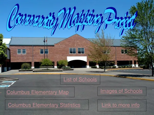
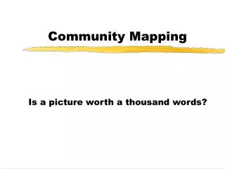
Community Mapping. Is a picture worth a thousand words?. Session Topics. An introduction to community maps Community maps - a valuable planning tool Using maps as a decision making tool. Planning Responsibilities. City Councils, borough assemblies, tribal councils

E N D
Community Mapping Is a picture worth a thousand words?
Session Topics • An introduction to community maps • Community maps - a valuable planning tool • Using maps as a decision making tool
Planning Responsibilities • City Councils, borough assemblies, tribal councils • Prepare community, land use, & economic developmentplans • Use plans and make decisions • Figure out how to fund projects • Community maps can help!
Community Maps • A MUST have resource • Valuable source of information • Excellent tool that focuses discussions • Easy to use • Can support/document decisions
Alaska Department of Commerce, Community, & Economic Development As DCRA Prepared Community z Profile Maps in the 1970’s and 80’s. Two years ago DCED initiated a z program for a more coordinated effort. Agencies and groups combine efforts for a map that meets many needs. DCED maintains a library of z Community Profile Maps
Community Profile Products • New aerial photographs • Developed area + surrounding area • AutoCad (can be updated & converted to GIS ) • Very accurate (rectified) • Land records research • Topo • Communities can add information • Paper copies, CD Rom, Commerce web page
Profile Funding • 50% grant funds • 50% local contribution • Limited to groups of communities
You are the experts Community puzzle land use, land ownership, future land use, hazard areas, Seeing is easier Good information = good decisions Site control Support proposals and decisions Putting Community Plans To Work!
Are Your Development Decisions Important? • Community development decisions • are long term • can have positive or negative impacts on • public safety • public health/environment • community budgets • personal budgets • quality of life • land ownership • funding • Examples
Protect Important Places subsistence recreation cultural Quality of Life
Land Ownership • Who are major land owners? • cities • village corporations • churches • individuals • Many conflicts exist on private land • native allotments • townsite lots • church land
Funding • Site control • Flood and erosion hazards • Support decisions • Community positions/project negotiations
? Is a picture worth a thousand words or much more?
MUCH MORE!!! • Good community maps are a valuable tool that can : • Help you understand the pieces of your community • Help you see how the pieces fit together • Help you prepare plans • Help you make better decisions • Help focus discussions about development • Help you protect important sites • Help you avoid site control problems • Help you prepare grant applications
Recommendations • If you have current community maps use them! • If you don’t, when the opportunity comes along, participate in a community profiles project . • Contact: • Keith Jost, Div. of Community and Regional Affairs 269-4548